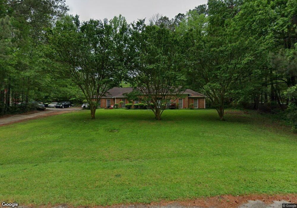
948 Highway 92 N Fayetteville, GA 30214
Estimated Value: $337,434 - $405,000
--
Bed
3
Baths
2,024
Sq Ft
$191/Sq Ft
Est. Value
About This Home
This home is located at 948 Highway 92 N, Fayetteville, GA 30214 and is currently estimated at $386,609, approximately $191 per square foot. 948 Highway 92 N is a home located in Fayette County with nearby schools including Bennett's Mill Middle School, Fayette County High School, and The Forest School: An Acton Academy.
Ownership History
Date
Name
Owned For
Owner Type
Purchase Details
Closed on
Nov 5, 1993
Sold by
Ottone Filomena
Bought by
Dorsey Edward C Kathy
Current Estimated Value
Home Financials for this Owner
Home Financials are based on the most recent Mortgage that was taken out on this home.
Original Mortgage
$99,750
Interest Rate
7.03%
Create a Home Valuation Report for This Property
The Home Valuation Report is an in-depth analysis detailing your home's value as well as a comparison with similar homes in the area
Home Values in the Area
Average Home Value in this Area
Purchase History
| Date | Buyer | Sale Price | Title Company |
|---|---|---|---|
| Dorsey Edward C Kathy | $114,000 | -- |
Source: Public Records
Mortgage History
| Date | Status | Borrower | Loan Amount |
|---|---|---|---|
| Closed | Dorsey Edward C Kathy | $99,750 |
Source: Public Records
Tax History Compared to Growth
Tax History
| Year | Tax Paid | Tax Assessment Tax Assessment Total Assessment is a certain percentage of the fair market value that is determined by local assessors to be the total taxable value of land and additions on the property. | Land | Improvement |
|---|---|---|---|---|
| 2024 | $1,057 | $127,356 | $11,784 | $115,572 |
| 2023 | $1,057 | $120,024 | $10,064 | $109,960 |
| 2022 | $1,083 | $112,972 | $8,772 | $104,200 |
| 2021 | $1,089 | $88,872 | $7,912 | $80,960 |
| 2020 | $1,430 | $80,872 | $7,912 | $72,960 |
| 2019 | $1,387 | $77,632 | $7,912 | $69,720 |
| 2018 | $1,269 | $70,600 | $6,880 | $63,720 |
| 2017 | $1,101 | $61,172 | $6,452 | $54,720 |
| 2016 | $1,540 | $54,532 | $6,452 | $48,080 |
| 2015 | $1,440 | $50,292 | $6,452 | $43,840 |
| 2014 | $1,312 | $45,292 | $6,452 | $38,840 |
| 2013 | -- | $42,092 | $0 | $0 |
Source: Public Records
Map
Nearby Homes
- 220 Eastmark Way
- 671 Ginger Cake Rd
- 636 Ginger Cake Rd
- 0 Highway 92 N Unit 10594507
- 0 Highway 92 N Unit 7570733
- 120 Gentle Doe Dr
- 145 Woodsong Dr
- 615 New Hope Rd
- 615 New Hope Rd Unit NO SUBDIVISION
- 100 Carlyle Ln
- 550 Ginger Cake Rd
- 210 New Oak Ridge Trail
- 125 Sir Lancelot Ct
- 190 Rolison Way
- 145 Walden Way Unit 2
- 140 Rolison Way
- 150 Rolison Way
- 235 Rolison Way
- 170 Liberty Dr
- 150 Bartow St Unit LOT 5
- 922 Highway 92 N
- 111 Weathervane Lane Dr
- 735 Ginger Cake Rd
- 735 Ginger Cake Rd Unit 4
- 741 Ginger Cake Rd
- 731 Ginger Cake Rd
- 747 Ginger Cake Rd
- 908 Highway 92 N
- 110 Riley Ave
- 723 Ginger Cake Rd
- 120 Riley Ave
- 100 Riley Ave
- 902 Highway 92 N
- 711 Ginger Cake Rd
- 919 Highway 92 N
- 707 Ginger Cake Rd
- 130 Riley Ave
- 0 Brogdan Rd and Highway 92 N Unit 8556105
- 736 Ginger Cake Rd
- 947 Highway 92 N