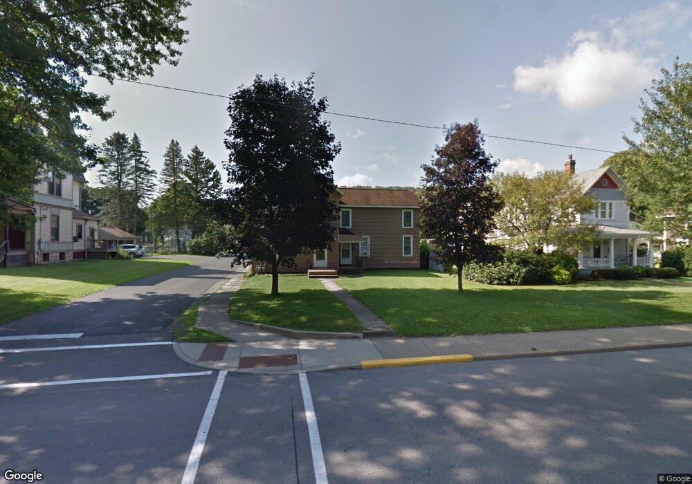
948 Main St Unit 950 Brockway, PA 15824
Estimated Value: $94,000 - $147,000
--
Bed
--
Bath
909
Sq Ft
$140/Sq Ft
Est. Value
About This Home
This home is located at 948 Main St Unit 950, Brockway, PA 15824 and is currently estimated at $127,667, approximately $140 per square foot. 948 Main St Unit 950 is a home located in Jefferson County with nearby schools including Brockway Area Elementary School, Brockway Area Junior/Senior High School, and Hillside School.
Ownership History
Date
Name
Owned For
Owner Type
Purchase Details
Closed on
Oct 28, 2022
Sold by
Esposito Karen Ann
Bought by
F & M Esposito Llc
Current Estimated Value
Purchase Details
Closed on
Jul 12, 2022
Sold by
Michael Esposito Francis
Bought by
Esposito Karen Ann
Purchase Details
Closed on
Feb 6, 2015
Sold by
Esposito Martha M and Esposito Thomas Edward
Bought by
Esposito Martha M
Create a Home Valuation Report for This Property
The Home Valuation Report is an in-depth analysis detailing your home's value as well as a comparison with similar homes in the area
Home Values in the Area
Average Home Value in this Area
Purchase History
| Date | Buyer | Sale Price | Title Company |
|---|---|---|---|
| F & M Esposito Llc | -- | -- | |
| Esposito Karen Ann | -- | Gleason Cherry & Cherry Llp | |
| Esposito Martha M | -- | None Available |
Source: Public Records
Tax History Compared to Growth
Tax History
| Year | Tax Paid | Tax Assessment Tax Assessment Total Assessment is a certain percentage of the fair market value that is determined by local assessors to be the total taxable value of land and additions on the property. | Land | Improvement |
|---|---|---|---|---|
| 2025 | $1,550 | $32,740 | $4,770 | $27,970 |
| 2024 | $1,769 | $32,740 | $4,770 | $27,970 |
| 2023 | $1,518 | $32,740 | $4,770 | $27,970 |
| 2022 | $1,493 | $32,740 | $4,770 | $27,970 |
| 2021 | $1,518 | $32,740 | $4,770 | $27,970 |
| 2020 | $1,518 | $32,740 | $4,770 | $27,970 |
| 2019 | $1,464 | $32,740 | $4,770 | $27,970 |
| 2018 | $1,400 | $32,740 | $4,770 | $27,970 |
| 2017 | $1,382 | $32,740 | $4,770 | $27,970 |
| 2016 | $1,248 | $32,740 | $4,770 | $27,970 |
| 2015 | -- | $32,740 | $4,770 | $27,970 |
| 2012 | -- | $32,740 | $4,770 | $27,970 |
Source: Public Records
Map
Nearby Homes
- 1074 10th Ave
- 1549 Main St
- 924 Elm St
- 0 U S 219
- 970 Baghdad Rd
- 7956 U S 219
- 425 Zuccolotto Ln
- 19 Salandra Ln
- 1083 Rattlesnake Rd
- 101 Howard Rd
- 5850 U S 219
- 5546 Stevenson Hill Rd
- 390 Galliot Ct
- 636 Cap Haitien Rd
- 0 Cap Haitien Rd Unit SEC 17 LOT 14
- Section 14 Lot 24 Port-Au-prince Rd
- 14 Port-Au-prince Rd
- 13 Cap Haitien Rd
- 579 Codrington Rd
- 580 Codrington Rd