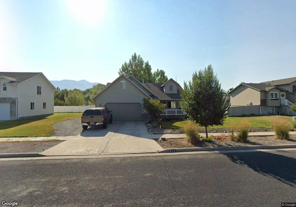
948 Meadowbrook Dr Logan, UT 84321
Woodruff NeighborhoodEstimated Value: $411,000 - $432,000
4
Beds
2
Baths
2,160
Sq Ft
$196/Sq Ft
Est. Value
About This Home
This home is located at 948 Meadowbrook Dr, Logan, UT 84321 and is currently estimated at $423,339, approximately $195 per square foot. 948 Meadowbrook Dr is a home located in Cache County with nearby schools including Woodruff School, Mount Logan Middle School, and Logan High School.
Ownership History
Date
Name
Owned For
Owner Type
Purchase Details
Closed on
Nov 5, 2010
Sold by
Myler Cory John and Myler Laurel Kay
Bought by
Olsen Matthew James
Current Estimated Value
Home Financials for this Owner
Home Financials are based on the most recent Mortgage that was taken out on this home.
Original Mortgage
$5,775
Outstanding Balance
$3,788
Interest Rate
4.23%
Mortgage Type
Stand Alone Second
Estimated Equity
$419,551
Create a Home Valuation Report for This Property
The Home Valuation Report is an in-depth analysis detailing your home's value as well as a comparison with similar homes in the area
Home Values in the Area
Average Home Value in this Area
Purchase History
| Date | Buyer | Sale Price | Title Company |
|---|---|---|---|
| Olsen Matthew James | -- | American Secure Title Logan |
Source: Public Records
Mortgage History
| Date | Status | Borrower | Loan Amount |
|---|---|---|---|
| Open | Olsen Matthew James | $5,775 | |
| Open | Olsen Matthew James | $160,817 |
Source: Public Records
Tax History
| Year | Tax Paid | Tax Assessment Tax Assessment Total Assessment is a certain percentage of the fair market value that is determined by local assessors to be the total taxable value of land and additions on the property. | Land | Improvement |
|---|---|---|---|---|
| 2025 | $1,725 | $223,140 | $0 | $0 |
| 2024 | $1,771 | $221,830 | $0 | $0 |
| 2023 | $1,831 | $218,650 | $0 | $0 |
| 2022 | $1,680 | $187,300 | $0 | $0 |
| 2021 | $1,631 | $281,035 | $43,000 | $238,035 |
| 2020 | $1,417 | $219,721 | $43,000 | $176,721 |
| 2019 | $1,481 | $219,720 | $43,000 | $176,720 |
| 2018 | $1,452 | $196,670 | $43,000 | $153,670 |
| 2017 | $1,357 | $97,185 | $0 | $0 |
| 2016 | $1,407 | $97,185 | $0 | $0 |
| 2015 | $1,258 | $86,810 | $0 | $0 |
| 2014 | $1,138 | $86,810 | $0 | $0 |
| 2013 | -- | $86,810 | $0 | $0 |
Source: Public Records
Map
Nearby Homes
- 1206 S 900 W
- 591 Southwest St
- 553 Center Ave
- 1204 W 575 S
- 1210 W 575 S Unit 163
- 1210 W 575 S
- 562 S 1215 W Unit 135
- 551 S 1215 W Unit 131
- 539 S 1215 W Unit 129
- 1239 W 575 S
- 420 S 1400 W
- 1099 Three Pointe Ave
- 952 W 330 S
- 1031 W 350 S
- 1400 S 940 W
- 370 S 1200 W Unit 2
- 1024 S 270 W
- 238 W 1010 S Unit 43
- 233 W 1010 S
- 409 W 3085 S
- 936 Meadowbrook Dr
- 962 Meadowbrook Dr
- 953 Meadowbrook Dr
- 953 Meadowbrook Dr
- 984 Meadowbrook Dr
- 875 W 1000 S
- 971 Meadowbrook Dr
- 869 W 1000 S
- 857 W 1000 S
- 927 Meadowbrook Dr
- 995 Meadowbrook Dr
- 861 W 1000 S
- 849 W 1000 S
- 922 Meadowbrook Dr
- 930 Meadowbrook Dr
- 1008 S 900 W
- 915 Meadowbrook Dr
- 845 W 1000 S
- 841 W 1000 S
- 3309 S 450 W
Your Personal Tour Guide
Ask me questions while you tour the home.