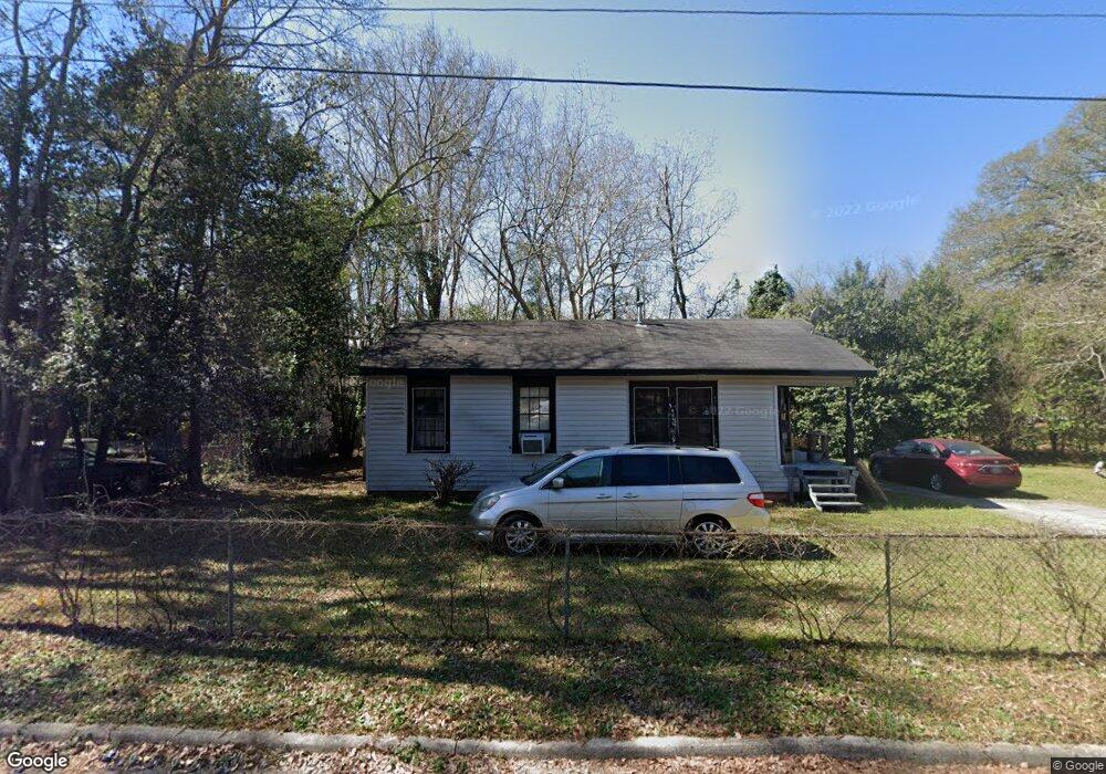
948 Morningside Dr Macon, GA 31217
Estimated Value: $71,302 - $87,000
2
Beds
1
Bath
996
Sq Ft
$80/Sq Ft
Est. Value
About This Home
This home is located at 948 Morningside Dr, Macon, GA 31217 and is currently estimated at $79,326, approximately $79 per square foot. 948 Morningside Dr is a home located in Bibb County with nearby schools including Bernd Elementary School, Appling Middle School, and Northeast High School.
Ownership History
Date
Name
Owned For
Owner Type
Purchase Details
Closed on
Jun 7, 2010
Sold by
Brown Robert
Bought by
Alston Lisa Star
Current Estimated Value
Purchase Details
Closed on
Mar 29, 2006
Purchase Details
Closed on
Mar 23, 2006
Bought by
Brown Robert
Purchase Details
Closed on
May 20, 2004
Purchase Details
Closed on
Feb 10, 2004
Purchase Details
Closed on
Aug 5, 2003
Purchase Details
Closed on
Jul 31, 2001
Purchase Details
Closed on
Feb 19, 1999
Create a Home Valuation Report for This Property
The Home Valuation Report is an in-depth analysis detailing your home's value as well as a comparison with similar homes in the area
Purchase History
| Date | Buyer | Sale Price | Title Company |
|---|---|---|---|
| Alston Lisa Star | $17,898 | None Available | |
| -- | $22,500 | -- | |
| Brown Robert | $18,500 | -- | |
| -- | $13,500 | -- | |
| -- | -- | -- | |
| -- | $36,200 | -- | |
| -- | $50,000 | -- | |
| -- | $44,000 | -- |
Source: Public Records
Tax History
| Year | Tax Paid | Tax Assessment Tax Assessment Total Assessment is a certain percentage of the fair market value that is determined by local assessors to be the total taxable value of land and additions on the property. | Land | Improvement |
|---|---|---|---|---|
| 2025 | $227 | $16,254 | $1,100 | $15,154 |
| 2024 | $413 | $16,254 | $1,100 | $15,154 |
| 2023 | $413 | $16,254 | $1,100 | $15,154 |
| 2022 | $472 | $13,629 | $2,289 | $11,340 |
| 2021 | $379 | $9,971 | $1,526 | $8,445 |
| 2020 | $330 | $8,510 | $1,272 | $7,238 |
| 2019 | $333 | $8,510 | $1,272 | $7,238 |
| 2018 | $690 | $8,510 | $1,272 | $7,238 |
| 2017 | $319 | $8,510 | $1,272 | $7,238 |
| 2016 | $294 | $8,510 | $1,272 | $7,238 |
| 2015 | $438 | $8,934 | $1,696 | $7,238 |
| 2014 | $551 | $9,782 | $2,544 | $7,238 |
Source: Public Records
Map
Nearby Homes
- 964 Irving Dr
- 860 Morningside Dr
- 2675 Andy Dr
- 896 Roseview Dr
- 2720 Jordan Ave
- 2320 Jeffersonville Rd
- 1324 Jeffersonville Rd
- 2750 Lakeshore Dr
- 2066 Melton Ave
- 2229 New Clinton Rd
- 4436 Jeffersonville Rd
- 875 Artic Cir
- 2161 Melton Ave
- 1840 Kinder Kare Dr
- 2146 Melton Ave
- 875 Artic Place
- 837 Artic Cir
- 1977 Thomas Dr
- 3009 Millerfield Rd
- 3020 Millerfield Rd
- 931 Perry Dr
- 916 Morningside Dr
- 944 Morningside Dr
- 915 Perry Dr
- 929 Morningside Dr
- 941 Morningside Dr
- 917 Morningside Dr
- 904 Morningside Dr
- 953 Morningside Dr
- 893 Perry Dr
- 905 Morningside Dr
- 936 Perry Dr
- 963 Morningside Dr
- 928 Perry Dr
- 892 Morningside Dr
- 956 Perry Dr
- 910 Perry Dr
- 974 Perry Dr
- 884 Morningside Dr
- 883 Perry Dr
Your Personal Tour Guide
Ask me questions while you tour the home.