948 SW Cedar St Pilot Rock, OR 97868
Estimated Value: $219,000 - $261,197
4
Beds
2
Baths
2,070
Sq Ft
$118/Sq Ft
Est. Value
About This Home
This home is located at 948 SW Cedar St, Pilot Rock, OR 97868 and is currently estimated at $243,799, approximately $117 per square foot. 948 SW Cedar St is a home located in Umatilla County with nearby schools including Pilot Rock Elementary School and Pilot Rock High School.
Ownership History
Date
Name
Owned For
Owner Type
Purchase Details
Closed on
Jan 2, 2018
Sold by
Thornton Christopher
Bought by
Vermillion Frank G and Vermillion Cheryl A
Current Estimated Value
Home Financials for this Owner
Home Financials are based on the most recent Mortgage that was taken out on this home.
Original Mortgage
$126,262
Outstanding Balance
$106,496
Interest Rate
3.92%
Mortgage Type
New Conventional
Estimated Equity
$137,303
Purchase Details
Closed on
Oct 3, 2012
Sold by
Wagenaar Arvin L
Bought by
Thornton Christopher
Home Financials for this Owner
Home Financials are based on the most recent Mortgage that was taken out on this home.
Original Mortgage
$92,755
Interest Rate
3.63%
Mortgage Type
New Conventional
Create a Home Valuation Report for This Property
The Home Valuation Report is an in-depth analysis detailing your home's value as well as a comparison with similar homes in the area
Home Values in the Area
Average Home Value in this Area
Purchase History
| Date | Buyer | Sale Price | Title Company |
|---|---|---|---|
| Vermillion Frank G | $125,000 | Amerititle | |
| Thornton Christopher | $96,900 | Amerititle |
Source: Public Records
Mortgage History
| Date | Status | Borrower | Loan Amount |
|---|---|---|---|
| Open | Vermillion Frank G | $126,262 | |
| Previous Owner | Thornton Christopher | $92,755 |
Source: Public Records
Tax History Compared to Growth
Tax History
| Year | Tax Paid | Tax Assessment Tax Assessment Total Assessment is a certain percentage of the fair market value that is determined by local assessors to be the total taxable value of land and additions on the property. | Land | Improvement |
|---|---|---|---|---|
| 2024 | $2,287 | $132,470 | $26,670 | $105,800 |
| 2023 | $2,240 | $128,620 | $25,900 | $102,720 |
| 2022 | $2,128 | $124,880 | $0 | $0 |
| 2021 | $2,134 | $121,250 | $24,410 | $96,840 |
| 2020 | $1,881 | $117,720 | $23,690 | $94,030 |
| 2018 | $1,771 | $114,300 | $23,000 | $91,300 |
| 2017 | $1,796 | $113,420 | $16,630 | $96,790 |
| 2016 | $1,828 | $110,120 | $16,150 | $93,970 |
| 2015 | $1,797 | $100,790 | $14,780 | $86,010 |
| 2014 | $1,732 | $100,790 | $14,780 | $86,010 |
Source: Public Records
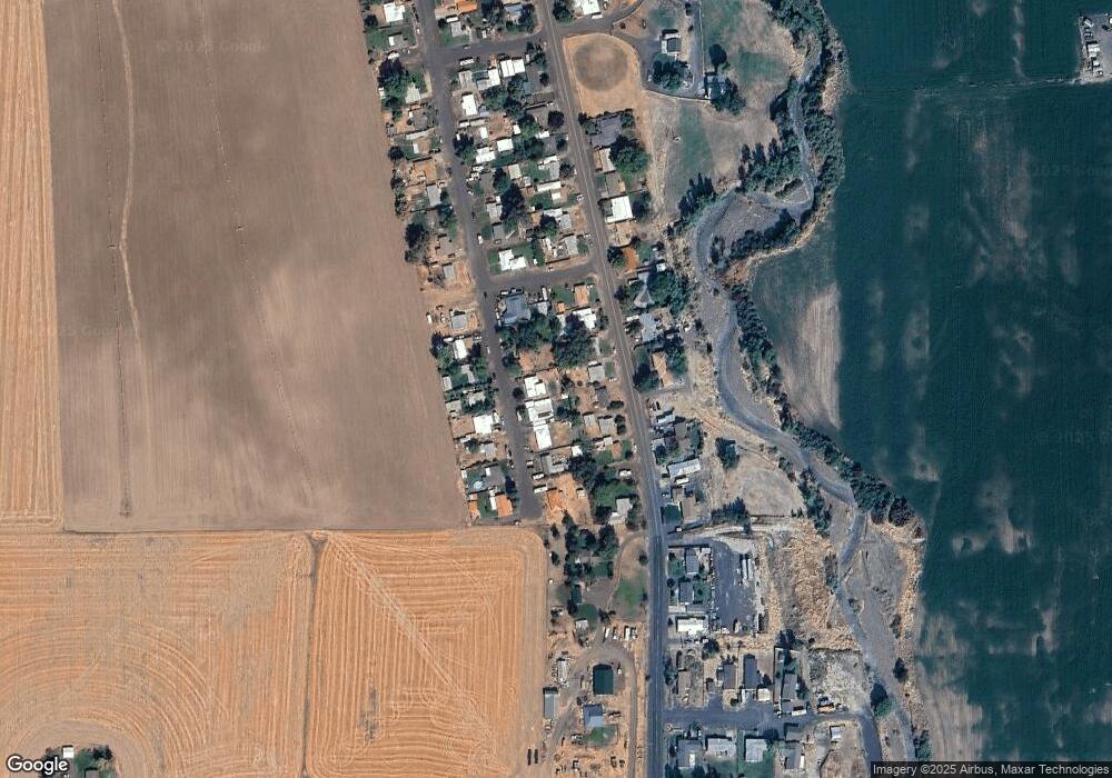
Map
Nearby Homes
- 559 SW Cedar St
- 237 SW 2nd St
- 520 NE 4th St
- 44743 McKay Creek Rd
- 63615 E Birch Creek Ed
- 000 Motanic Rd
- 70741 SW Douglas Dr
- 0000 County 1031 Rd
- 71251 Appaloosa Ln
- 72062 Westfield Blvd
- 1524 SW 44th St
- 0 Mckay Dr
- 1511 SW 41st St
- 71594 Angus Ave
- 1437 SW 40th St
- 1911 SW 3rd St
- 1415 SW 44th St
- 1908 SW 2nd Dr
- 1437 SW 37th St Unit 43
- 1837 SW Athens Ave
- 956 SW Cedar St
- 957 SW Cedar St
- 972 SW Cedar St
- 949 SW Cedar St
- 926 SW Cedar St
- 939 SW Cedar St
- 973 SW Cedar St
- 927 SW Cedar St
- 988 SW Cedar St
- 953 SW Birch St
- 943 SW Birch St
- 910 SW Cedar St
- 935 SW Birch St
- 965 SW Birch St
- 989 SW Cedar St
- 911 SW Cedar St
- 923 SW Birch St
- 996 SW Cedar St
- 973 SW Birch St
- 997 SW Cedar St