9485 Red Bird Ln Unit 2 Alpharetta, GA 30022
Estimated Value: $971,000 - $1,211,000
5
Beds
5
Baths
3,688
Sq Ft
$305/Sq Ft
Est. Value
About This Home
This home is located at 9485 Red Bird Ln Unit 2, Alpharetta, GA 30022 and is currently estimated at $1,123,255, approximately $304 per square foot. 9485 Red Bird Ln Unit 2 is a home located in Fulton County with nearby schools including State Bridge Crossing Elementary School, Autrey Mill Middle School, and Johns Creek High School.
Ownership History
Date
Name
Owned For
Owner Type
Purchase Details
Closed on
Mar 24, 2016
Sold by
Imig Justin
Bought by
Wheatly Roger and Wheatly Denise
Current Estimated Value
Home Financials for this Owner
Home Financials are based on the most recent Mortgage that was taken out on this home.
Original Mortgage
$350,000
Outstanding Balance
$276,747
Interest Rate
3.62%
Mortgage Type
New Conventional
Estimated Equity
$846,508
Purchase Details
Closed on
Dec 30, 2011
Sold by
Citi Reo Holdings Inc
Bought by
Imig Justin and Imig Eva
Home Financials for this Owner
Home Financials are based on the most recent Mortgage that was taken out on this home.
Original Mortgage
$417,000
Interest Rate
4.06%
Mortgage Type
New Conventional
Purchase Details
Closed on
Apr 5, 2011
Sold by
Han Ki H and Han Sook I
Bought by
Citi Reo Holdings Inc
Purchase Details
Closed on
Jun 9, 1995
Sold by
Custom Homes Inc
Bought by
Han Ki H Sook I
Create a Home Valuation Report for This Property
The Home Valuation Report is an in-depth analysis detailing your home's value as well as a comparison with similar homes in the area
Home Values in the Area
Average Home Value in this Area
Purchase History
| Date | Buyer | Sale Price | Title Company |
|---|---|---|---|
| Wheatly Roger | $620,280 | -- | |
| Imig Justin | $485,000 | -- | |
| Citi Reo Holdings Inc | $200,000 | -- | |
| Han Ki H Sook I | $350,000 | -- |
Source: Public Records
Mortgage History
| Date | Status | Borrower | Loan Amount |
|---|---|---|---|
| Open | Wheatly Roger | $350,000 | |
| Previous Owner | Imig Justin | $417,000 | |
| Closed | Han Ki H Sook I | $0 |
Source: Public Records
Tax History Compared to Growth
Tax History
| Year | Tax Paid | Tax Assessment Tax Assessment Total Assessment is a certain percentage of the fair market value that is determined by local assessors to be the total taxable value of land and additions on the property. | Land | Improvement |
|---|---|---|---|---|
| 2025 | $6,581 | $372,560 | $60,200 | $312,360 |
| 2023 | $9,683 | $343,040 | $58,600 | $284,440 |
| 2022 | $6,291 | $283,240 | $48,280 | $234,960 |
| 2021 | $6,255 | $266,920 | $53,720 | $213,200 |
| 2020 | $6,243 | $217,600 | $50,720 | $166,880 |
| 2019 | $731 | $217,600 | $50,720 | $166,880 |
| 2018 | $6,154 | $268,000 | $72,440 | $195,560 |
| 2017 | $6,431 | $188,960 | $45,520 | $143,440 |
| 2016 | $6,338 | $188,960 | $45,520 | $143,440 |
| 2015 | $6,409 | $188,960 | $45,520 | $143,440 |
| 2014 | $6,664 | $188,960 | $45,520 | $143,440 |
Source: Public Records
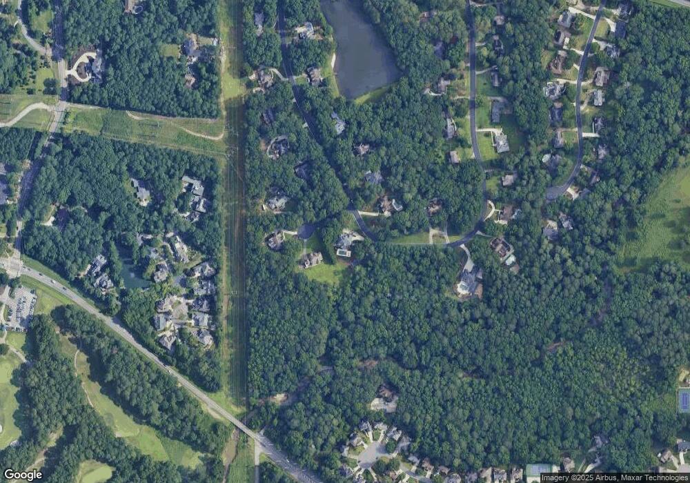
Map
Nearby Homes
- 5005 Johns Creek Ct
- 1650 Stethem Ferry
- 1950 Stethem Ferry
- 9410 Knollcrest Blvd
- 455 Oak Laurel Ct
- 4435 Pemberton Cove
- 5255 Buice Rd
- 9950 Farmbrook Ln
- 300 High Bridge Chase
- 5590 Broad River View
- 5195 Bandolino Ln
- 5570 Broad River View
- 5205 Bandolino Ln
- 5550 Broad River View
- 720 Buttercup Trace
- 5115 Bandolino Ln
- 525 Avala Ct
- 5470 Bandolino Ln
- 5470 Bandolino Ln Unit 418
- 5715 Broad River View
- 110 Red Bird Ct Unit 2
- 9570 Red Bird Ln Unit 2
- 120 Red Bird Ct
- 9560 Red Bird Ln
- 0 Red Bird Ct Unit 7551674
- 0 Red Bird Ct
- 115 Red Bird Ct
- 9465 Red Bird Ln
- 9550 Red Bird Ln
- 9580 Red Bird Ln
- 9455 Red Bird Ln Unit II
- 9540 Red Bird Ln
- 9505 Red Bird Ln
- 9590 Red Bird Ln
- 9600 Red Bird Ln Unit 1
- 185 Stone Pond Ln
- 175 Stone Pond Ln
- 180 Stone Pond Ln
- 4810 Old Alabama Rd
- 9555 Red Bird Ln Unit 2