9486 N 530 Rd Tahlequah, OK 74464
Estimated Value: $320,000 - $424,000
3
Beds
1
Bath
2,204
Sq Ft
$166/Sq Ft
Est. Value
About This Home
This home is located at 9486 N 530 Rd, Tahlequah, OK 74464 and is currently estimated at $366,194, approximately $166 per square foot. 9486 N 530 Rd is a home located in Cherokee County with nearby schools including Lowrey School.
Ownership History
Date
Name
Owned For
Owner Type
Purchase Details
Closed on
Jul 27, 2021
Sold by
Watts Larry and Watts Laura
Bought by
Watts Larry D and Watts Laura
Current Estimated Value
Purchase Details
Closed on
Dec 8, 2014
Sold by
Watts Larry and Watts Laura
Bought by
Watts Living Trust
Create a Home Valuation Report for This Property
The Home Valuation Report is an in-depth analysis detailing your home's value as well as a comparison with similar homes in the area
Home Values in the Area
Average Home Value in this Area
Purchase History
| Date | Buyer | Sale Price | Title Company |
|---|---|---|---|
| Watts Larry D | -- | None Available | |
| Watts Living Trust | -- | None Available |
Source: Public Records
Tax History Compared to Growth
Tax History
| Year | Tax Paid | Tax Assessment Tax Assessment Total Assessment is a certain percentage of the fair market value that is determined by local assessors to be the total taxable value of land and additions on the property. | Land | Improvement |
|---|---|---|---|---|
| 2025 | $779 | $11,412 | $1,124 | $10,288 |
| 2024 | $779 | $11,080 | $1,091 | $9,989 |
| 2023 | $779 | $10,757 | $1,063 | $9,694 |
| 2022 | $741 | $10,444 | $1,038 | $9,406 |
| 2021 | $714 | $10,140 | $1,008 | $9,132 |
| 2020 | $633 | $9,844 | $978 | $8,866 |
| 2019 | $682 | $9,558 | $950 | $8,608 |
| 2018 | $663 | $9,279 | $922 | $8,357 |
| 2017 | $649 | $9,010 | $1,621 | $7,389 |
| 2016 | $630 | $8,748 | $1,621 | $7,127 |
| 2015 | $521 | $8,493 | $1,621 | $6,872 |
| 2014 | $487 | $8,005 | $1,621 | $6,384 |
Source: Public Records
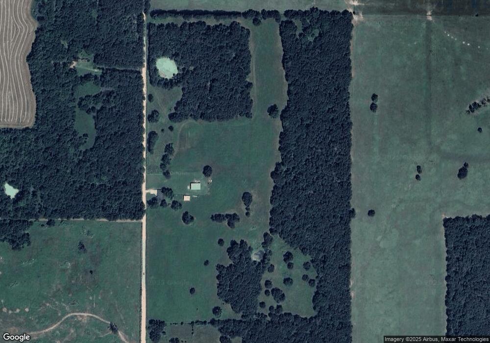
Map
Nearby Homes
- 00000 E 660 Rd
- 8195 Highway 82a
- 8119 N 544 Rd
- 18079 E 680 Rd
- 22449 E 664 Rd
- 17844 E 688 Rd
- 11457 N 510 Rd
- 12562 N Webster Rd
- 0 N 510 Rd Unit 2543283
- 0 N 510 Rd Unit 2543284
- 0 N 510 Rd Unit 2543190
- 0 N 510 Rd Unit 2543294
- 0 N 510 Rd Unit 2543293
- 0 N 510 Rd Unit 2546232
- 0 N 510 Rd Unit 2543297
- 11077 N Elm Grove Rd
- 21088 E Steely Hollow Rd
- 16246 E 647 Rd
- 13552 State Highway 82
- 20819 E Steely Hollow Rd
- 9652 N 530 Rd
- 0 530 Unit 1192291
- 20119 E 670 Rd
- 20187 E 670 Rd
- 20176 E 670 Rd
- 20368 Highway 82b
- 20451 Highway 82b
- 19626 Highway 82b
- 19883 Highway 82b
- 20761 Highway 82b
- 20761 Hwy 82 B
- 20778 Highway 82b
- 19526 82nd St
- 19526 Highway 82b
- 19621 Highway 82b
- 19452 E 670 Rd
- 20907 E 663 Rd
- 8644 N 530 Rd
- 19396 Highway 82b
- 19366 Highway 82b