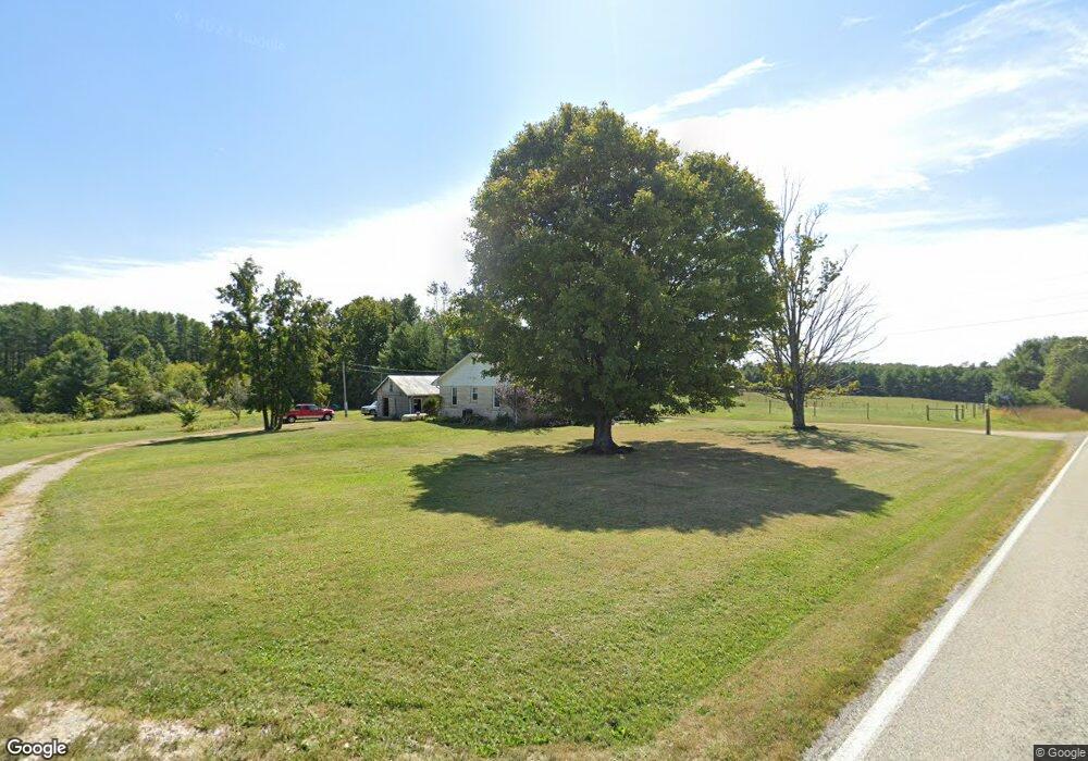
9487 State Road 135 S Freetown, IN 47235
Estimated Value: $132,000 - $249,455
3
Beds
1
Bath
1,008
Sq Ft
$210/Sq Ft
Est. Value
About This Home
This home is located at 9487 State Road 135 S, Freetown, IN 47235 and is currently estimated at $211,864, approximately $210 per square foot. 9487 State Road 135 S is a home with nearby schools including Brown County High School.
Ownership History
Date
Name
Owned For
Owner Type
Purchase Details
Closed on
Jan 19, 2016
Sold by
Smith Robert J
Bought by
Smith Robert J and Smith Rebecca V
Current Estimated Value
Home Financials for this Owner
Home Financials are based on the most recent Mortgage that was taken out on this home.
Original Mortgage
$110,000
Outstanding Balance
$87,251
Interest Rate
3.96%
Mortgage Type
VA
Estimated Equity
$124,613
Purchase Details
Closed on
Dec 17, 2015
Sold by
Miller John Wayne and Miller Brenda L
Bought by
Smith Robert J
Home Financials for this Owner
Home Financials are based on the most recent Mortgage that was taken out on this home.
Original Mortgage
$110,000
Outstanding Balance
$87,251
Interest Rate
3.96%
Mortgage Type
VA
Estimated Equity
$124,613
Create a Home Valuation Report for This Property
The Home Valuation Report is an in-depth analysis detailing your home's value as well as a comparison with similar homes in the area
Home Values in the Area
Average Home Value in this Area
Purchase History
| Date | Buyer | Sale Price | Title Company |
|---|---|---|---|
| Smith Robert J | -- | None Available | |
| Smith Robert J | -- | Attorney |
Source: Public Records
Mortgage History
| Date | Status | Borrower | Loan Amount |
|---|---|---|---|
| Open | Smith Robert J | $110,000 |
Source: Public Records
Tax History Compared to Growth
Tax History
| Year | Tax Paid | Tax Assessment Tax Assessment Total Assessment is a certain percentage of the fair market value that is determined by local assessors to be the total taxable value of land and additions on the property. | Land | Improvement |
|---|---|---|---|---|
| 2024 | $313 | $192,700 | $42,500 | $150,200 |
| 2023 | $249 | $174,200 | $35,000 | $139,200 |
| 2022 | $203 | $151,600 | $30,000 | $121,600 |
| 2021 | $126 | $130,800 | $30,000 | $100,800 |
| 2020 | $92 | $123,800 | $22,500 | $101,300 |
| 2019 | $77 | $118,000 | $22,500 | $95,500 |
| 2018 | $84 | $116,600 | $22,500 | $94,100 |
| 2017 | $33 | $108,600 | $22,500 | $86,100 |
| 2016 | $5 | $105,100 | $22,500 | $82,600 |
| 2014 | $182 | $89,100 | $22,500 | $66,600 |
| 2013 | $182 | $87,800 | $22,500 | $65,300 |
Source: Public Records
Map
Nearby Homes
- 8650 Mount Nebo Rd
- 11000 N County Road 650 W
- 7693 S Bob Allen Rd
- 9601 Buffalo Pike
- 7275 Hamilton Creek Rd
- 2000 Block W 1125 N
- XXXX Keith Donaldson Rd
- 9649 N County Road 450 W
- 7932 S Mount Nebo Rd
- 00 Lutheran Lake Rd
- 6913 Poplar Grove Rd
- 6985 Poplar Grove Rd
- 6947 Poplar Grove Rd
- 7594 W County Road 925 N
- 6873 Poplar Grove Rd
- 3000 W Block Co Rd 900 N
- 14000 W Lake Rd
- 14000 W Mt Healthy Rd
- 14000 W Mount Healthy Rd
- 0 W Mt Healthy Rd Unit MBR21884970
- 5390 McKinney Cemetery Rd
- 9307 S Sr 135
- 9307 Indiana 135
- 9307 State Road 135 S
- 0 E McKinney Cemetery Rd
- 9344 State Road 135 S
- 9773 State Road 135 S
- 5009 McKinney Cemetery Rd
- 9971 Indiana 135
- 9771 State Road 135 S
- 9989 State Road 135 S
- 9050 State Road 135 S
- 9774 State Road 135 S
- 9772 State Road 135 S
- 0 McKinney Cemetery Rd
- 0 McKinney Cemetery Rd Unit 1178150J
- 0 McKinney Cemetery Rd Unit 21437193
- 9772 Indiana 135
- 8991 State Road 135 S
- 8991 State Road 135 S