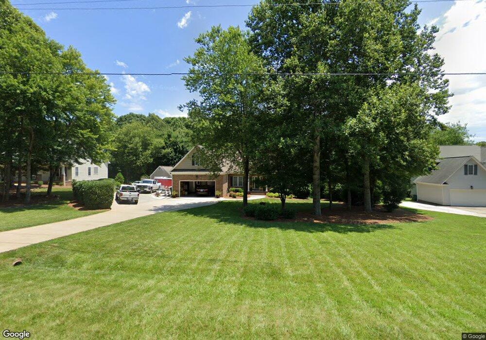
949 Griffin Rd Stokesdale, NC 27357
Estimated Value: $357,758 - $393,000
3
Beds
2
Baths
1,994
Sq Ft
$188/Sq Ft
Est. Value
About This Home
This home is located at 949 Griffin Rd, Stokesdale, NC 27357 and is currently estimated at $374,440, approximately $187 per square foot. 949 Griffin Rd is a home located in Rockingham County with nearby schools including Bethany Elementary School, Rockingham County Middle School, and Rockingham County High School.
Ownership History
Date
Name
Owned For
Owner Type
Purchase Details
Closed on
Oct 8, 2007
Sold by
Gcm Construction Inc
Bought by
Young Glenn A and Young Tina T
Current Estimated Value
Home Financials for this Owner
Home Financials are based on the most recent Mortgage that was taken out on this home.
Original Mortgage
$60,000
Interest Rate
6.44%
Mortgage Type
Purchase Money Mortgage
Create a Home Valuation Report for This Property
The Home Valuation Report is an in-depth analysis detailing your home's value as well as a comparison with similar homes in the area
Home Values in the Area
Average Home Value in this Area
Purchase History
| Date | Buyer | Sale Price | Title Company |
|---|---|---|---|
| Young Glenn A | $220,000 | None Available |
Source: Public Records
Mortgage History
| Date | Status | Borrower | Loan Amount |
|---|---|---|---|
| Closed | Young Glenn A | $60,000 |
Source: Public Records
Tax History Compared to Growth
Tax History
| Year | Tax Paid | Tax Assessment Tax Assessment Total Assessment is a certain percentage of the fair market value that is determined by local assessors to be the total taxable value of land and additions on the property. | Land | Improvement |
|---|---|---|---|---|
| 2025 | $2,250 | $323,679 | $45,000 | $278,679 |
| 2024 | $2,143 | $323,679 | $45,000 | $278,679 |
| 2023 | $2,143 | $197,011 | $25,000 | $172,011 |
| 2022 | $1,537 | $197,011 | $25,000 | $172,011 |
| 2021 | $1,537 | $197,011 | $25,000 | $172,011 |
| 2020 | $1,537 | $197,011 | $25,000 | $172,011 |
| 2019 | $1,537 | $197,011 | $25,000 | $172,011 |
| 2018 | $1,474 | $188,723 | $32,000 | $156,723 |
| 2017 | $1,474 | $188,723 | $32,000 | $156,723 |
| 2015 | $1,489 | $188,723 | $32,000 | $156,723 |
| 2014 | $1,290 | $165,119 | $32,000 | $133,119 |
Source: Public Records
Map
Nearby Homes
- 0 Griffin Rd
- 834 Neal Rd
- 163 E Farm Loop
- 177 E Farm Loop
- Belhaven Plan at Neal Farm
- Penwell Plan at Neal Farm
- Taylor Plan at Neal Farm
- Freeport Plan at Neal Farm
- 113 W Farm Loop
- 110 Levington Way
- 105 Levington Way
- 173 Carlton Rd
- 871 Gold Hill Rd
- 145 Broadwater Way
- 460 Gold Hill Rd
- 409 Willowbrooke Way
- 410 Willowbrooke Way
- 406 Willowbrooke Way
- 125 E Holly Oak Way
- 115 E Holly Oak Way
- 935 Griffin Rd
- 961 Griffin Rd
- 120 Knightshire Dr
- 134 Knightshire Dr
- 910 Griffin Rd
- 926 Griffin Rd
- 00 Griffin Rd
- 157 Knightshire Dr
- Lot 4 Griffin Rd
- 000 Knightshire Dr
- 1026 Griffin Rd
- 00 Knightshire Dr
- 1035 Griffin Rd
- 230 Knightshire Dr
- 210 Knightshire Dr
- 920 Griffin Rd
- 911 Carlton Rd
- 910 Carlton Rd
- 244 Knightshire Dr
- 845 Griffin Rd