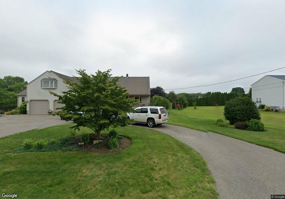
949 Main St Acushnet, MA 02743
Upper Acushnet NeighborhoodEstimated Value: $515,000 - $672,000
3
Beds
2
Baths
1,816
Sq Ft
$340/Sq Ft
Est. Value
About This Home
This home is located at 949 Main St, Acushnet, MA 02743 and is currently estimated at $617,914, approximately $340 per square foot. 949 Main St is a home located in Bristol County with nearby schools including Acushnet Elementary School, Albert F Ford Middle School, and St Francis Xavier Elementary School.
Create a Home Valuation Report for This Property
The Home Valuation Report is an in-depth analysis detailing your home's value as well as a comparison with similar homes in the area
Home Values in the Area
Average Home Value in this Area
Tax History
| Year | Tax Paid | Tax Assessment Tax Assessment Total Assessment is a certain percentage of the fair market value that is determined by local assessors to be the total taxable value of land and additions on the property. | Land | Improvement |
|---|---|---|---|---|
| 2025 | $59 | $544,300 | $177,600 | $366,700 |
| 2024 | $5,715 | $500,900 | $168,300 | $332,600 |
| 2023 | $5,758 | $479,800 | $152,700 | $327,100 |
| 2022 | $5,698 | $429,400 | $143,700 | $285,700 |
| 2021 | $5,300 | $383,200 | $143,700 | $239,500 |
| 2020 | $5,216 | $374,200 | $134,700 | $239,500 |
| 2019 | $5,006 | $353,000 | $128,700 | $224,300 |
| 2018 | $4,847 | $336,100 | $128,700 | $207,400 |
| 2017 | $4,707 | $326,000 | $128,700 | $197,300 |
| 2016 | $4,786 | $329,400 | $128,700 | $200,700 |
| 2015 | $4,395 | $307,800 | $128,700 | $179,100 |
Source: Public Records
Map
Nearby Homes
- 0 Land Way Unit 73479153
- 0 Keene Rd Unit 73459818
- 489 Main St
- 168 Keene Rd
- 199 Quaker Ln
- 363 Main St
- 329 Middle Rd
- 134 Nyes Ln
- 973 Pembroke St
- SS Charbonneau Ln
- 25 Pershing Ave
- 898 Tobey St
- 1015 Forbes St
- 7 Hamlin St
- Lot 3 Beverly St
- 23 Oliveira Ave
- 40 Foley Dr
- 34 Poplar Rd
- ES Acushnet Ave
- 23 Coury Dr
Your Personal Tour Guide
Ask me questions while you tour the home.