949 Promiseland Claxton, GA 30417
Estimated Value: $257,000 - $1,613,760
3
Beds
2
Baths
1,725
Sq Ft
$398/Sq Ft
Est. Value
About This Home
This home is located at 949 Promiseland, Claxton, GA 30417 and is currently estimated at $686,940, approximately $398 per square foot. 949 Promiseland is a home located in Evans County with nearby schools including Claxton Elementary School, Second Chance, and Claxton Middle School.
Ownership History
Date
Name
Owned For
Owner Type
Purchase Details
Closed on
Jan 15, 2021
Sold by
The Claxton Bank
Bought by
Miller Keith E and Miller Kelly S
Current Estimated Value
Purchase Details
Closed on
Dec 19, 2016
Sold by
Testamenta Jerome B
Bought by
Rogers William Henry and Muehl Dorothy Ann
Purchase Details
Closed on
Jun 9, 2009
Sold by
Rogers Dorothy J
Bought by
Jerome B Rogers Testamentary Trust
Purchase Details
Closed on
Aug 30, 1989
Sold by
Patton Development & Investment Co
Bought by
Rogers Jerome B
Create a Home Valuation Report for This Property
The Home Valuation Report is an in-depth analysis detailing your home's value as well as a comparison with similar homes in the area
Home Values in the Area
Average Home Value in this Area
Purchase History
| Date | Buyer | Sale Price | Title Company |
|---|---|---|---|
| Miller Keith E | -- | -- | |
| Rogers William Henry | -- | -- | |
| Rogers William Henry | -- | -- | |
| Jerome B Rogers Testamentary Trust | -- | -- | |
| Rogers Jerome B | $116,400 | -- |
Source: Public Records
Tax History Compared to Growth
Tax History
| Year | Tax Paid | Tax Assessment Tax Assessment Total Assessment is a certain percentage of the fair market value that is determined by local assessors to be the total taxable value of land and additions on the property. | Land | Improvement |
|---|---|---|---|---|
| 2024 | $2,920 | $187,768 | $124,640 | $63,128 |
| 2023 | $2,754 | $182,296 | $138,320 | $43,976 |
| 2022 | $4,681 | $182,296 | $138,320 | $43,976 |
| 2021 | $4,785 | $182,336 | $138,360 | $43,976 |
| 2020 | $4,803 | $182,336 | $138,360 | $43,976 |
| 2019 | $4,795 | $182,336 | $138,360 | $43,976 |
| 2018 | $5,000 | $182,336 | $138,360 | $43,976 |
| 2017 | $4,867 | $182,336 | $138,360 | $43,976 |
| 2016 | $3,629 | $132,928 | $89,520 | $43,408 |
| 2015 | -- | $133,528 | $89,520 | $44,008 |
| 2014 | -- | $131,848 | $89,520 | $42,328 |
| 2013 | -- | $132,448 | $89,520 | $42,928 |
Source: Public Records
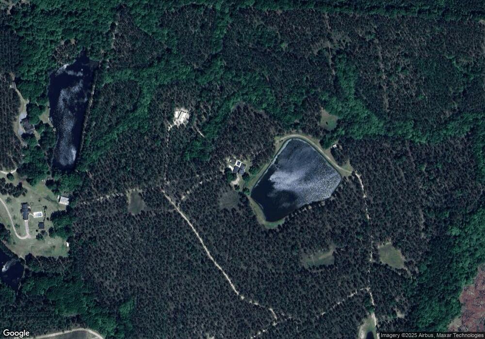
Map
Nearby Homes
- 3772 US Highway 301
- 4164 Perry Rd
- 0 Bay Branch Church Rd Unit 25551331
- 87.21 AC Bay Branch Church Rd
- 00 Sharpe Ln
- 4909 Perry Rd
- 29 Grove Ln
- 12 Wisteria Ln
- 12 Wysteria Ln
- 10 Honeysuckle Dr
- 3 Honeysuckle Dr
- 19 Wysteria Ln
- 7 Honeysuckle Dr
- 7 Honeysuckle Way
- 9 Honeysuckle Dr
- LOT 7 Camp Ground Rd
- 19 Collins St
- 606 Park Ave
- 201 New Dr
- 511 W Smith St
- 949 Promise Land
- 2820 Perry Rd
- 2860 Perry Rd
- 2252 Perry Rd
- 255 Rogers Cir
- 0 Perry Rd Unit 302923
- 152 Rogers Cir
- 2386 Perry Rd
- 4155 Bay Branch Church Rd
- 201 Leon Waters Rd
- 443 Union Church Rd
- 3010 Perry Rd
- 396 Pete Hagan Rd
- 2955 Perry Rd
- 3080 Perry Rd
- 187 Pete Hagan Rd
- 215 Pete Hagan Rd
- 2072 Perry Rd
- 2019 Level Rd
- 4139 Bay Branch Church Rd