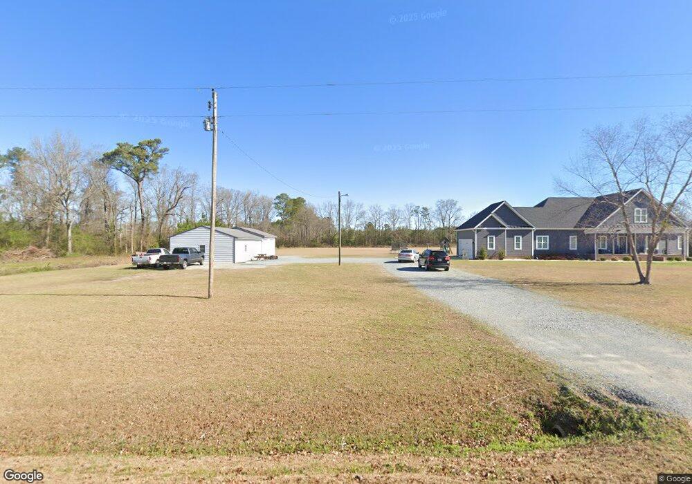
949 Thornton Rd Newton Grove, NC 28366
Meadow NeighborhoodEstimated Value: $244,000 - $537,538
3
Beds
3
Baths
2,534
Sq Ft
$144/Sq Ft
Est. Value
About This Home
This home is located at 949 Thornton Rd, Newton Grove, NC 28366 and is currently estimated at $366,135, approximately $144 per square foot. 949 Thornton Rd is a home with nearby schools including Meadow School and South Johnston High School.
Ownership History
Date
Name
Owned For
Owner Type
Purchase Details
Closed on
May 2, 2019
Sold by
Thornton Jeffrey M
Bought by
Thornton Jeffrey M and Ball Beverly
Current Estimated Value
Home Financials for this Owner
Home Financials are based on the most recent Mortgage that was taken out on this home.
Original Mortgage
$241,500
Interest Rate
4.2%
Mortgage Type
Construction
Purchase Details
Closed on
Jun 30, 2017
Sold by
Thornton Walter Douglas and Thornton Sandra J
Bought by
Thornton Jeffrey M
Create a Home Valuation Report for This Property
The Home Valuation Report is an in-depth analysis detailing your home's value as well as a comparison with similar homes in the area
Home Values in the Area
Average Home Value in this Area
Purchase History
| Date | Buyer | Sale Price | Title Company |
|---|---|---|---|
| Thornton Jeffrey M | -- | None Available | |
| Thornton Jeffrey M | -- | None Available |
Source: Public Records
Mortgage History
| Date | Status | Borrower | Loan Amount |
|---|---|---|---|
| Closed | Thornton Jeffrey M | $241,500 |
Source: Public Records
Tax History Compared to Growth
Tax History
| Year | Tax Paid | Tax Assessment Tax Assessment Total Assessment is a certain percentage of the fair market value that is determined by local assessors to be the total taxable value of land and additions on the property. | Land | Improvement |
|---|---|---|---|---|
| 2025 | $3,155 | $496,840 | $54,760 | $442,080 |
| 2024 | $2,654 | $327,640 | $34,130 | $293,510 |
| 2023 | $2,506 | $327,640 | $34,130 | $293,510 |
| 2022 | $2,638 | $327,640 | $34,130 | $293,510 |
| 2021 | $2,461 | $327,640 | $34,130 | $293,510 |
| 2020 | $2,553 | $327,640 | $34,130 | $293,510 |
| 2019 | $403 | $70,200 | $34,130 | $36,070 |
| 2018 | $416 | $67,230 | $29,200 | $38,030 |
| 2017 | $247 | $60,490 | $57,110 | $3,380 |
| 2016 | $247 | $60,490 | $57,110 | $3,380 |
| 2015 | $248 | $60,490 | $57,110 | $3,380 |
| 2014 | $248 | $60,490 | $57,110 | $3,380 |
Source: Public Records
Map
Nearby Homes
- 12525 N Carolina 50
- 636 Tart Town Rd
- 3092 Harnett-Dunn Hwy
- Tract 1 Tart Town Rd
- Tract One Tart Town Rd
- 352 Old Crow Rd
- 410 E Barefoot Rd
- 1676 Smithfield Hwy
- 10263 U S 701 Hwy
- 0 Main St
- 10455 U S 701 Hwy
- 520 Fayetteville St
- 1158 Lee-Johnson Rd
- 0 Hobbton Hwy Unit 100510708
- 1752 Lee-Johnson Rd
- 1752 Lee Johnson Rd
- 900 Marler Rd
- 499 Jumping Run Rd
- 73 Grace Pond Ave
- 904 Langston Rd
- 902 Thornton Rd
- 996 Thornton Rd
- 870 Thornton Rd
- 1115 Thornton Rd
- 1127 Thornton Rd
- 774 Thornton Rd
- 516 Randall Chapel Rd
- 1275 Thornton Rd
- 370 Randall Chapel Rd
- 571 Thornton Rd
- 387 Randall Chapel Rd
- 594 Thornton Rd
- 1325 Thornton Rd
- 299 Brock Rd
- 315 Brock Rd
- 443 Thornton Rd
- 12110 N Carolina 50
- 12110 Nc Highway 50 S
- 23.15 Acre Brock
- 1390 Thornton Rd