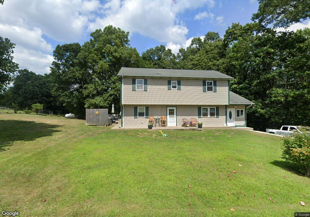
949 Tope Rd New Cumberland, WV 26047
Estimated Value: $204,000 - $318,952
5
Beds
3
Baths
2,084
Sq Ft
$133/Sq Ft
Est. Value
About This Home
This home is located at 949 Tope Rd, New Cumberland, WV 26047 and is currently estimated at $276,238, approximately $132 per square foot. 949 Tope Rd is a home located in Hancock County.
Ownership History
Date
Name
Owned For
Owner Type
Purchase Details
Closed on
Mar 28, 2014
Sold by
Hurley Keith
Bought by
Kubiskey Jonathan L and Kubiskey Betty J
Current Estimated Value
Home Financials for this Owner
Home Financials are based on the most recent Mortgage that was taken out on this home.
Original Mortgage
$5,000
Outstanding Balance
$1,499
Interest Rate
4.27%
Mortgage Type
Credit Line Revolving
Estimated Equity
$274,739
Purchase Details
Closed on
May 21, 2010
Sold by
Hurley Properties Inc
Bought by
Kubiskey Jon and Kubiskey Betty
Create a Home Valuation Report for This Property
The Home Valuation Report is an in-depth analysis detailing your home's value as well as a comparison with similar homes in the area
Home Values in the Area
Average Home Value in this Area
Purchase History
| Date | Buyer | Sale Price | Title Company |
|---|---|---|---|
| Kubiskey Jonathan L | $134,900 | None Available | |
| Kubiskey Jon | $1,349 | None Available |
Source: Public Records
Mortgage History
| Date | Status | Borrower | Loan Amount |
|---|---|---|---|
| Open | Kubiskey Jonathan L | $5,000 |
Source: Public Records
Tax History Compared to Growth
Tax History
| Year | Tax Paid | Tax Assessment Tax Assessment Total Assessment is a certain percentage of the fair market value that is determined by local assessors to be the total taxable value of land and additions on the property. | Land | Improvement |
|---|---|---|---|---|
| 2024 | $1,313 | $100,140 | $10,800 | $89,340 |
| 2023 | $1,278 | $93,300 | $9,900 | $83,400 |
| 2022 | $1,221 | $94,080 | $9,600 | $84,480 |
| 2021 | $1,205 | $92,580 | $9,300 | $83,280 |
| 2020 | $1,141 | $87,960 | $9,000 | $78,960 |
| 2019 | $1,128 | $85,740 | $9,000 | $76,740 |
| 2018 | $1,096 | $82,920 | $8,400 | $74,520 |
| 2017 | $1,064 | $79,680 | $8,100 | $71,580 |
| 2016 | $1,122 | $84,120 | $8,100 | $76,020 |
| 2015 | $930 | $80,220 | $8,100 | $72,120 |
| 2014 | $930 | $75,660 | $7,800 | $67,860 |
Source: Public Records
Map
Nearby Homes
- 211 Gibson Ave
- 94 Kensington Dr
- 000 Florence Rd
- 139 Kit Dr
- 298 Chapman Rd
- 153 Lowes
- 125 Meadowood Dr
- 2463 Frankfort Rd
- TBD Wake Dr
- 0 Wake Dr
- 4878 Wylie Ridge Rd
- 98 Whispering Pines Ln
- 316 Noll Rd
- 93 Canfield Dr
- 0 Hardin Run Rd
- 1711 Hardins Run Rd
- 0 Holberts Run Rd
- 223 Nichol Rd
- 134 Kings Creek Rd
- TBD Anderson Ln