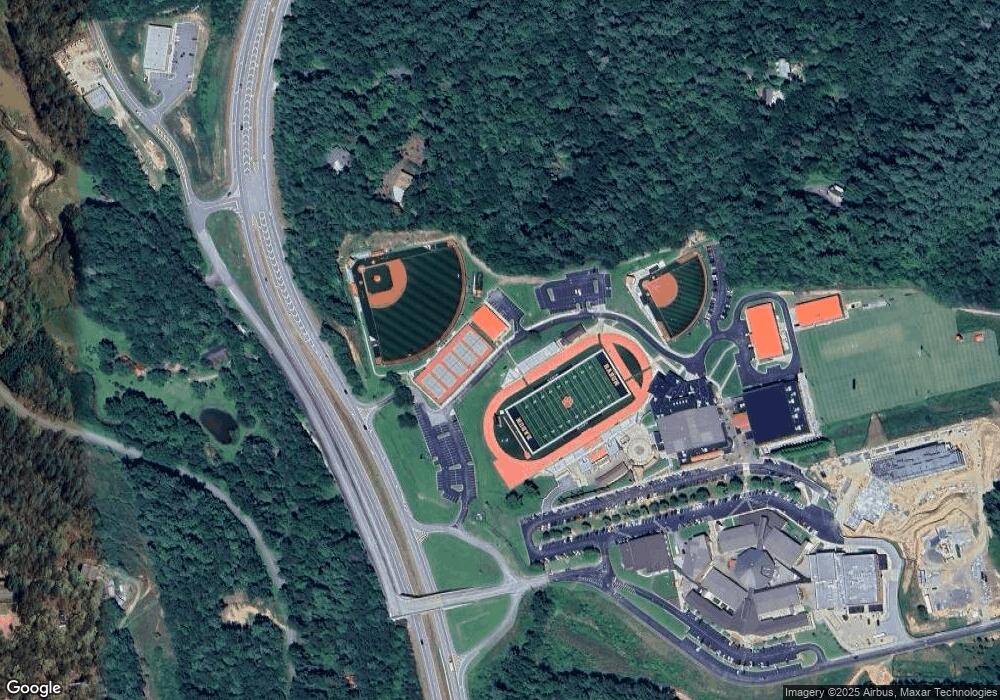
949 W Wildcat Rd Clayton, GA 30525
Estimated Value: $472,853 - $742,000
3
Beds
2
Baths
2,392
Sq Ft
$271/Sq Ft
Est. Value
About This Home
This home is located at 949 W Wildcat Rd, Clayton, GA 30525 and is currently estimated at $647,951, approximately $270 per square foot. 949 W Wildcat Rd is a home with nearby schools including Rabun County Primary School and Rabun County High School.
Ownership History
Date
Name
Owned For
Owner Type
Purchase Details
Closed on
Jun 1, 2018
Sold by
Cline Griffiths Carolyn Holt
Bought by
Catnip Ii Llc
Current Estimated Value
Purchase Details
Closed on
Nov 30, 2017
Sold by
Holt Freda
Bought by
Holt Frank B and Rathbun Heather Holt
Purchase Details
Closed on
May 4, 2015
Sold by
Holt Kathleen Ann
Bought by
Holt Kathleen Ann and Of Kathleen Ann Holt
Purchase Details
Closed on
Dec 1, 1980
Bought by
Holt Carolyn Cline Etal
Purchase Details
Closed on
Apr 1, 1967
Create a Home Valuation Report for This Property
The Home Valuation Report is an in-depth analysis detailing your home's value as well as a comparison with similar homes in the area
Home Values in the Area
Average Home Value in this Area
Purchase History
| Date | Buyer | Sale Price | Title Company |
|---|---|---|---|
| Catnip Ii Llc | -- | -- | |
| Catnip Ii Llc | -- | -- | |
| Holt Frank B | -- | -- | |
| Holt Frank B | -- | -- | |
| Holt Freda | -- | -- | |
| Holt Freda | -- | -- | |
| Holt Kathleen Ann | -- | -- | |
| Holt Kathleen Ann | -- | -- | |
| Holt Carolyn Cline Etal | -- | -- | |
| Holt Carolyn Cline Etal | -- | -- | |
| -- | -- | -- | |
| -- | -- | -- |
Source: Public Records
Tax History Compared to Growth
Tax History
| Year | Tax Paid | Tax Assessment Tax Assessment Total Assessment is a certain percentage of the fair market value that is determined by local assessors to be the total taxable value of land and additions on the property. | Land | Improvement |
|---|---|---|---|---|
| 2025 | $1,685 | $104,974 | $24,144 | $80,830 |
| 2024 | $1,604 | $99,951 | $24,144 | $75,807 |
| 2023 | $1,629 | $88,979 | $21,949 | $67,030 |
| 2022 | $1,579 | $86,263 | $21,949 | $64,314 |
| 2021 | $1,458 | $77,768 | $21,949 | $55,819 |
| 2020 | $1,411 | $72,725 | $21,949 | $50,776 |
| 2019 | $1,421 | $72,725 | $21,949 | $50,776 |
| 2018 | $1,262 | $64,360 | $21,949 | $42,411 |
| 2017 | $1,210 | $64,360 | $21,949 | $42,411 |
| 2016 | $1,213 | $64,360 | $21,949 | $42,411 |
| 2015 | $1,308 | $67,921 | $22,032 | $45,889 |
| 2014 | -- | $67,921 | $22,032 | $45,889 |
Source: Public Records
Map
Nearby Homes
- 605 Wildcat Rd
- 117 Ivy Ridge Way
- 0 Ivy Ridge Unit 10528111
- 90 Cove View Ln
- 130 Cove View Ln
- 132 Summit Ridge Dr
- 112 Springhill Ln
- 1242 Moccasin Creek Rd Unit L
- 263 Seabrook Ln
- 1349 Dicks Creek Rd
- 3590 Goshen Creek Rd
- 207 Raindance Ln
- 234 Raindance Ln
- 0 Benfield Ln Unit 10655737
- 0 Hwy 197 Unit 10608906
- 4960 Laurel Lodge Rd Unit LOT 44
- 4960 Laurel Lodge Rd Unit 1
- 4960 Laurel Lodge Rd Unit 46
- 4960 Laurel Lodge Rd Unit LOT 29
- 4960 Laurel Lodge Rd Unit LOT 3
- 999 W Wildcat Rd
- 88 Arrowhead Ln
- 162 Arrowhead Ln
- 208 Arrowhead Ln
- 419 W Wildcat Rd
- LOT 20 Sail View Dr
- LOT 21 Sail View Dr Unit 21
- 14A Verner Kastner Ln
- 13A Verner Kastner Ln
- 6 Ivy Ridge Way
- 35 Ivy Ridge Way
- 41 Ivy Ridge Way
- 50 Ivy Ridge Way
- 317 Summit Ridge
- LOT 40 Ivy Ridge Way
- 200 Ivy Ridge Way
- LOT 50 Ivy Ridge Way
- LOT 6 Ivy Ridge Way
- 0 Sail View Dr Unit 20083985
- 0 Ivy Ridge Unit LOT 48 10164375
