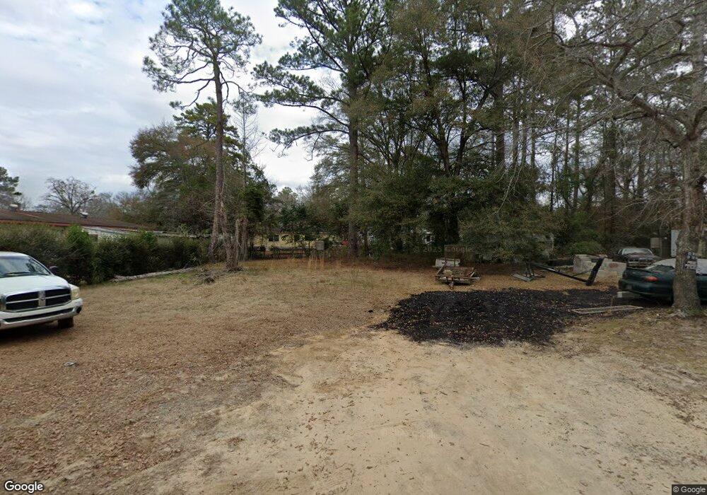
949 Westside Dr Americus, GA 31719
Estimated Value: $87,568 - $98,000
3
Beds
2
Baths
910
Sq Ft
$100/Sq Ft
Est. Value
About This Home
This home is located at 949 Westside Dr, Americus, GA 31719 and is currently estimated at $90,892, approximately $99 per square foot. 949 Westside Dr is a home with nearby schools including Sumter County Primary School, Sumter County Elementary School, and Sumter County Middle School.
Ownership History
Date
Name
Owned For
Owner Type
Purchase Details
Closed on
Sep 5, 2023
Sold by
Thomas Paul
Bought by
Harvard Nehemiah Trust
Current Estimated Value
Purchase Details
Closed on
Nov 3, 1998
Sold by
Moses James L
Bought by
Thomas Paul
Purchase Details
Closed on
Mar 18, 1994
Bought by
Moses James L
Purchase Details
Closed on
Dec 31, 1984
Bought by
Shelter Dev Inc
Create a Home Valuation Report for This Property
The Home Valuation Report is an in-depth analysis detailing your home's value as well as a comparison with similar homes in the area
Home Values in the Area
Average Home Value in this Area
Purchase History
| Date | Buyer | Sale Price | Title Company |
|---|---|---|---|
| Harvard Nehemiah Trust | $950 | -- | |
| Thomas Paul | $3,000 | -- | |
| Moses James L | -- | -- | |
| Shelter Dev Inc | -- | -- |
Source: Public Records
Tax History Compared to Growth
Tax History
| Year | Tax Paid | Tax Assessment Tax Assessment Total Assessment is a certain percentage of the fair market value that is determined by local assessors to be the total taxable value of land and additions on the property. | Land | Improvement |
|---|---|---|---|---|
| 2024 | $99 | $2,200 | $2,000 | $200 |
| 2023 | $97 | $2,200 | $2,000 | $200 |
| 2022 | $66 | $2,200 | $2,000 | $200 |
| 2021 | $97 | $2,200 | $2,000 | $200 |
| 2020 | $118 | $2,200 | $2,000 | $200 |
| 2019 | $105 | $2,200 | $2,000 | $200 |
| 2018 | $69 | $2,200 | $2,000 | $200 |
| 2017 | $105 | $3,352 | $2,000 | $1,352 |
| 2016 | $148 | $3,352 | $2,000 | $1,352 |
| 2015 | $106 | $3,468 | $2,000 | $1,468 |
| 2014 | $106 | $3,468 | $2,000 | $1,468 |
| 2013 | -- | $3,468 | $2,000 | $1,468 |
Source: Public Records
Map
Nearby Homes
- 0 Highway 30 Unit 25006222
- 205 U S 19
- 000 U S Highway 19
- 805 Davenport St
- TBD New Bending Rd
- 213 Mitchell St
- 406 S Hampton St
- 0 Beale St
- 604 A-C Ga Hwy 49s
- Lots 5 6 13 14 Hwy 49n
- 122 Academy St
- 513 Winn St
- 302 W College St
- 501 S Lee St
- 333 Academy St
- 624 Harrold Ave
- 525 Ashby St
- 704 Harrold Ave
- 229 Bell St
- 211 Horne St
- 228 Brookdale Dr
- 948 Westside Dr
- 944 Westside Dr
- 1001 Westside Dr
- 226 Brookdale Dr
- 942 Westside Dr
- 1003 Westside Dr
- 224 Brookdale Dr
- 232 Brookdale Dr
- 225 Brookdale Dr
- 1006 Westside Dr
- 234 Brookdale Dr
- 222 Brookdale Dr
- 235 Brookdale Dr
- 1007 Westside Dr
- 223 Brookdale Dr
- 236 Brookdale Dr
- 220 Brookdale Dr
- 241 Brookdale Dr
- 1009 Westside Dr