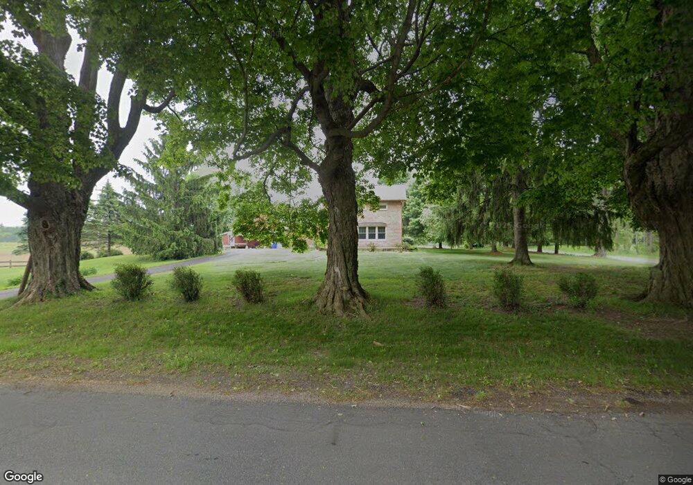
9491 2nd St Mattawan, MI 49071
Estimated Value: $373,496 - $479,000
Studio
1
Bath
1,752
Sq Ft
$245/Sq Ft
Est. Value
About This Home
This home is located at 9491 2nd St, Mattawan, MI 49071 and is currently estimated at $429,874, approximately $245 per square foot. 9491 2nd St is a home located in Kalamazoo County with nearby schools including Mattawan Early Elementary School, Mattawan Later Elementary School, and Mattawan Early Childhood Education Center.
Ownership History
Date
Name
Owned For
Owner Type
Purchase Details
Closed on
Jul 19, 2016
Sold by
Foss Dennis L and Foss Lora M
Bought by
Foss Dennis L and Foss Lora M
Current Estimated Value
Purchase Details
Closed on
Jul 15, 2003
Sold by
Dugdale Kathleen Ann and Storms Carrie Dell
Bought by
Foss Dennis L and Foss Lora M
Create a Home Valuation Report for This Property
The Home Valuation Report is an in-depth analysis detailing your home's value as well as a comparison with similar homes in the area
Home Values in the Area
Average Home Value in this Area
Purchase History
| Date | Buyer | Sale Price | Title Company |
|---|---|---|---|
| Foss Dennis L | -- | Attorney | |
| Foss Dennis L | $189,900 | Metro |
Source: Public Records
Tax History
| Year | Tax Paid | Tax Assessment Tax Assessment Total Assessment is a certain percentage of the fair market value that is determined by local assessors to be the total taxable value of land and additions on the property. | Land | Improvement |
|---|---|---|---|---|
| 2025 | $1,272 | $164,500 | $0 | $0 |
| 2024 | $1,235 | $141,900 | $0 | $0 |
| 2023 | $1,178 | $127,800 | $0 | $0 |
| 2022 | $3,568 | $117,700 | $0 | $0 |
| 2021 | $3,468 | $111,500 | $0 | $0 |
| 2020 | $3,358 | $111,700 | $0 | $0 |
| 2019 | $3,042 | $107,700 | $0 | $0 |
| 2018 | $2,062 | $99,400 | $0 | $0 |
| 2017 | -- | $100,600 | $0 | $0 |
| 2016 | -- | $100,600 | $0 | $0 |
| 2015 | -- | $95,800 | $25,400 | $70,400 |
| 2014 | -- | $95,800 | $0 | $0 |
Source: Public Records
Map
Nearby Homes
- 9980 S 2nd St
- 9669 W S Ave
- 8605 Brighten Trail
- 8532 Brighten Trail
- 9116 S 6th St
- 8459 Grapevine Cir
- 8399 Parkstone Terrace Unit Terr.
- 69434 22nd St
- 8272 Bainbridge Dr
- 8197 Turning Stone
- 8368 W Q Ave
- 8114 Turning Stone
- 8244 W Q Ave
- 8863 W Pq Ave
- 7917 Turning Stone
- 7876 Turning Stone
- 8077 W Q Ave
- 7651 W S Ave
- 10449 W Tu Ave
- 7900 W Q Ave
Your Personal Tour Guide
Ask me questions while you tour the home.