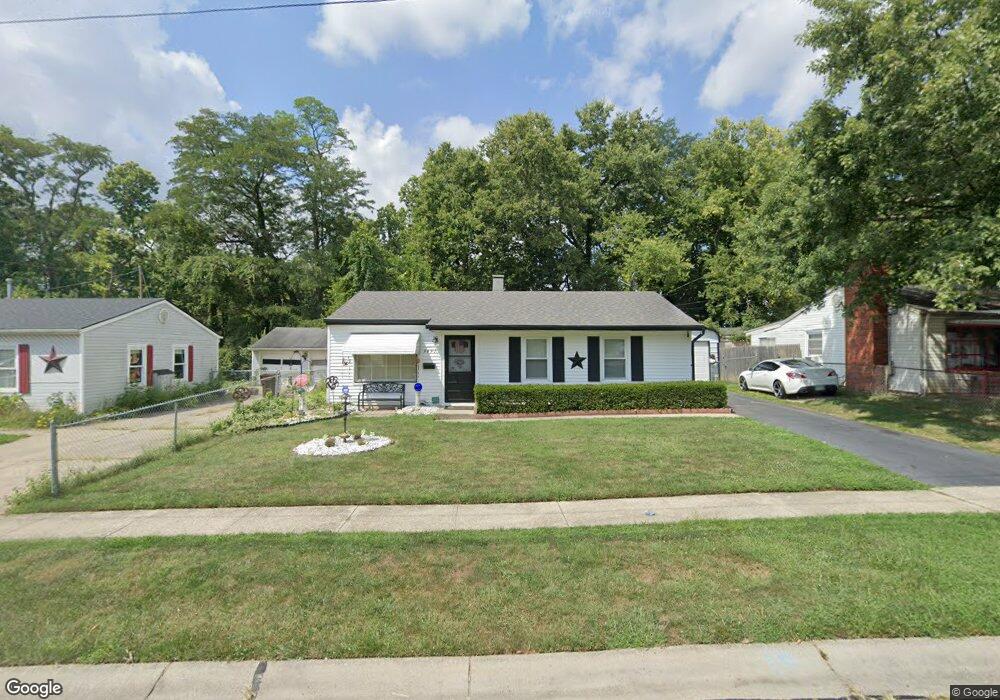
9491 Loralinda Dr Cincinnati, OH 45251
Estimated Value: $157,032 - $168,000
3
Beds
1
Bath
864
Sq Ft
$188/Sq Ft
Est. Value
About This Home
This home is located at 9491 Loralinda Dr, Cincinnati, OH 45251 and is currently estimated at $162,758, approximately $188 per square foot. 9491 Loralinda Dr is a home located in Hamilton County with nearby schools including Taylor Elementary School, Colerain Elementary School, and Colerain Middle School.
Ownership History
Date
Name
Owned For
Owner Type
Purchase Details
Closed on
Jun 29, 2004
Sold by
Jones Betty Laverne
Bought by
Walker Ronald D and Walker Joann
Current Estimated Value
Home Financials for this Owner
Home Financials are based on the most recent Mortgage that was taken out on this home.
Original Mortgage
$84,179
Interest Rate
6.37%
Mortgage Type
FHA
Create a Home Valuation Report for This Property
The Home Valuation Report is an in-depth analysis detailing your home's value as well as a comparison with similar homes in the area
Home Values in the Area
Average Home Value in this Area
Purchase History
| Date | Buyer | Sale Price | Title Company |
|---|---|---|---|
| Walker Ronald D | $85,500 | The Main Title Agency |
Source: Public Records
Mortgage History
| Date | Status | Borrower | Loan Amount |
|---|---|---|---|
| Closed | Walker Ronald D | $84,179 |
Source: Public Records
Tax History Compared to Growth
Tax History
| Year | Tax Paid | Tax Assessment Tax Assessment Total Assessment is a certain percentage of the fair market value that is determined by local assessors to be the total taxable value of land and additions on the property. | Land | Improvement |
|---|---|---|---|---|
| 2024 | $1,997 | $37,062 | $8,862 | $28,200 |
| 2023 | $2,005 | $37,062 | $8,862 | $28,200 |
| 2022 | $1,623 | $24,434 | $7,812 | $16,622 |
| 2021 | $1,612 | $24,434 | $7,812 | $16,622 |
| 2020 | $1,626 | $24,434 | $7,812 | $16,622 |
| 2019 | $1,409 | $17,150 | $6,300 | $10,850 |
| 2018 | $1,098 | $17,150 | $6,300 | $10,850 |
| 2017 | $1,040 | $17,150 | $6,300 | $10,850 |
| 2016 | $1,037 | $16,874 | $6,360 | $10,514 |
| 2015 | $1,047 | $16,874 | $6,360 | $10,514 |
| 2014 | $1,049 | $16,874 | $6,360 | $10,514 |
| 2013 | $1,051 | $17,763 | $6,696 | $11,067 |
Source: Public Records
Map
Nearby Homes
- 9433 Willowgate Dr Unit 9433
- 3151 Birchway Dr Unit 3151
- 9717 Loralinda Dr
- 9302 Loralinda Dr
- 3258 Lillwood Ln
- 9446 Haddington Ct
- 3246 Ainsworth Dr
- 3275 Deshler Dr
- 9558 Woodstate Dr Unit 13E
- 3205 Donnybrook Ln
- 3276 Deshler Dr
- 9568 Woodstate Dr
- 3364 Amberway Ct Unit 45
- 2908 Libra Ln
- 3464 Sunbury Ln
- 9562 Trafalgar Ct
- 9828 Loralinda Dr
- 3351 Deshler Dr
- 9738 Gibralter Dr
- 3374 Deshler Dr
- 9483 Loralinda Dr
- 9501 Loralinda Dr
- 9471 Loralinda Dr
- 9513 Loralinda Dr
- 9490 Loralinda Dr
- 9525 Loralinda Dr
- 9461 Loralinda Dr
- 9510 Loralinda Dr
- 9466 Loralinda Dr
- 3187 Hyannis Dr
- 3203 Laverne Dr
- 9449 Loralinda Dr
- 3186 Hyannis Dr
- 3182 Glenaire Dr
- 9540 Loralinda Dr
- 3175 Hyannis Dr
- 3211 Heritage Square Dr
- 3211 Heritage Square Dr
- 3211 Heritage Square Dr Unit 1
- 3216 Heritage Square Dr Unit 16