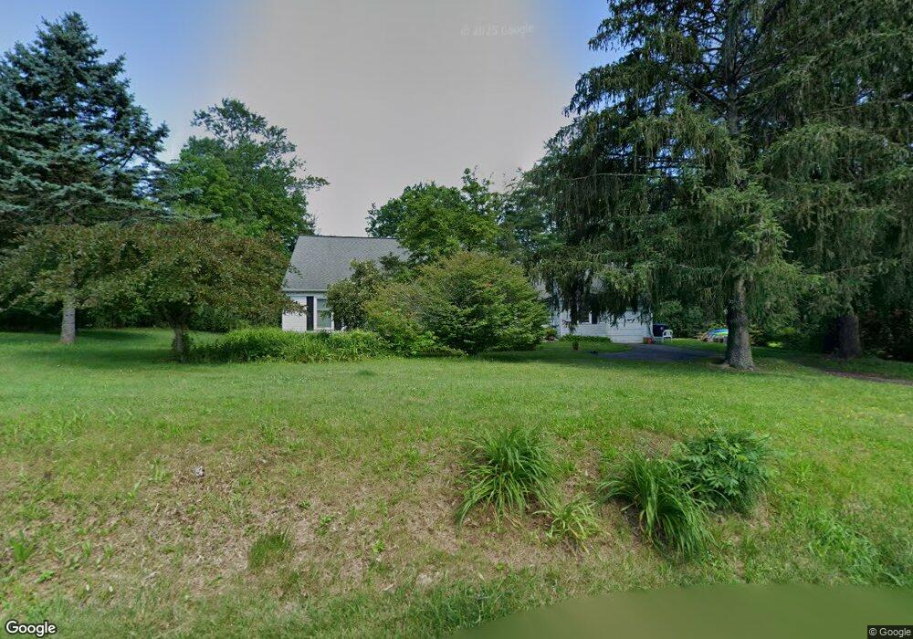
95 Aarons Ave Doylestown, PA 18901
Estimated Value: $620,452 - $708,000
4
Beds
2
Baths
2,386
Sq Ft
$274/Sq Ft
Est. Value
About This Home
This home is located at 95 Aarons Ave, Doylestown, PA 18901 and is currently estimated at $653,863, approximately $274 per square foot. 95 Aarons Ave is a home located in Bucks County with nearby schools including Simon Butler Elementary, Unami Middle School, and Central Bucks High School - South.
Ownership History
Date
Name
Owned For
Owner Type
Purchase Details
Closed on
Dec 8, 2008
Sold by
Fielding Mark A and Fielding Jeannine R
Bought by
Supon Jason S
Current Estimated Value
Home Financials for this Owner
Home Financials are based on the most recent Mortgage that was taken out on this home.
Original Mortgage
$358,058
Outstanding Balance
$236,007
Interest Rate
6.08%
Mortgage Type
FHA
Estimated Equity
$417,856
Purchase Details
Closed on
Aug 15, 2000
Sold by
Woodrow F Scott and Woodrow Joan E
Bought by
Fielding Mark A and Fielding Jeannine R
Home Financials for this Owner
Home Financials are based on the most recent Mortgage that was taken out on this home.
Original Mortgage
$168,000
Interest Rate
8.16%
Create a Home Valuation Report for This Property
The Home Valuation Report is an in-depth analysis detailing your home's value as well as a comparison with similar homes in the area
Home Values in the Area
Average Home Value in this Area
Purchase History
| Date | Buyer | Sale Price | Title Company |
|---|---|---|---|
| Supon Jason S | $360,000 | None Available | |
| Fielding Mark A | $240,000 | -- |
Source: Public Records
Mortgage History
| Date | Status | Borrower | Loan Amount |
|---|---|---|---|
| Open | Supon Jason S | $358,058 | |
| Previous Owner | Fielding Mark A | $168,000 |
Source: Public Records
Tax History
| Year | Tax Paid | Tax Assessment Tax Assessment Total Assessment is a certain percentage of the fair market value that is determined by local assessors to be the total taxable value of land and additions on the property. | Land | Improvement |
|---|---|---|---|---|
| 2025 | $6,806 | $33,800 | $6,450 | $27,350 |
| 2024 | $6,806 | $33,800 | $6,450 | $27,350 |
| 2023 | $6,332 | $33,800 | $6,450 | $27,350 |
| 2022 | $6,195 | $33,800 | $6,450 | $27,350 |
| 2021 | $6,081 | $33,800 | $6,450 | $27,350 |
| 2020 | $6,081 | $33,800 | $6,450 | $27,350 |
| 2019 | $5,946 | $33,800 | $6,450 | $27,350 |
| 2018 | $5,946 | $33,800 | $6,450 | $27,350 |
| 2017 | $5,904 | $33,800 | $6,450 | $27,350 |
| 2016 | $5,904 | $33,800 | $6,450 | $27,350 |
| 2015 | -- | $33,800 | $6,450 | $27,350 |
| 2014 | -- | $33,800 | $6,450 | $27,350 |
Source: Public Records
Map
Nearby Homes
- 10 W Butler Ave
- 8 E Butler Ave
- 204 Woodland Dr
- 11 W Butler Ave
- Lot 9 Butler
- 94 Sioux Rd
- 77 Lenape Dr
- 120 Beulah Rd
- 240 Green Valley Way
- 349 W Butler Ave
- 106 S Shady Retreat Rd
- 130 Jameson Way Unit 12 WARWICK END
- 128 Jameson Way Unit 11 WARWICK INTERIOR
- 124 Jameson Way Unit 9 WARWICK INTERIOR
- 126 Jameson Way Unit 10 WARWICK INTERIOR
- 122 Jameson Way Unit 8 STRATFORD INTERIOR
- 120 Jameson Way Unit 7 WARWICK END
- 12 Carousel Cir
- 0001 Jameson Way Unit BASE WARWICK INT
- 0002 Jameson Way Unit BASE STRATFORD INT
Your Personal Tour Guide
Ask me questions while you tour the home.