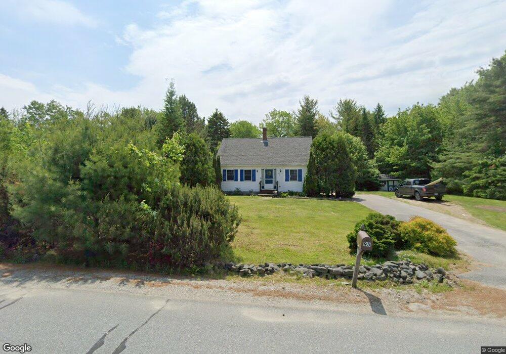
95 Altons Ave Ellsworth, ME 04605
Estimated Value: $307,928 - $404,000
3
Beds
1
Bath
1,152
Sq Ft
$306/Sq Ft
Est. Value
About This Home
This home is located at 95 Altons Ave, Ellsworth, ME 04605 and is currently estimated at $352,232, approximately $305 per square foot. 95 Altons Ave is a home located in Hancock County with nearby schools including Sumner Memorial High School.
Ownership History
Date
Name
Owned For
Owner Type
Purchase Details
Closed on
Nov 8, 2021
Sold by
Kbs Investments Llc
Bought by
Randall Spencer and Randall Nicole
Current Estimated Value
Home Financials for this Owner
Home Financials are based on the most recent Mortgage that was taken out on this home.
Original Mortgage
$193,200
Outstanding Balance
$176,762
Interest Rate
2.88%
Mortgage Type
Purchase Money Mortgage
Estimated Equity
$175,470
Create a Home Valuation Report for This Property
The Home Valuation Report is an in-depth analysis detailing your home's value as well as a comparison with similar homes in the area
Home Values in the Area
Average Home Value in this Area
Purchase History
| Date | Buyer | Sale Price | Title Company |
|---|---|---|---|
| Randall Spencer | -- | None Available |
Source: Public Records
Mortgage History
| Date | Status | Borrower | Loan Amount |
|---|---|---|---|
| Open | Randall Spencer | $193,200 |
Source: Public Records
Tax History Compared to Growth
Tax History
| Year | Tax Paid | Tax Assessment Tax Assessment Total Assessment is a certain percentage of the fair market value that is determined by local assessors to be the total taxable value of land and additions on the property. | Land | Improvement |
|---|---|---|---|---|
| 2024 | $3,518 | $201,600 | $32,520 | $169,080 |
| 2023 | $3,139 | $181,470 | $31,165 | $150,305 |
| 2022 | $2,849 | $181,470 | $31,165 | $150,305 |
| 2021 | $2,640 | $146,400 | $27,100 | $119,300 |
| 2020 | $2,727 | $145,300 | $27,100 | $118,200 |
| 2019 | $2,733 | $145,300 | $27,100 | $118,200 |
| 2018 | $2,650 | $145,300 | $27,100 | $118,200 |
| 2017 | $2,591 | $144,200 | $27,100 | $117,100 |
| 2016 | $2,549 | $144,200 | $27,100 | $117,100 |
| 2015 | $2,552 | $144,200 | $27,100 | $117,100 |
| 2014 | $2,372 | $144,200 | $27,100 | $117,100 |
| 2012 | $2,228 | $144,200 | $27,100 | $117,100 |
Source: Public Records
Map
Nearby Homes
- 32 Alton Ave
- 561 Bayside Rd
- 74 Spindle Rd
- 0 Bayside Road Spring Lot 1
- 0
- 0 Bayside Road Spring Lot 3
- 178 Pioneer Farm Way
- 052 Pioneer Farm Way
- 1002 Bayside Rd
- 0 High St
- 0 Beechland Rd
- 12 Windsor Way
- 105 Windsor Way
- 318 High St
- 200 Surry Rd
- 195 Surry Rd
- 41 Tinker Meadow Way Unit 17
- 42 Tinker Meadow Way Unit 38
- 43 Tinker Meadow Way Unit 19
- 44 Tinker Meadow Way Unit 40