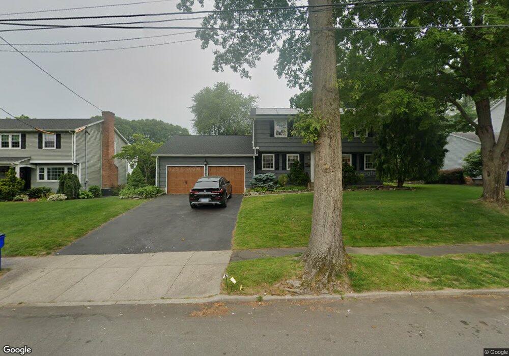
95 Barton Rd Fairfield, CT 06824
University NeighborhoodEstimated Value: $849,000 - $1,166,000
4
Beds
3
Baths
2,012
Sq Ft
$514/Sq Ft
Est. Value
About This Home
This home is located at 95 Barton Rd, Fairfield, CT 06824 and is currently estimated at $1,034,328, approximately $514 per square foot. 95 Barton Rd is a home located in Fairfield County with nearby schools including Osborn Hill Elementary School, Fairfield Woods Middle School, and Fairfield Ludlowe High School.
Ownership History
Date
Name
Owned For
Owner Type
Purchase Details
Closed on
Apr 25, 2011
Sold by
Spencer Brenna M
Bought by
Spencer Robert B
Current Estimated Value
Purchase Details
Closed on
Jul 6, 1998
Sold by
Sheehan Edward E and Sheehan Carla G
Bought by
Spencer Robert B and Spencer Beenna M
Purchase Details
Closed on
Jun 28, 1991
Sold by
Jacobs Lawrence W and Jacobs Allyson W
Bought by
Sheehan Edward E and Sheehan Carla G
Create a Home Valuation Report for This Property
The Home Valuation Report is an in-depth analysis detailing your home's value as well as a comparison with similar homes in the area
Home Values in the Area
Average Home Value in this Area
Purchase History
| Date | Buyer | Sale Price | Title Company |
|---|---|---|---|
| Spencer Robert B | -- | -- | |
| Spencer Robert B | -- | -- | |
| Spencer Robert B | $384,000 | -- | |
| Spencer Robert B | $384,000 | -- | |
| Sheehan Edward E | $295,000 | -- |
Source: Public Records
Mortgage History
| Date | Status | Borrower | Loan Amount |
|---|---|---|---|
| Previous Owner | Sheehan Edward E | $487,500 | |
| Previous Owner | Sheehan Edward E | $409,000 | |
| Previous Owner | Sheehan Edward E | $405,000 |
Source: Public Records
Tax History
| Year | Tax Paid | Tax Assessment Tax Assessment Total Assessment is a certain percentage of the fair market value that is determined by local assessors to be the total taxable value of land and additions on the property. | Land | Improvement |
|---|---|---|---|---|
| 2025 | $11,417 | $402,150 | $236,180 | $165,970 |
| 2024 | $11,220 | $402,150 | $236,180 | $165,970 |
| 2023 | $11,063 | $402,150 | $236,180 | $165,970 |
| 2022 | $10,955 | $402,150 | $236,180 | $165,970 |
| 2021 | $10,850 | $402,150 | $236,180 | $165,970 |
| 2020 | $11,272 | $420,770 | $232,750 | $188,020 |
| 2019 | $11,272 | $420,770 | $232,750 | $188,020 |
| 2018 | $11,091 | $420,770 | $232,750 | $188,020 |
| 2017 | $10,864 | $420,770 | $232,750 | $188,020 |
| 2016 | $10,709 | $420,770 | $232,750 | $188,020 |
| 2015 | $10,289 | $415,030 | $257,250 | $157,780 |
| 2014 | $10,127 | $415,030 | $257,250 | $157,780 |
Source: Public Records
Map
Nearby Homes
- 15 Barton Rd
- 1478 Jennings Rd
- 341 Crestwood Rd
- 274 High St
- 68 Figlar Ave
- 20 Ermine St
- 378 High St
- 109 Jeniford Rd
- 12 Reynolds Dr
- 240 Sunnyridge Ave Unit 63
- 3250 Fairfield Ave Unit 302
- 42 Robin Cir
- 196 Robin Ln
- 98 Cambridge St
- 65 Benton St
- 652 Black Rock Turnpike
- 105 Charter Oak Rd
- 361 Riverside Dr
- 165 Bennett St
- 250 Szost Dr
Your Personal Tour Guide
Ask me questions while you tour the home.