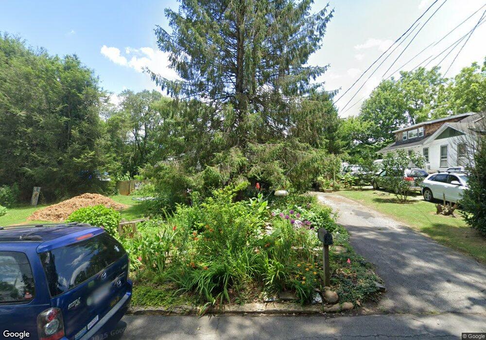
95 Blue Ridge Ave Asheville, NC 28806
West Asheville NeighborhoodEstimated Value: $427,779 - $490,000
3
Beds
2
Baths
1,000
Sq Ft
$471/Sq Ft
Est. Value
About This Home
This home is located at 95 Blue Ridge Ave, Asheville, NC 28806 and is currently estimated at $470,695, approximately $470 per square foot. 95 Blue Ridge Ave is a home located in Buncombe County with nearby schools including Hall Fletcher Elementary, Isaac Dickson Elementary, and Ira B Jones Elementary.
Ownership History
Date
Name
Owned For
Owner Type
Purchase Details
Closed on
Feb 5, 2008
Sold by
Davis William Richard and Wells Sarah A
Bought by
Hersey Paul and Murphy Jennifer
Current Estimated Value
Home Financials for this Owner
Home Financials are based on the most recent Mortgage that was taken out on this home.
Original Mortgage
$160,000
Outstanding Balance
$101,503
Interest Rate
6.17%
Mortgage Type
Unknown
Estimated Equity
$369,192
Create a Home Valuation Report for This Property
The Home Valuation Report is an in-depth analysis detailing your home's value as well as a comparison with similar homes in the area
Home Values in the Area
Average Home Value in this Area
Purchase History
| Date | Buyer | Sale Price | Title Company |
|---|---|---|---|
| Hersey Paul | $230,000 | None Available |
Source: Public Records
Mortgage History
| Date | Status | Borrower | Loan Amount |
|---|---|---|---|
| Open | Hersey Paul | $160,000 |
Source: Public Records
Tax History Compared to Growth
Tax History
| Year | Tax Paid | Tax Assessment Tax Assessment Total Assessment is a certain percentage of the fair market value that is determined by local assessors to be the total taxable value of land and additions on the property. | Land | Improvement |
|---|---|---|---|---|
| 2025 | $2,714 | $262,700 | $117,800 | $144,900 |
| 2024 | $2,714 | $262,700 | $117,800 | $144,900 |
| 2023 | $2,714 | $262,700 | $117,800 | $144,900 |
| 2022 | $2,620 | $262,700 | $0 | $0 |
| 2021 | $2,620 | $262,700 | $0 | $0 |
| 2020 | $2,351 | $218,100 | $0 | $0 |
| 2019 | $2,351 | $218,100 | $0 | $0 |
| 2018 | $2,351 | $218,100 | $0 | $0 |
| 2017 | $2,373 | $143,800 | $0 | $0 |
| 2016 | $1,767 | $143,800 | $0 | $0 |
| 2015 | $1,767 | $143,800 | $0 | $0 |
| 2014 | $1,746 | $143,800 | $0 | $0 |
Source: Public Records
Map
Nearby Homes
- 0000 New Leicester Hwy
- 5 Orrinel Way
- 23 Laurel Loop
- 20 Cloyes St
- 27 Mauricet Ln
- 31 Oakwood St
- 99999 Haywood Rd
- 7 Mauricet Ln
- 141 Louisiana Ave
- 55 Herron Ave
- 33 Wilshire Dr
- 30 Sand Hill Rd
- 18 Sand Hill Rd
- 155 Sulphur Springs Rd
- 197 Brucemont Cir
- 110 Providence Rd
- 32 Harnett St
- 74 Brucemont Cir
- 27 Ormond Ave
- 379 N Louisiana Ave
- 105 Blue Ridge Ave
- 87 Blue Ridge Ave
- 34 Pinellas Ave
- 36 Pinellas Ave
- 20 Pinellas Ave
- 83 Blue Ridge Ave
- 38 Pinellas Ave
- 96 Blue Ridge Ave
- 107 Blue Ridge Ave
- 18 Pinellas Ave
- 98 Blue Ridge Ave
- 100 Blue Ridge Ave
- 50 Pinellas Ave
- 77 Blue Ridge Ave
- 86 Blue Ridge Ave
- 12 Pinellas Ave
- 54 Pinellas Ave
- 110 Blue Ridge Ave
- 3 Tarpon Ave
- 82 Blue Ridge Ave