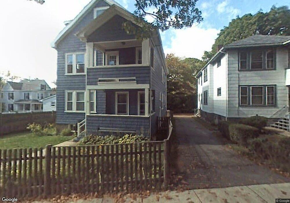
95 Bourne St Unit 97 Jamaica Plain, MA 02130
Jamaica Plain NeighborhoodEstimated Value: $934,000 - $1,405,000
6
Beds
3
Baths
3,195
Sq Ft
$381/Sq Ft
Est. Value
About This Home
This home is located at 95 Bourne St Unit 97, Jamaica Plain, MA 02130 and is currently estimated at $1,216,629, approximately $380 per square foot. 95 Bourne St Unit 97 is a home located in Suffolk County with nearby schools including Brooke Charter School Roslindale, The Croft School - Jamaica Plain, and St. Clare High School.
Ownership History
Date
Name
Owned For
Owner Type
Purchase Details
Closed on
Apr 1, 2024
Sold by
Sabin Sharon H and Szabo Daniel P
Bought by
Sabin-Szabo 2024 Ft and Sabin
Current Estimated Value
Purchase Details
Closed on
Jun 18, 1997
Sold by
Heffernan Daniel T and Heffernan Julia S
Bought by
Szabo Daniel P and Sabin Sharon J
Purchase Details
Closed on
Oct 18, 1989
Sold by
Berg Charles H
Bought by
Heffernan Daniel T
Create a Home Valuation Report for This Property
The Home Valuation Report is an in-depth analysis detailing your home's value as well as a comparison with similar homes in the area
Home Values in the Area
Average Home Value in this Area
Purchase History
| Date | Buyer | Sale Price | Title Company |
|---|---|---|---|
| Sabin-Szabo 2024 Ft | -- | None Available | |
| Szabo Daniel P | $215,000 | -- | |
| Heffernan Daniel T | $227,000 | -- |
Source: Public Records
Mortgage History
| Date | Status | Borrower | Loan Amount |
|---|---|---|---|
| Previous Owner | Heffernan Daniel T | $370,000 | |
| Previous Owner | Heffernan Daniel T | $25,000 |
Source: Public Records
Tax History Compared to Growth
Tax History
| Year | Tax Paid | Tax Assessment Tax Assessment Total Assessment is a certain percentage of the fair market value that is determined by local assessors to be the total taxable value of land and additions on the property. | Land | Improvement |
|---|---|---|---|---|
| 2025 | $12,118 | $1,046,500 | $259,000 | $787,500 |
| 2024 | $11,587 | $1,063,000 | $236,900 | $826,100 |
| 2023 | $10,873 | $1,012,400 | $225,600 | $786,800 |
| 2022 | $10,486 | $963,800 | $214,800 | $749,000 |
| 2021 | $9,984 | $935,700 | $208,500 | $727,200 |
| 2020 | $8,219 | $778,300 | $212,700 | $565,600 |
| 2019 | $7,804 | $740,400 | $170,200 | $570,200 |
| 2018 | $7,117 | $679,100 | $170,200 | $508,900 |
| 2017 | $7,049 | $665,600 | $170,200 | $495,400 |
| 2016 | $6,479 | $589,000 | $170,200 | $418,800 |
| 2015 | $6,482 | $535,300 | $179,500 | $355,800 |
| 2014 | $5,827 | $463,200 | $179,500 | $283,700 |
Source: Public Records
Map
Nearby Homes
- 98 Bourne St
- 98-100 Bourne St Unit 100
- 11 Goodway Rd Unit 2
- 37 Halliday St
- 24 Waterman Rd
- 46 Southbourne Rd
- 12 Wyvern St Unit 2
- 35 Eldridge Rd Unit 209
- 375 Hyde Park Ave Unit 3
- 391 Hyde Park Ave Unit 112
- 5 Eldridge Rd Unit 3
- 602 Canterbury St Unit 1
- 602 Canterbury St Unit 4
- 602 Canterbury St Unit 5
- 602 Canterbury St Unit 12
- 602 Canterbury St Unit 7
- 602 Canterbury St Unit 8
- 602 Canterbury St Unit 2
- 34 Sammett Ave
- 31 Rodman St Unit 2
- 95-97 Bourne St Unit 1
- 95 Bourne St Unit 1
- 91 Bourne St Unit 93
- 91 Bourne St Unit 221
- 91 Bourne St Unit 91
- 91-93 Bourne St Unit 93
- 7 Wallace Park
- 3 Wallace Park
- 87-89 Bourne St
- 100 Bourne St
- 98-100 Bourne St Unit 98
- 29 Goodway Rd
- 4 Wallace Park
- 68 Wallace Park
- 8 Wallace Park
- 6 Wallace Park
- 102 Bourne St Unit 104
- 94 Bourne St
- 94 Bourne St Unit 1
- 94 Bourne St Unit 2