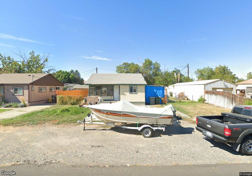
95 Casey Ave Richland, WA 99352
Estimated Value: $245,000 - $270,000
3
Beds
1
Bath
609
Sq Ft
$422/Sq Ft
Est. Value
About This Home
This home is located at 95 Casey Ave, Richland, WA 99352 and is currently estimated at $256,739, approximately $421 per square foot. 95 Casey Ave is a home located in Benton County with nearby schools including Lewis & Clark Elementary School, Carmichael Middle School, and Richland High School.
Ownership History
Date
Name
Owned For
Owner Type
Purchase Details
Closed on
Sep 28, 2020
Sold by
Thomas Brittany
Bought by
Thomas Mark G
Current Estimated Value
Home Financials for this Owner
Home Financials are based on the most recent Mortgage that was taken out on this home.
Original Mortgage
$164,900
Outstanding Balance
$146,670
Interest Rate
2.9%
Mortgage Type
New Conventional
Estimated Equity
$110,069
Purchase Details
Closed on
Dec 16, 2014
Sold by
Mason John S and Mason Patti L
Bought by
Jacks & Mason Llc
Create a Home Valuation Report for This Property
The Home Valuation Report is an in-depth analysis detailing your home's value as well as a comparison with similar homes in the area
Home Values in the Area
Average Home Value in this Area
Purchase History
| Date | Buyer | Sale Price | Title Company |
|---|---|---|---|
| Thomas Mark G | -- | First American Title Ins Co | |
| Thomas Mark C | $170,000 | First American Title Ins Co | |
| Jacks & Mason Llc | -- | None Available |
Source: Public Records
Mortgage History
| Date | Status | Borrower | Loan Amount |
|---|---|---|---|
| Open | Thomas Mark C | $164,900 |
Source: Public Records
Tax History Compared to Growth
Tax History
| Year | Tax Paid | Tax Assessment Tax Assessment Total Assessment is a certain percentage of the fair market value that is determined by local assessors to be the total taxable value of land and additions on the property. | Land | Improvement |
|---|---|---|---|---|
| 2024 | $1,892 | $220,050 | $50,000 | $170,050 |
| 2023 | $1,892 | $199,440 | $50,000 | $149,440 |
| 2022 | $1,711 | $189,130 | $50,000 | $139,130 |
| 2021 | $1,455 | $153,060 | $50,000 | $103,060 |
| 2020 | $1,236 | $124,750 | $50,000 | $74,750 |
| 2019 | $1,057 | $99,880 | $22,000 | $77,880 |
| 2018 | $1,042 | $91,820 | $22,000 | $69,820 |
| 2017 | $907 | $75,710 | $22,000 | $53,710 |
| 2016 | $894 | $75,710 | $22,000 | $53,710 |
| 2015 | $911 | $75,710 | $22,000 | $53,710 |
| 2014 | -- | $75,710 | $22,000 | $53,710 |
| 2013 | -- | $75,710 | $22,000 | $53,710 |
Source: Public Records
Map
Nearby Homes
- 600 Adams St
- 505 Adams St
- 502 Abbot St
- 1006 Adams St
- 213 Casey Ave
- 709 Comstock St
- 303 Bernard Ave
- 2377 Maggio Loop
- 312 Bernard Ave
- 1088 Makah Ct
- 901 Downing St
- 305 George Washington Way
- 202 Davenport St
- 417 Douglass Ave
- 504 Douglass Ave
- 1416 Agnes St
- 211 Wright Ave
- 302 Rossell Ave
- 2209 Boise St
- 162 Bradley Blvd