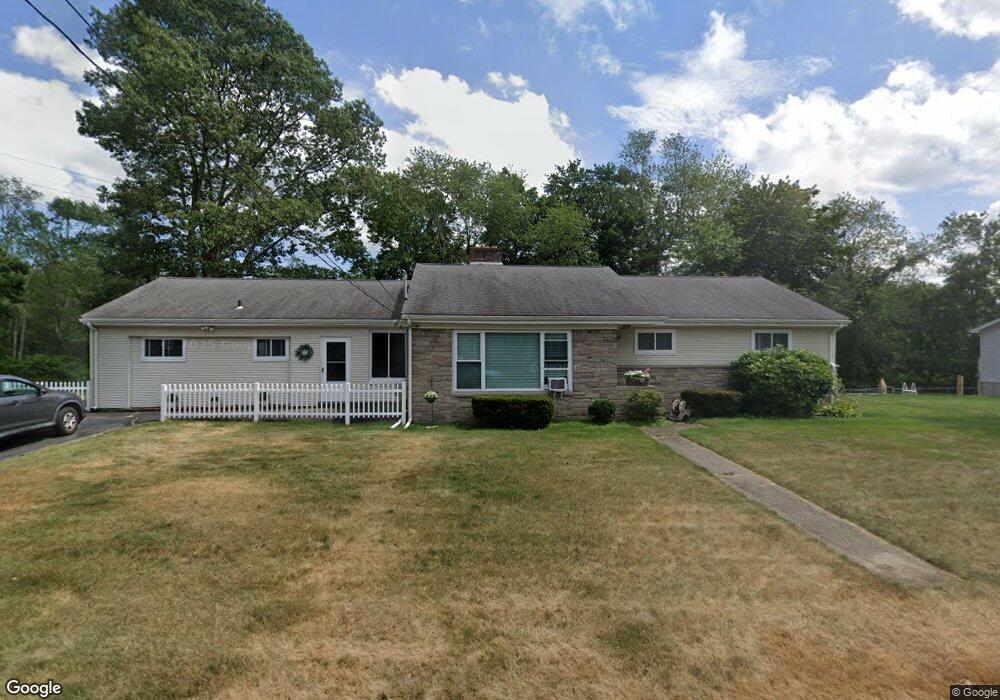
95 Coleman St Seekonk, MA 02771
Estimated Value: $599,000 - $636,000
4
Beds
2
Baths
2,056
Sq Ft
$303/Sq Ft
Est. Value
About This Home
This home is located at 95 Coleman St, Seekonk, MA 02771 and is currently estimated at $623,374, approximately $303 per square foot. 95 Coleman St is a home located in Bristol County with nearby schools including Seekonk High School, St Cecilia School, and Saint Teresa Catholic Elementary School.
Ownership History
Date
Name
Owned For
Owner Type
Purchase Details
Closed on
Nov 28, 1989
Sold by
Pardini Carole Ann
Bought by
Emond Michael
Current Estimated Value
Home Financials for this Owner
Home Financials are based on the most recent Mortgage that was taken out on this home.
Original Mortgage
$60,000
Interest Rate
9.83%
Mortgage Type
Purchase Money Mortgage
Create a Home Valuation Report for This Property
The Home Valuation Report is an in-depth analysis detailing your home's value as well as a comparison with similar homes in the area
Home Values in the Area
Average Home Value in this Area
Purchase History
| Date | Buyer | Sale Price | Title Company |
|---|---|---|---|
| Emond Michael | $70,000 | -- |
Source: Public Records
Mortgage History
| Date | Status | Borrower | Loan Amount |
|---|---|---|---|
| Closed | Emond Michael | $15,000 | |
| Closed | Emond Michael | $60,000 |
Source: Public Records
Tax History
| Year | Tax Paid | Tax Assessment Tax Assessment Total Assessment is a certain percentage of the fair market value that is determined by local assessors to be the total taxable value of land and additions on the property. | Land | Improvement |
|---|---|---|---|---|
| 2025 | $6,302 | $510,300 | $153,800 | $356,500 |
| 2024 | $6,023 | $487,700 | $153,800 | $333,900 |
| 2023 | $5,740 | $437,800 | $131,900 | $305,900 |
| 2022 | $5,181 | $388,400 | $126,700 | $261,700 |
| 2021 | $4,998 | $368,300 | $112,000 | $256,300 |
| 2020 | $4,627 | $351,300 | $111,800 | $239,500 |
| 2019 | $4,288 | $328,300 | $98,500 | $229,800 |
| 2018 | $4,179 | $313,000 | $94,900 | $218,100 |
| 2017 | $3,885 | $288,600 | $94,900 | $193,700 |
| 2016 | $3,846 | $286,800 | $94,900 | $191,900 |
| 2015 | $3,745 | $283,100 | $94,900 | $188,200 |
Source: Public Records
Map
Nearby Homes
- 1150 Newman Ave
- 245 Manton St
- 64 Brookdale Blvd
- 91 Seabiscuit Place
- 242 Manton #41 St
- 242 Manton St
- 127 Ricard St
- 377 Read St
- 51 Roosevelt St
- 128 Warwick Rd
- 57 Whirlaway Place
- 619 Armistice Blvd
- 99 Roosevelt St
- 0
- 52 Walker St
- 105 Metropolitan Park Ave
- 70 Whittier Rd
- 50 Dexter Ave
- 40 Camac St
- 26 Haig Ave
Your Personal Tour Guide
Ask me questions while you tour the home.