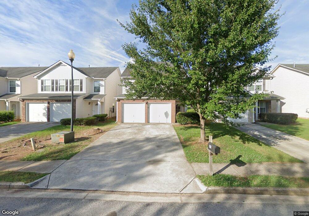
95 Colser Dr Covington, AZ 30016
Estimated Value: $216,225 - $236,000
Studio
3
Baths
1,380
Sq Ft
$167/Sq Ft
Est. Value
About This Home
This home is located at 95 Colser Dr, Covington, AZ 30016 and is currently estimated at $229,806, approximately $166 per square foot. 95 Colser Dr is a home located in Newton County with nearby schools including West Newton Elementary School, Clements Middle School, and Newton High School.
Ownership History
Date
Name
Owned For
Owner Type
Purchase Details
Closed on
Jun 23, 2021
Sold by
Atl 2 Sf Llc
Bought by
Residential Home Owner Atlanta Llc
Current Estimated Value
Purchase Details
Closed on
Feb 13, 2017
Sold by
Wmusa Investments Llc
Bought by
Atl 2 Sf Llc
Purchase Details
Closed on
Nov 18, 2011
Sold by
Wri Capital Grp Ii Llc
Bought by
Wmusa Investments Llc
Purchase Details
Closed on
Aug 24, 2011
Sold by
Branch Banking & Trust Co
Bought by
Wri Capital Grp Ii Llc
Purchase Details
Closed on
Aug 4, 2009
Sold by
Legacy Cmntys Of Lakewood Esta
Bought by
Branch Banking & Trust Co
Create a Home Valuation Report for This Property
The Home Valuation Report is an in-depth analysis detailing your home's value as well as a comparison with similar homes in the area
Home Values in the Area
Average Home Value in this Area
Purchase History
| Date | Buyer | Sale Price | Title Company |
|---|---|---|---|
| Residential Home Owner Atlanta Llc | $4,267,755 | -- | |
| Atl 2 Sf Llc | $99,900 | -- | |
| Wmusa Investments Llc | $71,900 | -- | |
| Wri Capital Grp Ii Llc | $42,000 | -- | |
| Branch Banking & Trust Co | $107,900 | -- |
Source: Public Records
Tax History
| Year | Tax Paid | Tax Assessment Tax Assessment Total Assessment is a certain percentage of the fair market value that is determined by local assessors to be the total taxable value of land and additions on the property. | Land | Improvement |
|---|---|---|---|---|
| 2025 | $2,516 | $98,160 | $14,000 | $84,160 |
| 2024 | $2,489 | $95,360 | $14,000 | $81,360 |
| 2023 | $1,593 | $56,000 | $4,369 | $51,631 |
| 2022 | $1,593 | $56,000 | $4,369 | $51,631 |
| 2021 | $1,921 | $60,920 | $4,800 | $56,120 |
| 2020 | $1,903 | $55,120 | $4,800 | $50,320 |
| 2019 | $1,638 | $46,520 | $4,800 | $41,720 |
| 2018 | $1,386 | $38,880 | $4,800 | $34,080 |
| 2017 | $1,219 | $34,000 | $4,800 | $29,200 |
| 2016 | $1,179 | $32,840 | $4,000 | $28,840 |
| 2015 | $952 | $26,000 | $4,000 | $22,000 |
| 2014 | $787 | $21,280 | $0 | $0 |
Source: Public Records
Map
Nearby Homes
- 3315 Salem Cove Trail SE
- 3380 Salem Cove Way SE
- 65 Lakeridge Ct
- 30 Pinewood Dr
- 257 Pinewood Dr
- 348 Pinewood Dr
- 408 Pinewood Dr
- 3409 Salem Rd
- 2180 E Chester Cir SE
- 2075 Pinewood Dr
- 230 Forest Brook Dr
- 1025 Lakeside Cir
- 230 Mackenzie Ct
- 1903 Old Concord Dr SE
- 3380 Colony Dr SE
- 280 Mackenzie Ct
- 3007 Viewpark Cir
- 210 Pinewood Dr
- 215 Pinewood Dr
- 160 Julia Ann Ln
Your Personal Tour Guide
Ask me questions while you tour the home.