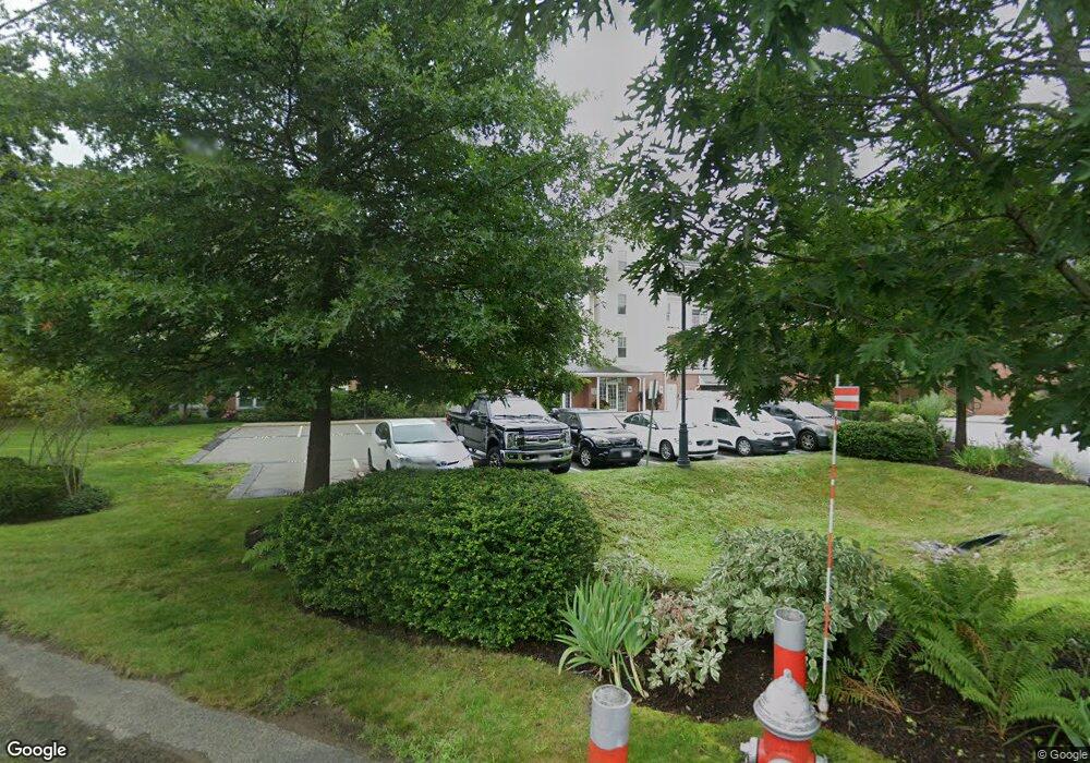
Conant Commons 95 Conant St Unit 319 Concord, MA 01742
Estimated Value: $282,442 - $516,000
1
Bed
1
Bath
896
Sq Ft
$405/Sq Ft
Est. Value
About This Home
This home is located at 95 Conant St Unit 319, Concord, MA 01742 and is currently estimated at $362,611, approximately $404 per square foot. 95 Conant St Unit 319 is a home located in Middlesex County with nearby schools including Thoreau Elementary School, Concord Middle School, and Nashoba Brooks School.
Ownership History
Date
Name
Owned For
Owner Type
Purchase Details
Closed on
Apr 11, 2014
Sold by
Cushman Victoria
Bought by
Hammer Matha
Current Estimated Value
Home Financials for this Owner
Home Financials are based on the most recent Mortgage that was taken out on this home.
Original Mortgage
$123,600
Outstanding Balance
$94,065
Interest Rate
4.37%
Mortgage Type
New Conventional
Estimated Equity
$268,546
Purchase Details
Closed on
Jun 13, 2007
Sold by
Conant Crossing Llc
Bought by
Cushman Victoria
Home Financials for this Owner
Home Financials are based on the most recent Mortgage that was taken out on this home.
Original Mortgage
$139,680
Interest Rate
6.19%
Mortgage Type
Purchase Money Mortgage
Create a Home Valuation Report for This Property
The Home Valuation Report is an in-depth analysis detailing your home's value as well as a comparison with similar homes in the area
Home Values in the Area
Average Home Value in this Area
Purchase History
| Date | Buyer | Sale Price | Title Company |
|---|---|---|---|
| Hammer Matha | $154,500 | -- | |
| Cushman Victoria | $144,000 | -- |
Source: Public Records
Mortgage History
| Date | Status | Borrower | Loan Amount |
|---|---|---|---|
| Open | Hammer Matha | $123,600 | |
| Previous Owner | Cushman Victoria | $139,680 |
Source: Public Records
Tax History Compared to Growth
Tax History
| Year | Tax Paid | Tax Assessment Tax Assessment Total Assessment is a certain percentage of the fair market value that is determined by local assessors to be the total taxable value of land and additions on the property. | Land | Improvement |
|---|---|---|---|---|
| 2025 | $31 | $231,000 | $0 | $231,000 |
| 2024 | $2,902 | $221,000 | $0 | $221,000 |
| 2023 | $2,570 | $198,338 | $0 | $198,338 |
| 2022 | $2,884 | $195,383 | $0 | $195,383 |
| 2021 | $2,738 | $186,024 | $0 | $186,024 |
| 2020 | $2,566 | $180,328 | $0 | $180,328 |
| 2019 | $2,454 | $172,968 | $0 | $172,968 |
| 2018 | $2,345 | $164,100 | $0 | $164,100 |
| 2017 | $2,302 | $163,600 | $0 | $163,600 |
| 2016 | $2,191 | $157,410 | $0 | $157,410 |
| 2015 | $2,166 | $151,600 | $0 | $151,600 |
Source: Public Records
About Conant Commons
Map
Nearby Homes
- 102 Highland St
- 54 Maple St
- 70 McCallar Ln
- 111 Central St
- 1687 Main St
- 70 Hillside Ave
- 27 Water St
- 88 Wright Rd
- 37 Water St
- 10 Wright Rd
- 114 Upland Rd
- 65 Summit St
- 1828 Main St
- 1844 Main St Unit 1844
- 16 Concord Greene Unit 5
- 12 S Meadow Ridge Unit 12
- 12 S Meadow Ridge
- 1053 Main St
- 24 Concord Greene Unit 7
- 80 N Branch Rd
- 95 Conant St Unit 413
- 95 Conant St Unit 412
- 95 Conant St Unit 411
- 95 Conant St Unit 410
- 95 Conant St Unit 409
- 95 Conant St Unit 408
- 95 Conant St Unit 406
- 95 Conant St Unit 405
- 95 Conant St Unit 403
- 95 Conant St Unit 402
- 95 Conant St Unit 401
- 95 Conant St Unit 321
- 95 Conant St Unit 320
- 95 Conant St Unit 318
- 95 Conant St Unit 317
- 95 Conant St Unit 316
- 95 Conant St Unit 315
- 95 Conant St Unit 314
- 95 Conant St Unit 313
- 95 Conant St Unit 312