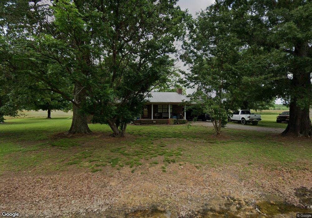
95 Davis Ferry Ln Langston, AL 35755
Estimated Value: $259,059 - $718,000
Studio
--
Bath
1,810
Sq Ft
$282/Sq Ft
Est. Value
About This Home
This home is located at 95 Davis Ferry Ln, Langston, AL 35755 and is currently estimated at $510,515, approximately $282 per square foot. 95 Davis Ferry Ln is a home with nearby schools including Section High School.
Ownership History
Date
Name
Owned For
Owner Type
Purchase Details
Closed on
Nov 18, 2005
Sold by
Cooper John Rex and Estate Of Robert Webster Davis
Bought by
Baker Jerry M and Baker Phyllis W
Current Estimated Value
Home Financials for this Owner
Home Financials are based on the most recent Mortgage that was taken out on this home.
Original Mortgage
$167,500
Outstanding Balance
$90,680
Interest Rate
6.04%
Estimated Equity
$419,835
Create a Home Valuation Report for This Property
The Home Valuation Report is an in-depth analysis detailing your home's value as well as a comparison with similar homes in the area
Purchase History
| Date | Buyer | Sale Price | Title Company |
|---|---|---|---|
| Baker Jerry M | -- | -- |
Source: Public Records
Mortgage History
| Date | Status | Borrower | Loan Amount |
|---|---|---|---|
| Open | Baker Jerry M | $167,500 |
Source: Public Records
Tax History
| Year | Tax Paid | Tax Assessment Tax Assessment Total Assessment is a certain percentage of the fair market value that is determined by local assessors to be the total taxable value of land and additions on the property. | Land | Improvement |
|---|---|---|---|---|
| 2025 | $489 | $16,300 | $0 | $0 |
| 2024 | $489 | $15,240 | $0 | $0 |
| 2023 | $454 | $16,900 | $0 | $0 |
| 2022 | $509 | $16,900 | $0 | $0 |
| 2021 | $509 | $16,900 | $0 | $0 |
| 2020 | $458 | $15,360 | $0 | $0 |
| 2019 | $472 | $15,780 | $0 | $0 |
| 2018 | $472 | $15,780 | $0 | $0 |
| 2017 | $472 | $157,700 | $0 | $0 |
| 2016 | $448 | $150,500 | $0 | $0 |
| 2015 | $436 | $146,800 | $0 | $0 |
| 2014 | $436 | $146,800 | $0 | $0 |
| 2013 | -- | $146,800 | $0 | $0 |
Source: Public Records
Map
Nearby Homes
- 10174 County Road 67 Unit Lot 17
- 10174 County Road 67 Unit Lot 57
- 541 John Cabaniss Rd
- 501 John Cabaniss Rd
- 460 John Cabaniss Rd
- 371 John Cabaniss Rd
- 570 John Cabaniss Rd
- 370 John Cabaniss Rd
- 575 John Cabaniss Rd
- 480 John Cabaniss Rd
- 350 John Cabaniss Rd
- 540 John Cabaniss Rd
- 565 John Cabaniss Rd
- 475 John Cabaniss Rd
- 425 John Cabaniss Rd
- 520 John Cabaniss Rd
- 360 John Cabaniss Rd
- 331 John Cabaniss Rd
- 320 John Cabaniss Rd
- 590 John Cabaniss Rd
- 8 Davis Point
- 10 Davis Point
- 9 Davis Point
- 248 Sauta Loop
- 198 Lillie Mae Ln
- 00 Lillie Mae Ln
- 10174 County Road 67 Unit LOT 47
- 10174 County Road 67 Unit LOT 67
- 10174 County Road 67 Unit LOT 80
- 10174 County Road 67 Unit LOT 70
- 10174 County Road 67 Unit LOT 66
- 10174 County Road 67 Unit LOT 41
- 10174 County Road 67 Unit LOT 105
- 10174 County Road 67 Unit LOT 56
- 10174 County Road 67 Unit Lot 15
- 10174 County Road 67 Unit LOT 100
- 10174 County Road 67 Unit LOT 6
- 10174 County Road 67 Unit LOT 18
- 10174 County Road 67 Unit LOT 19
- 10174 County Road 67 Unit LOT 43
Your Personal Tour Guide
Ask me questions while you tour the home.