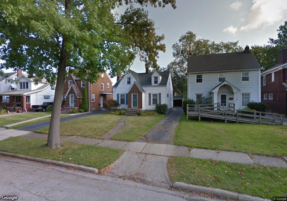
95 E 213th St Euclid, OH 44123
Estimated Value: $154,186 - $207,000
3
Beds
2
Baths
1,202
Sq Ft
$151/Sq Ft
Est. Value
About This Home
This home is located at 95 E 213th St, Euclid, OH 44123 and is currently estimated at $181,047, approximately $150 per square foot. 95 E 213th St is a home located in Cuyahoga County with nearby schools including Arbor Elementary School, Euclid Middle School, and Euclid High School.
Ownership History
Date
Name
Owned For
Owner Type
Purchase Details
Closed on
Feb 15, 2006
Sold by
Corcoran Heather M and Corcoran John P
Bought by
Tuljak Danute E Januskis
Current Estimated Value
Home Financials for this Owner
Home Financials are based on the most recent Mortgage that was taken out on this home.
Original Mortgage
$87,000
Interest Rate
6.3%
Mortgage Type
Fannie Mae Freddie Mac
Purchase Details
Closed on
Sep 10, 1998
Sold by
Dejak Daniel J and Dejak Louise
Bought by
Union Heather M
Home Financials for this Owner
Home Financials are based on the most recent Mortgage that was taken out on this home.
Original Mortgage
$68,800
Interest Rate
7.02%
Purchase Details
Closed on
Apr 2, 1985
Sold by
Dejak Daniel J
Bought by
Dejak Daniel J and Dejak Louise
Purchase Details
Closed on
Apr 22, 1976
Sold by
Campbell Pera
Bought by
Dejak Daniel J
Purchase Details
Closed on
Jan 1, 1975
Bought by
Campbell Pera
Create a Home Valuation Report for This Property
The Home Valuation Report is an in-depth analysis detailing your home's value as well as a comparison with similar homes in the area
Home Values in the Area
Average Home Value in this Area
Purchase History
| Date | Buyer | Sale Price | Title Company |
|---|---|---|---|
| Tuljak Danute E Januskis | $133,000 | Title Xperts Agency Inc | |
| Union Heather M | $100,000 | City Title Company Agency In | |
| Dejak Daniel J | -- | -- | |
| Dejak Daniel J | $39,200 | -- | |
| Campbell Pera | -- | -- |
Source: Public Records
Mortgage History
| Date | Status | Borrower | Loan Amount |
|---|---|---|---|
| Previous Owner | Tuljak Danute E Januskis | $87,000 | |
| Previous Owner | Union Heather M | $68,800 |
Source: Public Records
Tax History
| Year | Tax Paid | Tax Assessment Tax Assessment Total Assessment is a certain percentage of the fair market value that is determined by local assessors to be the total taxable value of land and additions on the property. | Land | Improvement |
|---|---|---|---|---|
| 2024 | $3,413 | $49,560 | $10,080 | $39,480 |
| 2023 | $3,591 | $41,900 | $8,370 | $33,530 |
| 2022 | $3,508 | $41,895 | $8,365 | $33,530 |
| 2021 | $3,916 | $41,900 | $8,370 | $33,530 |
| 2020 | $3,972 | $38,780 | $7,740 | $31,050 |
| 2019 | $3,575 | $110,800 | $22,100 | $88,700 |
| 2018 | $3,611 | $38,780 | $7,740 | $31,050 |
| 2017 | $3,887 | $34,900 | $6,580 | $28,320 |
| 2016 | $3,895 | $34,900 | $6,580 | $28,320 |
| 2015 | $3,542 | $34,900 | $6,580 | $28,320 |
| 2014 | $3,542 | $34,900 | $6,580 | $28,320 |
Source: Public Records
Map
Nearby Homes
- 104 E 219th St
- 226 E 216th St
- 170 E 220th St
- 144 E 208th St
- 324 E 215th St
- 273 E 208th St
- 20424 Lake Shore Blvd
- 421 Kenwood Dr Unit G
- 71 E 201st St
- 461 Kenwood Dr Unit T3
- 450 Kenwood Dr Unit E12
- 21051 S Lake Shore Blvd
- 422 Clearview Dr Unit J10
- 470 Kenwood Dr Unit D
- 55 Sunnycliff Dr
- 490 Kenwood Dr Unit B
- 22751 Fox Ave
- 22301 Milton Dr
- 174 E 200th St
- 20330 S Lake Shore Blvd
Your Personal Tour Guide
Ask me questions while you tour the home.