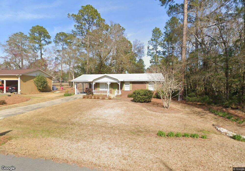
95 E Bruce St Mc Rae, GA 31055
Estimated Value: $89,000 - $117,000
Studio
2
Baths
1,092
Sq Ft
$93/Sq Ft
Est. Value
About This Home
This home is located at 95 E Bruce St, Mc Rae, GA 31055 and is currently estimated at $102,097, approximately $93 per square foot. 95 E Bruce St is a home located in Telfair County with nearby schools including Telfair County Elementary School, Telfair County Middle School, and Telfair County High School.
Ownership History
Date
Name
Owned For
Owner Type
Purchase Details
Closed on
Jul 29, 2013
Sold by
Mazza Fam Rev L
Bought by
Neal David and Neal Laura K
Current Estimated Value
Purchase Details
Closed on
Jan 1, 2013
Sold by
The Trustees Of The Mazza Fami
Bought by
The Trustees Of The Mazza Family
Purchase Details
Closed on
Jun 27, 2008
Sold by
Mazza Joseph L
Bought by
Fam Mazza Trust Revoc Liv
Purchase Details
Closed on
Aug 4, 2006
Sold by
Wolfenbarger John E
Bought by
Mazza Joseph L and Mazza Margaret L
Purchase Details
Closed on
Apr 29, 2004
Sold by
Padgett Cathy H
Bought by
Wolfenbarger John E and Wolfenbarger Sandra F
Create a Home Valuation Report for This Property
The Home Valuation Report is an in-depth analysis detailing your home's value as well as a comparison with similar homes in the area
Home Values in the Area
Average Home Value in this Area
Purchase History
| Date | Buyer | Sale Price | Title Company |
|---|---|---|---|
| Neal David | -- | -- | |
| The Trustees Of The Mazza Family | $59,700 | -- | |
| Fam Mazza Trust Revoc Liv | -- | -- | |
| Mazza Joseph L | $70,000 | -- | |
| Wolfenbarger John E | $46,000 | -- |
Source: Public Records
Tax History
| Year | Tax Paid | Tax Assessment Tax Assessment Total Assessment is a certain percentage of the fair market value that is determined by local assessors to be the total taxable value of land and additions on the property. | Land | Improvement |
|---|---|---|---|---|
| 2025 | $1,592 | $40,280 | $3,729 | $36,551 |
| 2024 | $1,468 | $36,372 | $2,983 | $33,389 |
| 2023 | $1,408 | $34,791 | $2,983 | $31,808 |
| 2022 | $1,036 | $34,791 | $2,983 | $31,808 |
| 2021 | $761 | $24,339 | $2,983 | $21,356 |
| 2020 | $711 | $22,367 | $2,983 | $19,384 |
| 2019 | $715 | $22,367 | $2,983 | $19,384 |
| 2018 | $964 | $22,367 | $2,983 | $19,384 |
| 2017 | $707 | $22,197 | $2,983 | $19,214 |
| 2016 | $707 | $22,197 | $2,983 | $19,214 |
| 2015 | -- | $22,197 | $2,983 | $19,214 |
| 2014 | -- | $22,540 | $1,762 | $20,778 |
| 2013 | -- | $22,767 | $1,989 | $20,778 |
Source: Public Records
Map
Nearby Homes
- 85 E Brewton St
- 53 Bonaire Extension
- 0 Bonaire St Unit 10647239
- 0 Bonaire St Unit 23852
- 27 E Bruce St
- 39 W Graham St
- 78 S Second Ave
- 136 S Third Ave
- 61 W Bruce St
- 49 Collins St
- 76 E Grant St
- 95 W Willow Creek Ln
- 131 Huckabee St
- 177 W Brewton St
- 11 Zanders Ave
- 427 N 3rd Ave
- 210 W Graham St
- 0 Center Ave Unit 10648464
- 0 Center Ave Unit 23896
- 17 2nd St
- 91 E Bruce St
- 94 E Bruce St
- 3 Montgomery Cir
- 90 E Bruce St
- 87 E Bruce St
- 86 E Bruce St
- 166 E Willow Creek Ln
- 112 E Brewton St
- 123 E Brewton St
- 115 E Brewton St
- 19 Montgomery Cir
- 18 Montgomery Cir
- 111 E Brewton St
- 106 E Brewton St
- 178 E Willow Creek Ln
- 73 E Bruce St
- 107 E Brewton St
- 107 E Brewton St
- 70 E Poplar St
- 102 E Brewton St
Your Personal Tour Guide
Ask me questions while you tour the home.