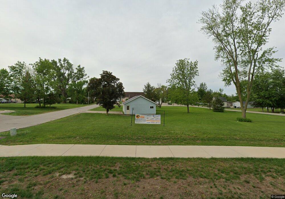
95 E Main St Robins, IA 52328
Estimated Value: $121,122 - $159,000
3
Beds
--
Bath
1,232
Sq Ft
$112/Sq Ft
Est. Value
About This Home
This home is located at 95 E Main St, Robins, IA 52328 and is currently estimated at $137,707, approximately $111 per square foot. 95 E Main St is a home located in Linn County with nearby schools including Nixon Elementary School, Harding Middle School, and John F. Kennedy High School.
Ownership History
Date
Name
Owned For
Owner Type
Purchase Details
Closed on
Oct 30, 2015
Sold by
Meihost Duane P
Bought by
City Of Robins
Current Estimated Value
Purchase Details
Closed on
Feb 17, 1999
Sold by
Moulds Brian J and Pollock Moulds Patricia E
Bought by
Meihost Duane P
Home Financials for this Owner
Home Financials are based on the most recent Mortgage that was taken out on this home.
Original Mortgage
$74,700
Interest Rate
6.88%
Mortgage Type
Purchase Money Mortgage
Create a Home Valuation Report for This Property
The Home Valuation Report is an in-depth analysis detailing your home's value as well as a comparison with similar homes in the area
Home Values in the Area
Average Home Value in this Area
Purchase History
| Date | Buyer | Sale Price | Title Company |
|---|---|---|---|
| City Of Robins | $105,000 | None Available | |
| Meihost Duane P | $82,500 | -- |
Source: Public Records
Mortgage History
| Date | Status | Borrower | Loan Amount |
|---|---|---|---|
| Previous Owner | Meihost Duane P | $74,700 |
Source: Public Records
Tax History
| Year | Tax Paid | Tax Assessment Tax Assessment Total Assessment is a certain percentage of the fair market value that is determined by local assessors to be the total taxable value of land and additions on the property. | Land | Improvement |
|---|---|---|---|---|
| 2025 | -- | -- | -- | -- |
| 2024 | -- | $45,400 | $23,400 | $22,000 |
| 2023 | -- | $45,400 | $23,400 | $22,000 |
| 2022 | $0 | $30,900 | $23,400 | $7,500 |
| 2021 | $1,634 | $30,900 | $23,400 | $7,500 |
| 2020 | $1,634 | $0 | $0 | $0 |
| 2019 | $1,634 | $0 | $0 | $0 |
| 2018 | $0 | $0 | $0 | $0 |
| 2017 | $1,634 | $0 | $0 | $0 |
| 2016 | $1,634 | $95,000 | $23,400 | $71,600 |
| 2015 | $1,640 | $95,000 | $23,400 | $71,600 |
| 2014 | $1,490 | $95,000 | $23,400 | $71,600 |
| 2013 | $1,454 | $95,000 | $23,400 | $71,600 |
Source: Public Records
Map
Nearby Homes
- 39.69 Acres M L Center Point Rd
- 8.98 Acres M L N Center Point Rd
- 28.72 Acres N Center Point Rd
- 70.78 Acres M L Quass Rd
- 3230 N Center Point Rd Unit Lot 3
- 165 Timber Ln
- 345 Dutch Dr
- 620 Hampton St
- 570 Hampton St
- 540 Hampton St
- 560 Hampton St
- 590 Hampton St
- 600 Hampton St
- 500 Hampton St
- 545 Hampton St
- 580 Hampton St
- 610 Hampton St
- 520 Hampton St
- 530 Hampton St
- 535 Hampton St
Your Personal Tour Guide
Ask me questions while you tour the home.