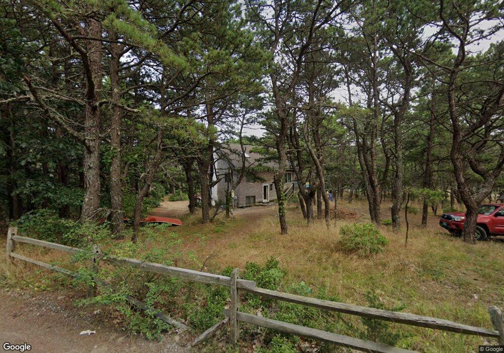
95 E St Wellfleet, MA 2667
Estimated Value: $693,000 - $1,006,000
2
Beds
1
Bath
1,068
Sq Ft
$790/Sq Ft
Est. Value
About This Home
This home is located at 95 E St, Wellfleet, MA 2667 and is currently estimated at $843,754, approximately $790 per square foot. 95 E St is a home located in Barnstable County with nearby schools including Wellfleet Elementary School, Nauset Regional Middle School, and Nauset Regional High School.
Ownership History
Date
Name
Owned For
Owner Type
Purchase Details
Closed on
Jul 13, 2020
Sold by
Twisted Sister Rt and Hicks
Bought by
Sawicki Susan
Current Estimated Value
Purchase Details
Closed on
Mar 26, 2013
Sold by
Hicks Elizabeth G Est and Hicks
Bought by
Twisted Sister Rt and Hicks
Create a Home Valuation Report for This Property
The Home Valuation Report is an in-depth analysis detailing your home's value as well as a comparison with similar homes in the area
Home Values in the Area
Average Home Value in this Area
Purchase History
| Date | Buyer | Sale Price | Title Company |
|---|---|---|---|
| Sawicki Susan | $190,000 | None Available | |
| Sawicki Susan | $190,000 | None Available | |
| Twisted Sister Rt | -- | -- | |
| Twisted Sister Rt | -- | -- |
Source: Public Records
Mortgage History
| Date | Status | Borrower | Loan Amount |
|---|---|---|---|
| Previous Owner | Twisted Sister Rt | $5,220 | |
| Previous Owner | Twisted Sister Rt | $98,000 |
Source: Public Records
Tax History
| Year | Tax Paid | Tax Assessment Tax Assessment Total Assessment is a certain percentage of the fair market value that is determined by local assessors to be the total taxable value of land and additions on the property. | Land | Improvement |
|---|---|---|---|---|
| 2025 | $5,287 | $743,600 | $499,000 | $244,600 |
| 2024 | $4,892 | $716,200 | $475,200 | $241,000 |
| 2023 | $4,311 | $619,400 | $402,800 | $216,600 |
| 2022 | $3,972 | $510,600 | $353,300 | $157,300 |
| 2021 | $3,543 | $450,800 | $315,400 | $135,400 |
| 2020 | $3,529 | $455,400 | $321,900 | $133,500 |
| 2019 | $3,485 | $450,900 | $321,900 | $129,000 |
| 2018 | $3,232 | $450,100 | $321,900 | $128,200 |
| 2017 | $3,046 | $449,300 | $321,900 | $127,400 |
| 2016 | $3,371 | $493,600 | $378,600 | $115,000 |
| 2015 | $2,513 | $370,700 | $256,500 | $114,200 |
Source: Public Records
Map
Nearby Homes
- 344 King Phillip Rd
- 45 Indian Neck Rd
- 1937 State Highway Route 6 Unit E
- 1937 State Highway Route 6 Unit E
- 46 Spring Brook Rd
- 95 Old County Rd
- 345 Cove Rd
- 2032 State Hwy Rte 6 Unit F/ (6)
- 49 Village Ln
- 340 Salt Works Rd
- 30 Sam Hollow Rd
- 175 Delphi Path
- 115 Wamsutta Rd
- 100 Gigi Ln
- 5470 State Hwy
- 135 Marven Way
- 105 Howard Ct
- 85 Rockwell Ave
- 18 Jay Dee Ln
- 30 Harbor View Cir
Your Personal Tour Guide
Ask me questions while you tour the home.