95 Ecklund Dr Unit 97 Lowell, MA 01852
Sacred Heart NeighborhoodEstimated Value: $632,910 - $747,000
6
Beds
4
Baths
2,356
Sq Ft
$292/Sq Ft
Est. Value
About This Home
This home is located at 95 Ecklund Dr Unit 97, Lowell, MA 01852 and is currently estimated at $688,728, approximately $292 per square foot. 95 Ecklund Dr Unit 97 is a home located in Middlesex County with nearby schools including Abraham Lincoln Elementary School, Moody Elementary School, and Greenhalge Elementary School.
Ownership History
Date
Name
Owned For
Owner Type
Purchase Details
Closed on
May 26, 2017
Sold by
Ma Samantha
Bought by
Ma Samantha and Chey Teresa
Current Estimated Value
Purchase Details
Closed on
Mar 28, 2007
Sold by
Residents 1St Dev Corp
Bought by
Ma Samantha
Home Financials for this Owner
Home Financials are based on the most recent Mortgage that was taken out on this home.
Original Mortgage
$305,910
Interest Rate
6.33%
Mortgage Type
Purchase Money Mortgage
Create a Home Valuation Report for This Property
The Home Valuation Report is an in-depth analysis detailing your home's value as well as a comparison with similar homes in the area
Home Values in the Area
Average Home Value in this Area
Purchase History
| Date | Buyer | Sale Price | Title Company |
|---|---|---|---|
| Ma Samantha | -- | -- | |
| Ma Samantha | -- | -- | |
| Ma Samantha | $339,900 | -- | |
| Ma Samantha | $339,900 | -- | |
| Ma Samantha | $339,900 | -- |
Source: Public Records
Mortgage History
| Date | Status | Borrower | Loan Amount |
|---|---|---|---|
| Previous Owner | Ma Samantha | $305,910 |
Source: Public Records
Tax History
| Year | Tax Paid | Tax Assessment Tax Assessment Total Assessment is a certain percentage of the fair market value that is determined by local assessors to be the total taxable value of land and additions on the property. | Land | Improvement |
|---|---|---|---|---|
| 2025 | $6,293 | $548,200 | $148,300 | $399,900 |
| 2024 | $6,504 | $546,100 | $138,600 | $407,500 |
| 2023 | $6,481 | $521,800 | $120,500 | $401,300 |
| 2022 | $5,910 | $465,700 | $109,600 | $356,100 |
| 2021 | $5,974 | $443,800 | $95,300 | $348,500 |
| 2020 | $5,054 | $378,300 | $90,600 | $287,700 |
| 2019 | $4,814 | $342,900 | $83,900 | $259,000 |
| 2018 | $4,642 | $319,100 | $79,900 | $239,200 |
| 2017 | $4,591 | $307,700 | $72,700 | $235,000 |
| 2016 | $4,389 | $289,500 | $63,500 | $226,000 |
| 2015 | $4,156 | $268,500 | $63,500 | $205,000 |
| 2013 | $3,873 | $258,000 | $70,900 | $187,100 |
Source: Public Records
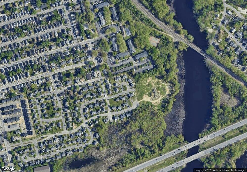
Map
Nearby Homes
- 74 Carlisle St
- 1514 Gorham St Unit 4
- 1400 Gorham St Unit 42
- 1400 Gorham St Unit 32
- 1400 Gorham St Unit 46
- 7 Gorham St Unit 54
- 7 Gorham St Unit 36
- 29 Gorham St
- 53 Gorham St
- 20 Woodland Dr Unit 330
- 20 Woodland Dr Unit 379
- 20 Woodland Dr Unit 376
- 80 Swan St Unit 223
- 18 Clancy St
- 106 Lundberg St Unit 6
- 34 Manning Rd
- 108 Marshall Rd
- 4 Thomas William Way
- 14 Warnock St
- 117 Gorham St
- 3 Ledge Way
- 99 Ecklund Dr
- 9 Ledge Way
- 101 Ecklund Dr Unit 103
- 8 Rivers Edge Rd Unit 10
- 24 Ledge Way
- 92 Ecklund Dr Unit 94
- 10 Ledge Way
- 100 Ecklund Dr
- 102 Ecklund Dr Unit 104
- 88 Ecklund Dr
- 80 Ecklund Dr
- 14 Rivers Edge Rd Unit 16
- 45-47 River Edge Rd
- 39 Rivers Edge Rd
- 71 Ecklund Dr
- 1463 Gorham St
- 1453 Gorham St
- 1467 Gorham St
- 51 Mcguigan Cir
Your Personal Tour Guide
Ask me questions while you tour the home.