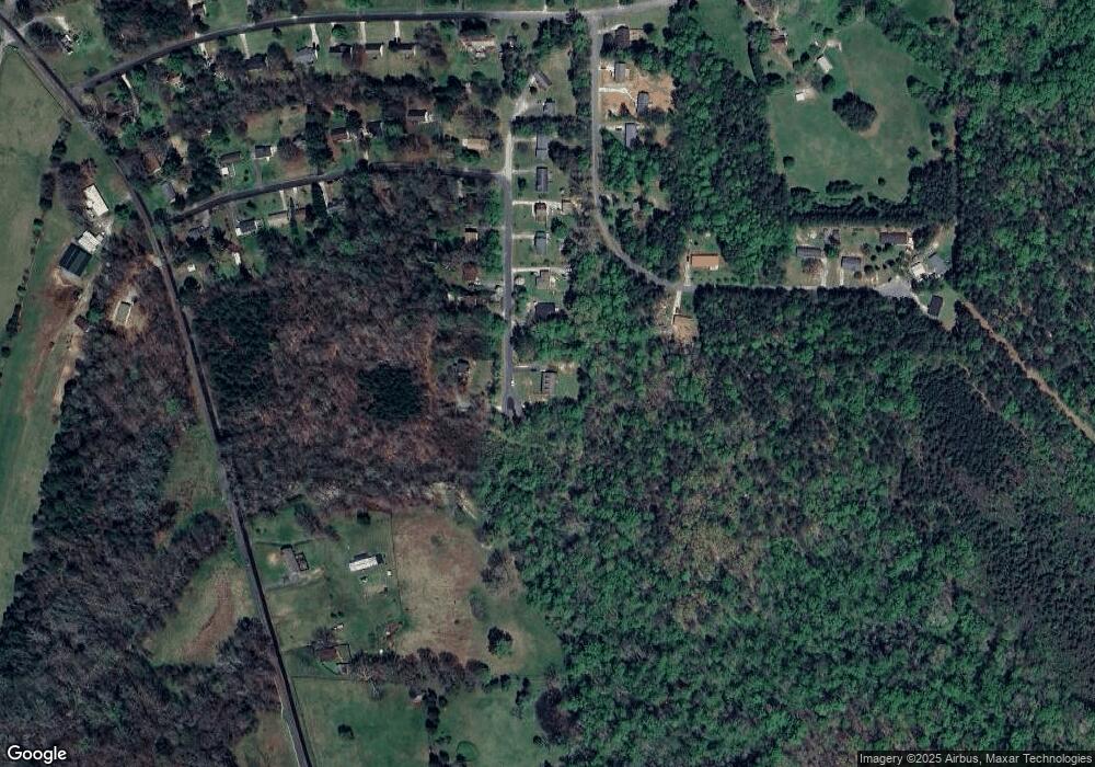
95 Ephraim Dr Salisbury, NC 28144
Estimated Value: $348,000 - $430,000
Studio
2
Baths
2,068
Sq Ft
$188/Sq Ft
Est. Value
About This Home
This home is located at 95 Ephraim Dr, Salisbury, NC 28144 and is currently estimated at $389,793, approximately $188 per square foot. 95 Ephraim Dr is a home located in Rowan County with nearby schools including North Rowan Elementary School, North Rowan Middle School, and North Rowan High School.
Ownership History
Date
Name
Owned For
Owner Type
Purchase Details
Closed on
Oct 23, 2007
Sold by
Campbell Robert L and Campbell Sue C
Bought by
Smith Michael W and Smith Misty L
Current Estimated Value
Purchase Details
Closed on
Mar 7, 2006
Sold by
Campbell Eric Michael and Campbell Terry
Bought by
Campbell Robert L and Campbell Sue C
Purchase Details
Closed on
Dec 14, 2005
Sold by
Campbell Robert L and Campbell Sue C
Bought by
Campbell Eric Michael
Create a Home Valuation Report for This Property
The Home Valuation Report is an in-depth analysis detailing your home's value as well as a comparison with similar homes in the area
Purchase History
| Date | Buyer | Sale Price | Title Company |
|---|---|---|---|
| Smith Michael W | -- | None Available | |
| Campbell Robert L | -- | None Available | |
| Campbell Eric Michael | -- | None Available |
Source: Public Records
Tax History Compared to Growth
Tax History
| Year | Tax Paid | Tax Assessment Tax Assessment Total Assessment is a certain percentage of the fair market value that is determined by local assessors to be the total taxable value of land and additions on the property. | Land | Improvement |
|---|---|---|---|---|
| 2025 | $2,326 | $349,745 | $28,000 | $321,745 |
| 2024 | $2,326 | $349,745 | $28,000 | $321,745 |
| 2023 | $2,326 | $349,745 | $28,000 | $321,745 |
| 2022 | $934 | $251,683 | $18,000 | $233,683 |
| 2021 | $1,869 | $251,683 | $18,000 | $233,683 |
| 2020 | $934 | $251,683 | $18,000 | $233,683 |
| 2019 | $934 | $251,683 | $18,000 | $233,683 |
| 2018 | $784 | $212,958 | $18,000 | $194,958 |
| 2017 | $784 | $212,958 | $18,000 | $194,958 |
| 2016 | $784 | $212,958 | $18,000 | $194,958 |
| 2015 | $796 | $212,958 | $18,000 | $194,958 |
| 2014 | $769 | $215,174 | $18,000 | $197,174 |
Source: Public Records
Map
Nearby Homes
- 5020 Old Mocksville Rd
- 0 Long Bow Rd Unit 1200498
- 6230 Old Mocksville Rd
- 175 Country Ln
- 3870 Old Mocksville Rd
- 1206 Archer Farm Dr
- 955 Bethel Dr
- 140 Elizabeth Ave
- 450 E Ridge Rd
- 6404 Fox Trace
- 204 S Deerfield Cir
- 250 Douglas St
- 250 Lariat Cir
- 4355 Franklin Community Center Rd
- 255 Lariat Cir
- 3435 E Ridge Rd
- 111 Pantego Place
- 209 Pantego Place
- 127 Pantego Place
- 123 Pantego Place
- 0 Ephraim Dr Unit 909293
- 0 Ephraim Dr Unit 32 3738703
- 0 Ephraim Dr Unit 33 3738691
- 0 Ephraim Dr Unit 36 3738660
- 103 Ephraim Dr
- 94 Ephraim Dr
- 001 Ephraim Dr
- 1138 River Trace Ln
- 107 Ephraim Dr
- 1150 River Trace Ln
- 102 Ephraim Dr
- 111 Ephraim Dr
- 106 Ephraim Dr
- 110 Ephraim Dr
- 117 Ephraim Dr
- 1135 River Trace Ln Unit 7
- 1198 River Trace Ln
- 00 Ephraim Dr
- 1101 River Trace Ln
- 201 Ephraim Dr
