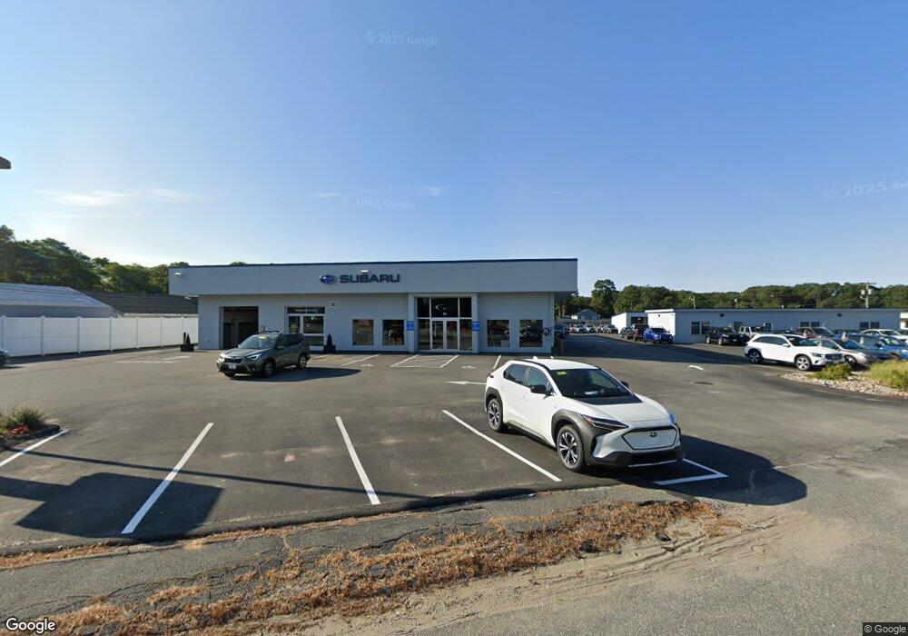
95 Falmouth Rd Hyannis, MA 2601
--
Bed
--
Bath
8,800
Sq Ft
1.54
Acres
About This Home
This home is located at 95 Falmouth Rd, Hyannis, MA 2601. 95 Falmouth Rd is a home located in Barnstable County with nearby schools including Hyannis West Elementary School, Barnstable United Elementary School, and Barnstable Intermediate School.
Ownership History
Date
Name
Owned For
Owner Type
Purchase Details
Closed on
Nov 26, 2024
Sold by
Wood Gilbert C
Bought by
123 Falmouth Road Rt and Wood
Purchase Details
Closed on
Nov 4, 1991
Sold by
T & T Rt
Bought by
Wood Gilbert C
Home Financials for this Owner
Home Financials are based on the most recent Mortgage that was taken out on this home.
Original Mortgage
$465,000
Interest Rate
8.9%
Mortgage Type
Commercial
Create a Home Valuation Report for This Property
The Home Valuation Report is an in-depth analysis detailing your home's value as well as a comparison with similar homes in the area
Home Values in the Area
Average Home Value in this Area
Purchase History
| Date | Buyer | Sale Price | Title Company |
|---|---|---|---|
| 123 Falmouth Road Rt | -- | None Available | |
| 123 Falmouth Road Rt | -- | None Available | |
| Wood Gilbert C | $450,000 | -- | |
| Wood Gilbert C | $450,000 | -- |
Source: Public Records
Mortgage History
| Date | Status | Borrower | Loan Amount |
|---|---|---|---|
| Previous Owner | Wood Gilbert C | $500,000 | |
| Previous Owner | Wood Gilbert C | $465,000 |
Source: Public Records
Tax History Compared to Growth
Tax History
| Year | Tax Paid | Tax Assessment Tax Assessment Total Assessment is a certain percentage of the fair market value that is determined by local assessors to be the total taxable value of land and additions on the property. | Land | Improvement |
|---|---|---|---|---|
| 2025 | $17,993 | $1,830,400 | $687,000 | $1,143,400 |
| 2024 | $17,725 | $1,817,900 | $687,000 | $1,130,900 |
| 2023 | $19,106 | $1,817,900 | $687,000 | $1,130,900 |
| 2022 | $18,735 | $1,463,700 | $508,300 | $955,400 |
| 2021 | $18,735 | $1,463,700 | $508,300 | $955,400 |
| 2020 | $16,395 | $1,245,800 | $477,300 | $768,500 |
| 2019 | $16,884 | $1,250,700 | $477,300 | $773,400 |
| 2018 | $16,041 | $1,233,900 | $477,300 | $756,600 |
| 2017 | $15,338 | $1,219,200 | $477,300 | $741,900 |
| 2016 | $14,972 | $1,219,200 | $477,300 | $741,900 |
| 2015 | $13,392 | $1,116,000 | $458,700 | $657,300 |
Source: Public Records
Map
Nearby Homes
- 370 Compass Cir
- 297 Compass Cir
- 213 Hinckley Rd
- 12 Walnut St
- 321 Winter St
- 28 Bumpus Rd
- 72 Grove St
- 57 Suffolk Ave
- 52 Maryalice Ln
- 7 Delta St
- 65 Louis St Unit A
- 1029 Iyannough Rd Unit 9B
- 1029 Iyannough Rd Unit B BLDG 8
- 1029 Iyannough Rd Unit 4C
- 1029 Iyannough Rd Unit C BLDG 4
- 49 Center St
- 199 Hamden Cir
- 800 Bearse's Unit 1WD
- 800 Bearses Way Unit 4EE
- 800 Bearses Way Unit 1WD
- 91 Falmouth Rd
- 123 Falmouth Rd
- 73 Falmouth Rd
- 102 Falmouth Rd
- 180 Walton Ave
- 76 Falmouth Rd
- 61 Falmouth Rd
- 88 Falmouth Rd
- 172 Walton Ave
- 163 Hinckley Rd
- 96 Falmouth Rd
- 155 Hinckley Rd
- 323 Compass Cir
- 149 Hinckley Rd
- 143 Hinckley Rd
- 153 Hinckley Rd
- 55 Falmouth Rd
- 365 Compass Cir
- 141 Falmouth Rd
- 167 Hinckley Rd