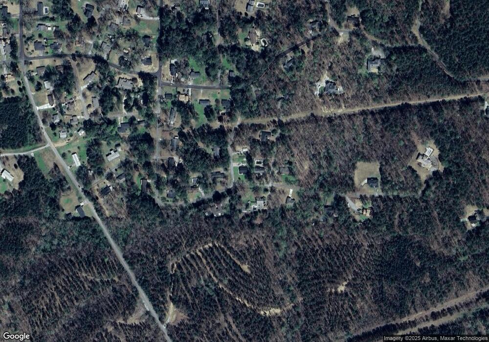
95 Farrington Way Heflin, AL 36264
Estimated Value: $211,000 - $255,000
3
Beds
2
Baths
1,642
Sq Ft
$147/Sq Ft
Est. Value
About This Home
This home is located at 95 Farrington Way, Heflin, AL 36264 and is currently estimated at $241,225, approximately $146 per square foot. 95 Farrington Way is a home located in Cleburne County.
Ownership History
Date
Name
Owned For
Owner Type
Purchase Details
Closed on
Oct 14, 2022
Sold by
Freeman William D and Freeman Haley H
Bought by
Jacks Joseph E and Jacks Faye A
Current Estimated Value
Home Financials for this Owner
Home Financials are based on the most recent Mortgage that was taken out on this home.
Original Mortgage
$200,800
Outstanding Balance
$172,867
Interest Rate
5.16%
Mortgage Type
New Conventional
Estimated Equity
$68,358
Purchase Details
Closed on
Oct 7, 2011
Sold by
Young James B and Young Sara B
Bought by
Owen Jeromy L and Owent Misty L
Home Financials for this Owner
Home Financials are based on the most recent Mortgage that was taken out on this home.
Original Mortgage
$125,000
Interest Rate
4.2%
Mortgage Type
Stand Alone First
Create a Home Valuation Report for This Property
The Home Valuation Report is an in-depth analysis detailing your home's value as well as a comparison with similar homes in the area
Home Values in the Area
Average Home Value in this Area
Purchase History
| Date | Buyer | Sale Price | Title Company |
|---|---|---|---|
| Jacks Joseph E | $251,000 | -- | |
| Owen Jeromy L | -- | -- |
Source: Public Records
Mortgage History
| Date | Status | Borrower | Loan Amount |
|---|---|---|---|
| Open | Jacks Joseph E | $200,800 | |
| Previous Owner | Owen Jeromy L | $125,000 |
Source: Public Records
Tax History Compared to Growth
Tax History
| Year | Tax Paid | Tax Assessment Tax Assessment Total Assessment is a certain percentage of the fair market value that is determined by local assessors to be the total taxable value of land and additions on the property. | Land | Improvement |
|---|---|---|---|---|
| 2024 | $1,608 | $30,684 | $2,744 | $27,940 |
| 2023 | $1,503 | $26,196 | $2,376 | $23,820 |
| 2022 | $642 | $26,196 | $2,376 | $23,820 |
| 2021 | $660 | $26,924 | $2,324 | $24,600 |
| 2020 | $532 | $23,876 | $2,556 | $21,320 |
| 2019 | $518 | $23,324 | $2,324 | $21,000 |
| 2018 | $518 | $23,324 | $2,324 | $21,000 |
| 2017 | $527 | $23,664 | $2,324 | $21,340 |
| 2016 | $518 | $11,662 | $0 | $0 |
| 2015 | $518 | $116,620 | $0 | $0 |
| 2014 | $518 | $116,620 | $0 | $0 |
| 2013 | $524 | $117,720 | $0 | $0 |
Source: Public Records
Map
Nearby Homes
- 357 Perryman Bridge Rd
- 0 Highway 9 Unit 1319111
- 0 Highway 9 Unit 21378462
- 86 Jones Rd
- 491 Almon St
- 44 Freeman St
- 59 Freeman St
- 72 Azalea St
- 0 Osborn St Unit 1 21413432
- 201 Bell St
- 760 Bedwell St
- 772 Bedwell St
- 943 Ross St
- 511 Evans Bridge Rd
- 227 Bennett St
- 990 Ross St
- 193 Brown St
- 0 Sugar Hill Dr Unit 29 & 28 21382866
- 0 Highway 46 Unit 21430373
- 0 Highway 46 Unit 1.9 21430374
- 95 Kingwood Dr
- 0 Kingwood Dr Unit 449818
- 0 Kingwood Dr Unit 487800
- 0 Kingwood Dr Unit 30 754222
- 35 Kingwood Dr
- 429 Briarcliff Rd
- 78 Farrington Way
- 34 Kingwood Dr
- 416 Briarcliff Rd
- 395 Briarcliff Rd
- 51 Jennifer Dr
- 55 Jennifer Dr
- 315 Briarcliff Rd
- 331 Briarcliff Rd
- 267 Briarcliff Rd
- 231 Briarcliff Rd
- 570 Brockford Rd
- 522 Brockford Rd
- 126 Kingwood Dr
- 322 Briarcliff Rd
