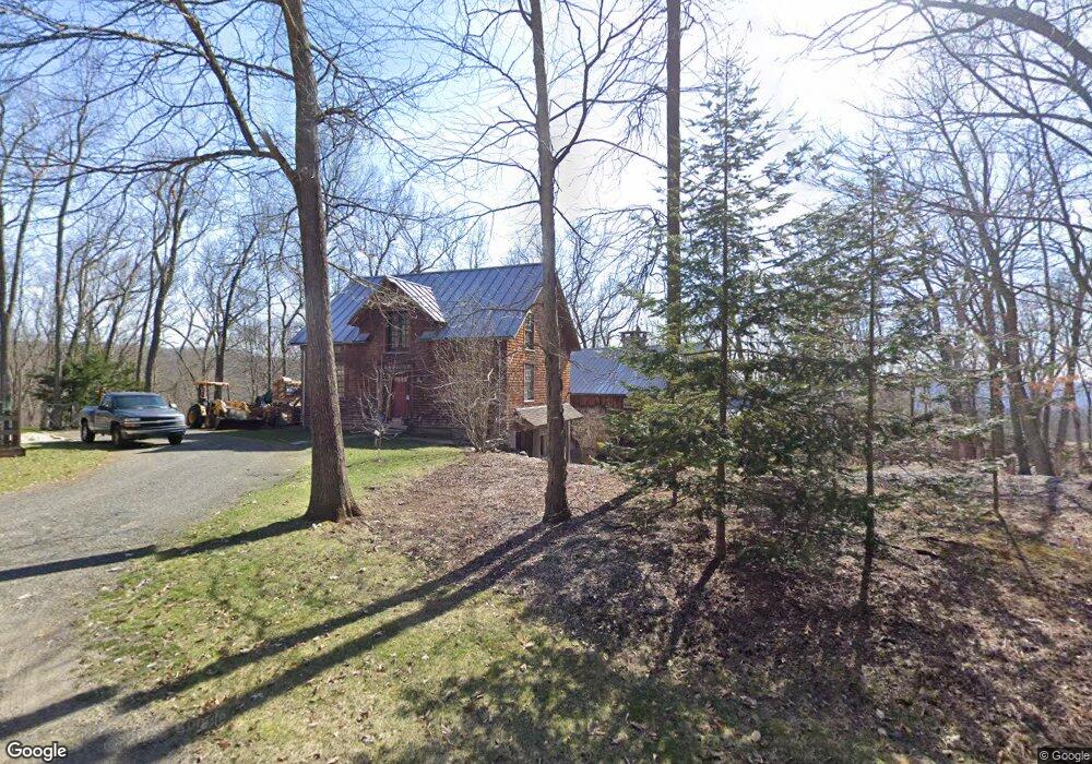
95 Flag Swamp Rd Roxbury, CT 06783
Estimated Value: $1,223,000 - $1,482,000
2
Beds
3
Baths
2,681
Sq Ft
$498/Sq Ft
Est. Value
About This Home
This home is located at 95 Flag Swamp Rd, Roxbury, CT 06783 and is currently estimated at $1,336,281, approximately $498 per square foot. 95 Flag Swamp Rd is a home located in Litchfield County with nearby schools including Shepaug Valley School and The Gunnery.
Ownership History
Date
Name
Owned For
Owner Type
Purchase Details
Closed on
Apr 29, 2016
Sold by
Norris Kimberly
Bought by
Norris Christopher
Current Estimated Value
Purchase Details
Closed on
Apr 28, 2000
Sold by
Monoson Peter
Bought by
Norris Chris and Norris Kim
Create a Home Valuation Report for This Property
The Home Valuation Report is an in-depth analysis detailing your home's value as well as a comparison with similar homes in the area
Home Values in the Area
Average Home Value in this Area
Purchase History
| Date | Buyer | Sale Price | Title Company |
|---|---|---|---|
| Norris Christopher | -- | -- | |
| Norris Christopher | -- | -- | |
| Norris Chris | $80,000 | -- | |
| Norris Chris | $80,000 | -- |
Source: Public Records
Mortgage History
| Date | Status | Borrower | Loan Amount |
|---|---|---|---|
| Previous Owner | Norris Chris | $520,016 | |
| Previous Owner | Norris Chris | $350,000 |
Source: Public Records
Tax History Compared to Growth
Tax History
| Year | Tax Paid | Tax Assessment Tax Assessment Total Assessment is a certain percentage of the fair market value that is determined by local assessors to be the total taxable value of land and additions on the property. | Land | Improvement |
|---|---|---|---|---|
| 2025 | $8,620 | $663,110 | $258,090 | $405,020 |
| 2024 | $8,355 | $663,110 | $258,090 | $405,020 |
| 2023 | $8,747 | $694,190 | $258,090 | $436,100 |
| 2022 | $9,001 | $590,200 | $267,480 | $322,720 |
| 2021 | $9,089 | $590,200 | $267,480 | $322,720 |
| 2020 | $9,325 | $590,200 | $267,480 | $322,720 |
| 2019 | $9,355 | $590,200 | $267,480 | $322,720 |
| 2018 | $9,355 | $590,200 | $267,480 | $322,720 |
| 2017 | $9,458 | $666,090 | $275,770 | $390,320 |
| 2016 | $9,125 | $666,090 | $275,770 | $390,320 |
| 2015 | $9,125 | $666,090 | $275,770 | $390,320 |
| 2014 | $8,847 | $660,240 | $275,770 | $384,470 |
Source: Public Records
Map
Nearby Homes
- 55 Mallory Rd
- 286 South St
- 96 Squire Rd
- 336 South St
- 179 South St
- 99 Carriage Ln
- 31 Hickory Ln
- 67 Transylvania Rd
- 24 Hickory Ln
- L7&L8 Willow Brook Dr
- Lot 7 & Lot 8 Willow Brook Dr
- 88 Rucum Rd
- 24 Roxbury Rd
- 22 E Woods Rd
- 47 South St
- 4 Judge Rd
- 50 Southbury Rd
- 32 Grassy Hill Rd
- 0 Good Hill Rd
- 62 Tepi Dr
- 113 Flag Swamp Rd
- 89 Flag Swamp Rd
- 117 Flag Swamp Rd
- 127 Flag Swamp Rd
- 77 Flag Swamp Rd
- 94 Mallory Rd
- 98 Mallory Rd
- 86 Mallory Rd
- 135 Flag Swamp Rd
- 90 Mallory Rd
- 00 Mallory Rd
- 104 Mallory Rd
- 108 Mallory Rd
- 69 Flag Swamp Rd
- 177 Flag Swamp Rd
- 137 Flag Swamp Rd
- 74 Mallory Rd
- 70 Mallory Rd
- 43 Flag Swamp Rd
- 0 Mallory Rd