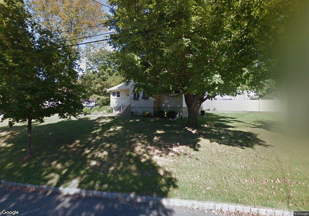
95 Gloucester Rd Parsippany, NJ 07054
Estimated Value: $418,100 - $520,000
Studio
--
Bath
1,012
Sq Ft
$469/Sq Ft
Est. Value
About This Home
This home is located at 95 Gloucester Rd, Parsippany, NJ 07054 and is currently estimated at $475,025, approximately $469 per square foot. 95 Gloucester Rd is a home located in Morris County with nearby schools including Lake Parsippany Elementary School, Brooklawn Middle School, and Parsippany Hills High School.
Ownership History
Date
Name
Owned For
Owner Type
Purchase Details
Closed on
Apr 4, 2024
Sold by
Bhatnagar Sumita
Bought by
Bhatnagar Tej
Current Estimated Value
Purchase Details
Closed on
Nov 6, 2007
Sold by
Hsbc Bank Usa Na
Bought by
Bhatnagar Tej P and Bhatnagar Sumita R
Home Financials for this Owner
Home Financials are based on the most recent Mortgage that was taken out on this home.
Original Mortgage
$333,000
Interest Rate
6.41%
Mortgage Type
Purchase Money Mortgage
Purchase Details
Closed on
May 22, 2007
Sold by
Mamoor Suraya and Mamoor Yaqub
Bought by
U S Bank Na
Purchase Details
Closed on
Aug 16, 2005
Sold by
Lechmanick Jeffrey
Bought by
Mamoor Suraya and Mamoor Rona
Home Financials for this Owner
Home Financials are based on the most recent Mortgage that was taken out on this home.
Original Mortgage
$86,400
Interest Rate
5.66%
Mortgage Type
Stand Alone Second
Create a Home Valuation Report for This Property
The Home Valuation Report is an in-depth analysis detailing your home's value as well as a comparison with similar homes in the area
Home Values in the Area
Average Home Value in this Area
Purchase History
| Date | Buyer | Sale Price | Title Company |
|---|---|---|---|
| Bhatnagar Tej | -- | None Listed On Document | |
| Bhatnagar Tej P | $310,000 | First American Title Ins Co | |
| U S Bank Na | -- | None Available | |
| Mamoor Suraya | $432,000 | -- |
Source: Public Records
Mortgage History
| Date | Status | Borrower | Loan Amount |
|---|---|---|---|
| Previous Owner | Bhatnagar Tej P | $333,000 | |
| Previous Owner | Mamoor Suraya | $86,400 | |
| Previous Owner | Mamoor Suraya | $345,600 |
Source: Public Records
Tax History
| Year | Tax Paid | Tax Assessment Tax Assessment Total Assessment is a certain percentage of the fair market value that is determined by local assessors to be the total taxable value of land and additions on the property. | Land | Improvement |
|---|---|---|---|---|
| 2025 | $7,996 | $230,900 | $144,000 | $86,900 |
| 2024 | $7,844 | $230,900 | $144,000 | $86,900 |
Source: Public Records
Map
Nearby Homes
- 560 Allentown Rd
- 10 Buena Rd
- 287 Atlantic Dr
- 279 Beachwood Rd
- 240 Atlantic Dr
- 15 Glassboro Rd
- 41 Moraine Rd
- 156 Park Rd
- 132 Camden Rd
- 77 Moraine Rd
- 16 Absecon Rd
- 121 Harrison Rd
- 1 Briarcliff Rd
- 72 Allentown Rd
- 871 Tabor Rd
- 6 Wyndwood Rd
- 176 Harrison Rd
- 612 Lopez Ln
- 275 Malapardis Rd
- 18 Foxwood Dr Unit H
Your Personal Tour Guide
Ask me questions while you tour the home.