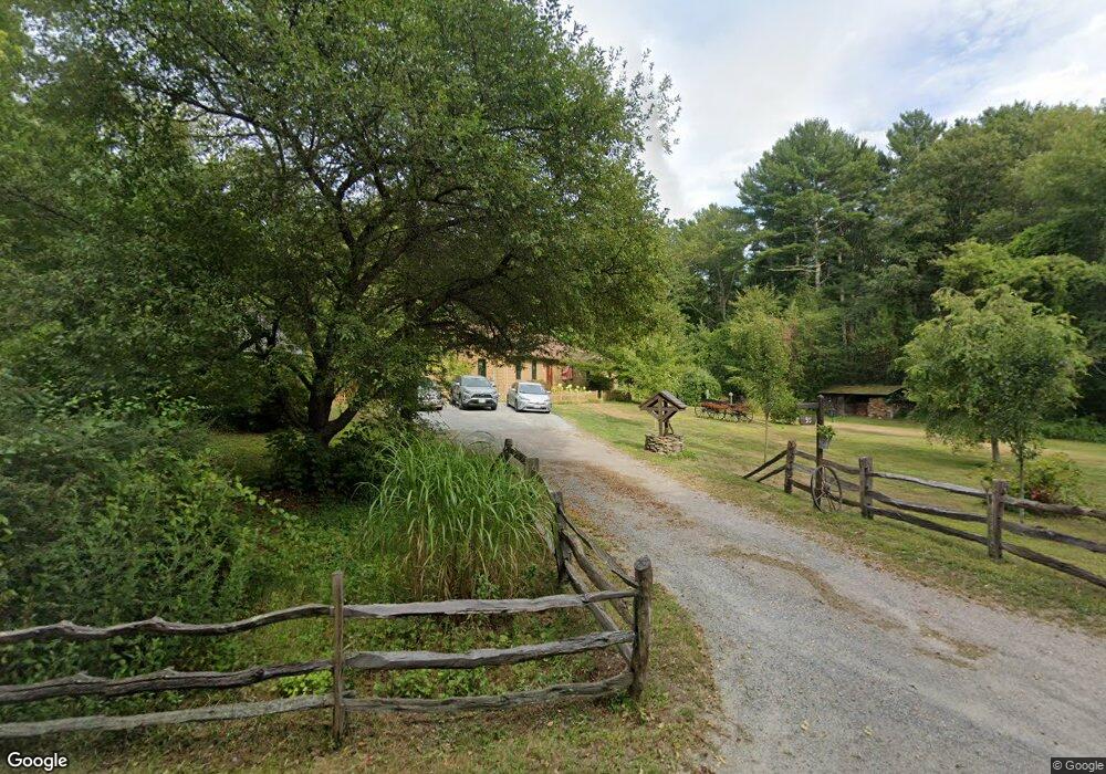
95 Hornbine Rd Rehoboth, MA 02769
Estimated Value: $596,000 - $803,000
5
Beds
1
Bath
1,960
Sq Ft
$357/Sq Ft
Est. Value
About This Home
This home is located at 95 Hornbine Rd, Rehoboth, MA 02769 and is currently estimated at $699,500, approximately $356 per square foot. 95 Hornbine Rd is a home located in Bristol County with nearby schools including Dighton-Rehoboth Regional High School.
Ownership History
Date
Name
Owned For
Owner Type
Purchase Details
Closed on
Aug 24, 2020
Sold by
Letouneau Gerlard P and Letourneau Elaine M
Bought by
G & Elaine Letourneau Lt
Current Estimated Value
Purchase Details
Closed on
Jan 1, 1983
Bought by
Letourneau Gerald P and Letourneau Elaine M
Create a Home Valuation Report for This Property
The Home Valuation Report is an in-depth analysis detailing your home's value as well as a comparison with similar homes in the area
Home Values in the Area
Average Home Value in this Area
Purchase History
| Date | Buyer | Sale Price | Title Company |
|---|---|---|---|
| G & Elaine Letourneau Lt | -- | None Available | |
| Letourneau Gerald P | -- | -- |
Source: Public Records
Mortgage History
| Date | Status | Borrower | Loan Amount |
|---|---|---|---|
| Previous Owner | Letourneau Gerald P | $10,000 | |
| Previous Owner | Letourneau Gerald P | $25,000 | |
| Previous Owner | Letourneau Gerald P | $12,000 | |
| Previous Owner | Letourneau Gerald P | $55,000 |
Source: Public Records
Tax History Compared to Growth
Tax History
| Year | Tax Paid | Tax Assessment Tax Assessment Total Assessment is a certain percentage of the fair market value that is determined by local assessors to be the total taxable value of land and additions on the property. | Land | Improvement |
|---|---|---|---|---|
| 2025 | $54 | $487,900 | $201,700 | $286,200 |
| 2024 | $5,327 | $468,900 | $201,700 | $267,200 |
| 2023 | $5,036 | $448,100 | $197,700 | $250,400 |
| 2022 | $5,036 | $397,500 | $189,300 | $208,200 |
| 2021 | $4,862 | $367,200 | $173,000 | $194,200 |
| 2020 | $4,617 | $351,900 | $173,000 | $178,900 |
| 2018 | $1,653 | $339,700 | $165,200 | $174,500 |
| 2017 | $3,772 | $300,300 | $165,200 | $135,100 |
| 2016 | $3,702 | $304,700 | $165,200 | $139,500 |
| 2015 | $3,361 | $273,000 | $158,000 | $115,000 |
| 2014 | $3,307 | $265,800 | $150,800 | $115,000 |
Source: Public Records
Map
Nearby Homes
- 89 Hornbine Rd
- 85 Hornbine Rd
- 90 Hornbine Rd
- 99 Hornbine Rd
- 105 Hornbine Rd
- 79 Hornbine Rd
- 82 Hornbine Rd
- 73 Hornbine Rd
- 111 Hornbine Rd
- 72 Hornbine Rd
- 78 Hornbine Rd
- 71 Hornbine Rd
- 115 Hornbine Rd
- 118 Hornbine Rd
- 120 Hornbine Rd
- 68 Hornbine Rd
- 123 Hornbine Rd
- 124 Hornbine Rd
- 64 Hornbine Rd
- 64 Hornbine Rd Unit 2