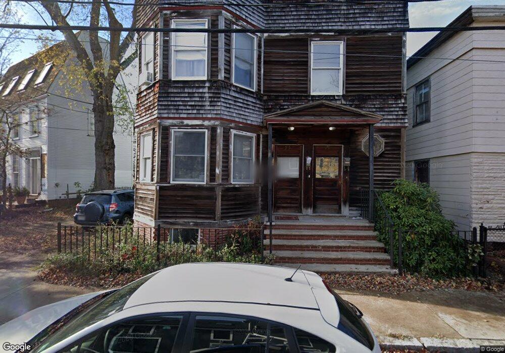
95 Howard St Cambridge, MA 02139
Riverside NeighborhoodEstimated Value: $1,867,000 - $2,768,000
6
Beds
4
Baths
3,402
Sq Ft
$654/Sq Ft
Est. Value
About This Home
This home is located at 95 Howard St, Cambridge, MA 02139 and is currently estimated at $2,223,333, approximately $653 per square foot. 95 Howard St is a home located in Middlesex County with nearby schools including Prospect Hill Academy Charter School and St. Paul's Choir School.
Ownership History
Date
Name
Owned For
Owner Type
Purchase Details
Closed on
Aug 27, 2020
Sold by
Jmpr Rt
Bought by
95-97 Howard Street Rt
Current Estimated Value
Purchase Details
Closed on
Nov 30, 1985
Bought by
Remondi Joseph F
Create a Home Valuation Report for This Property
The Home Valuation Report is an in-depth analysis detailing your home's value as well as a comparison with similar homes in the area
Home Values in the Area
Average Home Value in this Area
Purchase History
| Date | Buyer | Sale Price | Title Company |
|---|---|---|---|
| 95-97 Howard Street Rt | -- | None Available | |
| Remondi Joseph F | $25,000 | -- |
Source: Public Records
Tax History
| Year | Tax Paid | Tax Assessment Tax Assessment Total Assessment is a certain percentage of the fair market value that is determined by local assessors to be the total taxable value of land and additions on the property. | Land | Improvement |
|---|---|---|---|---|
| 2025 | $9,985 | $1,572,400 | $895,000 | $677,400 |
| 2024 | $9,387 | $1,585,600 | $933,200 | $652,400 |
| 2023 | $9,013 | $1,538,000 | $950,500 | $587,500 |
| 2022 | $8,736 | $1,475,700 | $945,000 | $530,700 |
| 2021 | $8,407 | $1,437,100 | $926,600 | $510,500 |
| 2020 | $8,141 | $1,415,900 | $917,500 | $498,400 |
| 2019 | $8,016 | $1,349,500 | $793,300 | $556,200 |
| 2018 | $7,461 | $1,186,100 | $686,400 | $499,700 |
| 2017 | $7,326 | $1,128,800 | $655,300 | $473,500 |
| 2016 | $6,641 | $950,000 | $513,900 | $436,100 |
| 2015 | $6,468 | $827,100 | $448,400 | $378,700 |
| 2014 | $6,515 | $777,500 | $431,100 | $346,400 |
Source: Public Records
Map
Nearby Homes
- 65 Howard St Unit 1
- 527 Franklin St
- 950 Massachusetts Ave Unit 307
- 950 Massachusetts Ave Unit 418
- 950 Massachusetts Ave Unit 504
- 950 Massachusetts Ave Unit C3B
- 49-51 Putnam Ave
- 872 Massachusetts Ave Unit 303
- 2 Hingham St
- 860 Massachusetts Ave Unit 852-3
- 13 Howard St Unit 1
- 863 Massachusetts Ave Unit 25
- 300 Franklin St Unit 5
- 300 Franklin St Unit 1
- 321 Harvard St Unit 307
- 329 Harvard St Unit 1
- 8 Chatham St Unit 4
- 149A Bishop Allen Unit A
- 172-174 Auburn St Unit 3
- 60 Ellery St
- 99 Howard St
- 87 Howard St
- 83 Kinnaird St
- 45 Hayes St
- 43 Hayes St
- 87 Kinnaird St
- 87 Kinnaird St
- 87 Kinnaird St
- 87 Kinnaird St Unit 3
- 87 Kinnaird St Unit 2
- 100 Howard St Unit house
- 100 Howard St
- 51 Hayes St
- 47 Hayes St
- 51 Hayes St Unit 51
- 47 Hayes St Unit 47
- 47 Hayes St Unit 47,47
- 51 Hayes St Unit ,51
- 98 Howard St
- 53 Hayes St
Your Personal Tour Guide
Ask me questions while you tour the home.