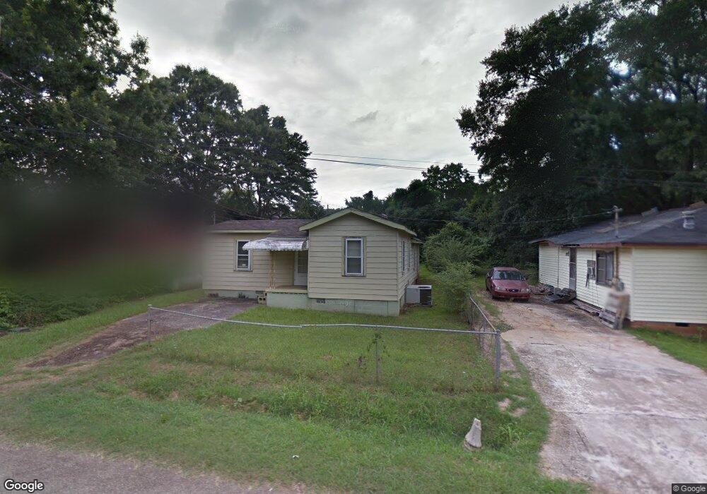
95 Kight Cir Lagrange, GA 30240
Estimated Value: $73,000 - $150,000
3
Beds
1
Bath
1,148
Sq Ft
$99/Sq Ft
Est. Value
About This Home
This home is located at 95 Kight Cir, Lagrange, GA 30240 and is currently estimated at $113,714, approximately $99 per square foot. 95 Kight Cir is a home with nearby schools including Ethel W. Kight Elementary School, Hollis Hand Elementary School, and Franklin Forest Elementary School.
Ownership History
Date
Name
Owned For
Owner Type
Purchase Details
Closed on
Aug 31, 1989
Sold by
William Arthur Hameen
Bought by
Reid Lala
Current Estimated Value
Purchase Details
Closed on
Feb 1, 1988
Sold by
Willie Joe Reed
Bought by
William Arthur Hameen
Purchase Details
Closed on
Apr 11, 1977
Bought by
Willie Joe Reed
Purchase Details
Closed on
Jun 30, 1976
Sold by
Ernest Hart
Purchase Details
Closed on
Jan 1, 1962
Sold by
Darden H C
Bought by
Ernest Hart
Create a Home Valuation Report for This Property
The Home Valuation Report is an in-depth analysis detailing your home's value as well as a comparison with similar homes in the area
Purchase History
We collect this data history from publicly available records. To have your information removed, we recommend requesting removal directly through your county’s website.
| Date | Buyer | Sale Price | Title Company |
|---|---|---|---|
| Reid Lala | $17,000 | -- | |
| William Arthur Hameen | -- | -- | |
| Willie Joe Reed | -- | -- | |
| -- | -- | -- | |
| Ernest Hart | -- | -- |
Source: Public Records
Tax History
| Year | Tax Paid | Tax Assessment Tax Assessment Total Assessment is a certain percentage of the fair market value that is determined by local assessors to be the total taxable value of land and additions on the property. | Land | Improvement |
|---|---|---|---|---|
| 2025 | $693 | $25,400 | $920 | $24,480 |
| 2024 | $561 | $20,560 | $920 | $19,640 |
| 2023 | $532 | $19,520 | $920 | $18,600 |
| 2022 | $517 | $18,520 | $920 | $17,600 |
| 2021 | $477 | $15,800 | $920 | $14,880 |
| 2020 | $477 | $15,800 | $920 | $14,880 |
| 2019 | $478 | $15,840 | $1,000 | $14,840 |
| 2018 | $438 | $14,520 | $1,000 | $13,520 |
| 2017 | $438 | $14,520 | $1,000 | $13,520 |
| 2016 | $424 | $14,071 | $1,000 | $13,071 |
| 2015 | $424 | $14,026 | $955 | $13,071 |
| 2014 | $404 | $13,343 | $960 | $12,383 |
| 2013 | -- | $14,520 | $960 | $13,560 |
Source: Public Records
Map
Nearby Homes
- 205 Grady St
- 9 Crown St Unit LOT 4
- 3 Crown St Unit LOT 1
- 802 Monroe St
- 1015 Stonewall St
- 1017 Stonewall St
- 519 Freeman St
- 109 Garfield St
- 202 Parker Ln
- 613 S Lee St
- 138 Martha St
- 1402 Forrest Ave
- 0 Unit 10514554
- 211 Moores Hill
- 0 Moores Hill
- 517 Jefferson St
- 799 Hunnicutt St
- 797 Hunnicutt St
- 900 B N Pkwy
- 412 S Lee St
Your Personal Tour Guide
Ask me questions while you tour the home.