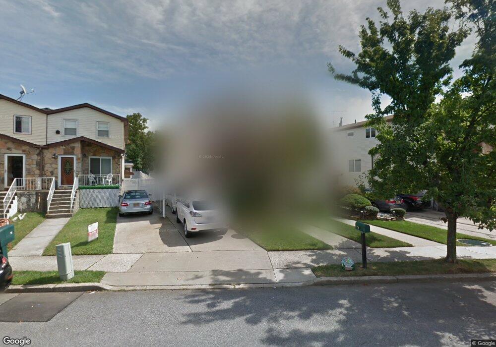
95 Lewiston St Staten Island, NY 10314
New Springville NeighborhoodEstimated Value: $730,000 - $841,000
3
Beds
4
Baths
1,768
Sq Ft
$443/Sq Ft
Est. Value
About This Home
This home is located at 95 Lewiston St, Staten Island, NY 10314 and is currently estimated at $783,275, approximately $443 per square foot. 95 Lewiston St is a home located in Richmond County with nearby schools including P.S. 69 - Daniel D. Tompkins, Is 72 Rocco Laurie, and Susan E Wagner High School.
Ownership History
Date
Name
Owned For
Owner Type
Purchase Details
Closed on
May 24, 1999
Sold by
Fung Chick Che and Chan Hang Fong
Bought by
Yue Ronald and Feng Mona
Current Estimated Value
Home Financials for this Owner
Home Financials are based on the most recent Mortgage that was taken out on this home.
Original Mortgage
$169,125
Interest Rate
7.65%
Mortgage Type
Purchase Money Mortgage
Create a Home Valuation Report for This Property
The Home Valuation Report is an in-depth analysis detailing your home's value as well as a comparison with similar homes in the area
Home Values in the Area
Average Home Value in this Area
Purchase History
| Date | Buyer | Sale Price | Title Company |
|---|---|---|---|
| Yue Ronald | $225,500 | Summit Associates Title Svcs |
Source: Public Records
Mortgage History
| Date | Status | Borrower | Loan Amount |
|---|---|---|---|
| Previous Owner | Yue Ronald | $169,125 |
Source: Public Records
Tax History Compared to Growth
Tax History
| Year | Tax Paid | Tax Assessment Tax Assessment Total Assessment is a certain percentage of the fair market value that is determined by local assessors to be the total taxable value of land and additions on the property. | Land | Improvement |
|---|---|---|---|---|
| 2025 | $6,643 | $46,080 | $7,755 | $38,325 |
| 2024 | $6,655 | $45,120 | $7,472 | $37,648 |
| 2023 | $6,644 | $34,115 | $7,944 | $26,171 |
| 2022 | $6,138 | $37,620 | $9,780 | $27,840 |
| 2021 | $6,470 | $34,980 | $9,780 | $25,200 |
| 2020 | $6,150 | $34,140 | $9,780 | $24,360 |
| 2019 | $5,717 | $34,560 | $9,780 | $24,780 |
| 2018 | $5,498 | $28,429 | $8,597 | $19,832 |
| 2017 | $5,168 | $26,820 | $9,780 | $17,040 |
| 2016 | $5,067 | $26,898 | $9,721 | $17,177 |
| 2015 | $4,289 | $25,376 | $8,440 | $16,936 |
| 2014 | $4,289 | $23,940 | $9,060 | $14,880 |
Source: Public Records
Map
Nearby Homes
- 49 Lewiston St
- 110 Lewiston St
- 63 Bogota St
- 36 Bogota St
- 86 Evans St
- 43 Bogota St
- 1372 Forest Hill Rd Unit 1b
- 1372 Forest Hill Rd Unit 1a
- 9 Furness Place
- 22 Braisted Ave
- 63 Monahan Ave
- 44 McVeigh Ave
- 41 Furness Place
- 23 Bangor St
- 45 Braisted Ave
- 4 Bangor St
- 507 Klondike Ave
- 42 Greenway Ave
- 38 Greenway Ave
- 143 Monahan Ave
- 93 Lewiston St
- 99 Lewiston St
- 101 Lewiston St
- 91 Lewiston St
- 89 Lewiston St
- 68 Travis Ave
- 103 Lewiston St
- 64 Travis Ave
- 105 Lewiston St
- 60 Travis Ave
- 92 Travis Ave
- 56 Travis Ave
- 347 Klondike Ave
- 351 Klondike Ave
- 96 Travis Ave
- 355 Klondike Ave
- 361 Klondike Ave
- 343 Klondike Ave
- 52 Travis Ave
- 365 Klondike Ave