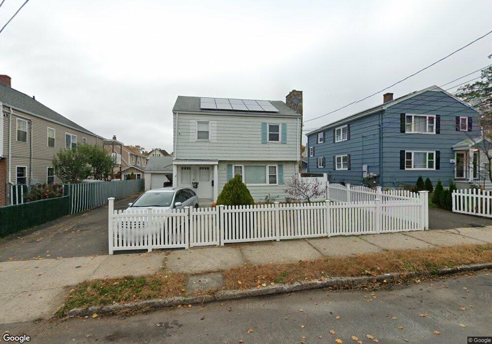
95 Locust St Unit 97 Bridgeport, CT 06610
North Bridgeport NeighborhoodEstimated Value: $441,477 - $514,000
5
Beds
4
Baths
2,048
Sq Ft
$232/Sq Ft
Est. Value
About This Home
This home is located at 95 Locust St Unit 97, Bridgeport, CT 06610 and is currently estimated at $475,369, approximately $232 per square foot. 95 Locust St Unit 97 is a home located in Fairfield County with nearby schools including Beardsley School, Harding High School, and Achievement First Bridgeport Academy Elementary School.
Ownership History
Date
Name
Owned For
Owner Type
Purchase Details
Closed on
Apr 11, 2013
Sold by
Anderson Owen
Bought by
Central Mortgage Co
Current Estimated Value
Purchase Details
Closed on
Jul 16, 2004
Sold by
Torres Rafael
Bought by
Wright Kenneth
Home Financials for this Owner
Home Financials are based on the most recent Mortgage that was taken out on this home.
Original Mortgage
$239,400
Interest Rate
7.05%
Purchase Details
Closed on
Aug 20, 1998
Sold by
Amante Joanne F and Amante Ronald L
Bought by
Baker James
Create a Home Valuation Report for This Property
The Home Valuation Report is an in-depth analysis detailing your home's value as well as a comparison with similar homes in the area
Home Values in the Area
Average Home Value in this Area
Purchase History
| Date | Buyer | Sale Price | Title Company |
|---|---|---|---|
| Central Mortgage Co | -- | -- | |
| Central Mortgage Co | -- | -- | |
| Wright Kenneth | $266,000 | -- | |
| Wright Kenneth | $266,000 | -- | |
| Baker James | $115,000 | -- | |
| Baker James | $115,000 | -- |
Source: Public Records
Mortgage History
| Date | Status | Borrower | Loan Amount |
|---|---|---|---|
| Previous Owner | Baker James | $281,250 | |
| Previous Owner | Baker James | $239,400 |
Source: Public Records
Tax History Compared to Growth
Tax History
| Year | Tax Paid | Tax Assessment Tax Assessment Total Assessment is a certain percentage of the fair market value that is determined by local assessors to be the total taxable value of land and additions on the property. | Land | Improvement |
|---|---|---|---|---|
| 2025 | $6,995 | $160,980 | $50,900 | $110,080 |
| 2024 | $6,995 | $160,980 | $50,900 | $110,080 |
| 2023 | $6,995 | $160,980 | $50,900 | $110,080 |
| 2022 | $6,995 | $160,980 | $50,900 | $110,080 |
| 2021 | $6,995 | $160,980 | $50,900 | $110,080 |
| 2020 | $7,610 | $140,960 | $49,180 | $91,780 |
| 2019 | $7,610 | $140,960 | $49,180 | $91,780 |
| 2018 | $7,664 | $140,960 | $49,180 | $91,780 |
| 2017 | $7,664 | $140,960 | $49,180 | $91,780 |
| 2016 | $7,664 | $140,960 | $49,180 | $91,780 |
| 2015 | $7,583 | $179,700 | $53,790 | $125,910 |
| 2014 | $7,583 | $179,700 | $53,790 | $125,910 |
Source: Public Records
Map
Nearby Homes
- 142 Palm St
- 2031 E Main St
- 199 Bradley St Unit 203
- 83 Berkeley Place Unit 85
- 202 Goddard Ave
- 149 Edna Ave Unit 153
- 22 Roosevelt St
- 50 Goddard Ave
- 105 Asylum St
- 957 William St Unit A
- 178 Island Brook Ave
- 110 Asylum St
- 2463 E Main St
- 1014 Noble Ave
- 1218 Kossuth St
- 100 Putnam St
- 152 River St
- 33 Louisiana Ave Unit 35
- 502 Berkshire Ave
- 438 Park St
- 97 Locust St
- 105 Locust St Unit 107
- 85 Locust St
- 77 Locust St Unit 2
- 106 Palm St
- 116 Palm St Unit 118
- 116 Palm - 118 St
- 96 Locust St
- 84 Locust St
- 104 Locust St Unit 106
- 647-649 Huntington Rd
- 65 Locust St
- 78 Palm St
- 649 Huntington Rd
- 96 Palm St Unit 98
- 126 Palm St
- 637 Huntington Rd Unit 639
- 68 Palm St
- 611 Huntington Rd Unit 613
- 86 Palm St Unit 88