95 Loveless St Ostrander, OH 43061
Scioto NeighborhoodEstimated Value: $236,568 - $323,000
3
Beds
1
Bath
1,388
Sq Ft
$210/Sq Ft
Est. Value
About This Home
This home is located at 95 Loveless St, Ostrander, OH 43061 and is currently estimated at $291,392, approximately $209 per square foot. 95 Loveless St is a home located in Delaware County with nearby schools including Buckeye Valley High School.
Ownership History
Date
Name
Owned For
Owner Type
Purchase Details
Closed on
Sep 5, 2025
Sold by
Thompson Marcia L
Bought by
Thompson Chad A
Current Estimated Value
Home Financials for this Owner
Home Financials are based on the most recent Mortgage that was taken out on this home.
Original Mortgage
$114,000
Outstanding Balance
$113,901
Interest Rate
6.72%
Mortgage Type
New Conventional
Estimated Equity
$177,491
Create a Home Valuation Report for This Property
The Home Valuation Report is an in-depth analysis detailing your home's value as well as a comparison with similar homes in the area
Home Values in the Area
Average Home Value in this Area
Purchase History
| Date | Buyer | Sale Price | Title Company |
|---|---|---|---|
| Thompson Chad A | -- | Northwest Title |
Source: Public Records
Mortgage History
| Date | Status | Borrower | Loan Amount |
|---|---|---|---|
| Open | Thompson Chad A | $114,000 |
Source: Public Records
Tax History Compared to Growth
Tax History
| Year | Tax Paid | Tax Assessment Tax Assessment Total Assessment is a certain percentage of the fair market value that is determined by local assessors to be the total taxable value of land and additions on the property. | Land | Improvement |
|---|---|---|---|---|
| 2024 | $2,065 | $71,020 | $19,250 | $51,770 |
| 2023 | $2,086 | $71,020 | $19,250 | $51,770 |
| 2022 | $1,607 | $51,280 | $13,370 | $37,910 |
| 2021 | $1,885 | $51,280 | $13,370 | $37,910 |
| 2020 | $1,896 | $51,280 | $13,370 | $37,910 |
| 2019 | $1,739 | $42,980 | $11,130 | $31,850 |
| 2018 | $1,771 | $42,980 | $11,130 | $31,850 |
| 2017 | $1,659 | $41,170 | $8,510 | $32,660 |
| 2016 | $1,595 | $41,170 | $8,510 | $32,660 |
| 2015 | $1,683 | $41,170 | $8,510 | $32,660 |
| 2014 | $1,582 | $41,170 | $8,510 | $32,660 |
| 2013 | $1,647 | $41,170 | $8,510 | $32,660 |
Source: Public Records
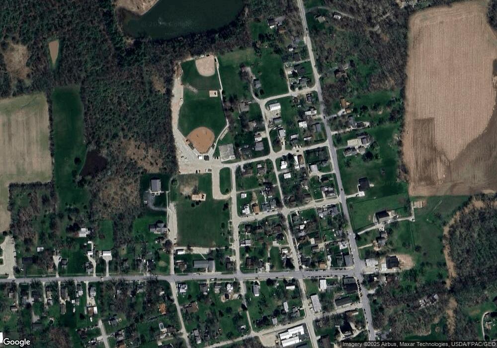
Map
Nearby Homes
- 188 Huston St
- 101 S Main St
- 0 E High St Unit Tract 1 225034753
- 0 E High St Unit Tract 4 225034758
- 0 E High St Unit Tract 3 225034757
- 0 Dean Rd Unit 225032132
- 0 Dean Rd Unit 225032131
- 3480 Ostrander Rd
- 311 Blue Ridge Ct
- 10156 Marysville Rd
- 5586 Taylor Rd
- 0 Carr Rd Unit 225016840
- 0 Burnt Pond Rd Unit Tract 1
- 0 Burnt Pond Rd Unit Tract 2
- 0 Burnt Pond Rd Unit Tract 4
- 0 Burnt Pond Rd Unit Tract 3
- 0 Burnt Pond Rd Unit Tract 5
- 0 Delaware County Line Rd
- 3880 Fry Rd
- 4910 State Route 257 S