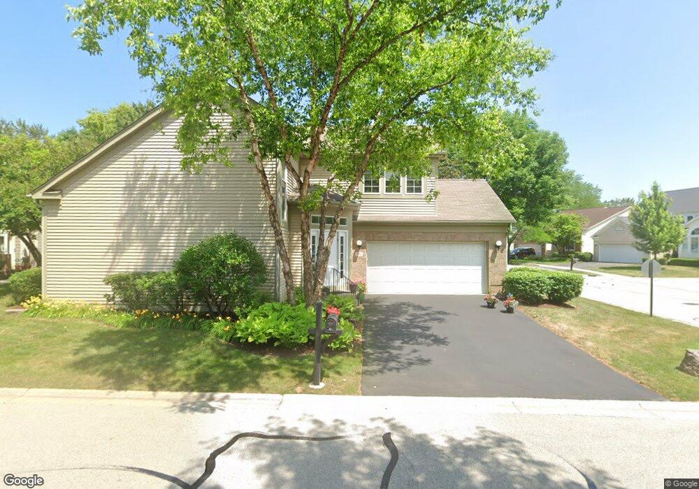
95 Manchester Dr Buffalo Grove, IL 60089
Estimated Value: $521,798 - $592,000
--
Bed
3
Baths
2,240
Sq Ft
$252/Sq Ft
Est. Value
About This Home
This home is located at 95 Manchester Dr, Buffalo Grove, IL 60089 and is currently estimated at $564,950, approximately $252 per square foot. 95 Manchester Dr is a home located in Lake County with nearby schools including Ivy Hall Elementary School, Twin Groves Middle School, and Adlai E Stevenson High School.
Ownership History
Date
Name
Owned For
Owner Type
Purchase Details
Closed on
May 26, 1995
Sold by
Katz Allen B and Katz Lois
Bought by
Katz Lois F and The Lois F Katz Trust
Current Estimated Value
Purchase Details
Closed on
May 31, 1994
Sold by
Cole Taylor Bank
Bought by
Katz Allen B and Katz Lois
Home Financials for this Owner
Home Financials are based on the most recent Mortgage that was taken out on this home.
Original Mortgage
$100,000
Interest Rate
8.58%
Create a Home Valuation Report for This Property
The Home Valuation Report is an in-depth analysis detailing your home's value as well as a comparison with similar homes in the area
Home Values in the Area
Average Home Value in this Area
Purchase History
| Date | Buyer | Sale Price | Title Company |
|---|---|---|---|
| Katz Lois F | -- | -- | |
| Katz Allen B | $308,000 | Chicago Title Insurance Co |
Source: Public Records
Mortgage History
| Date | Status | Borrower | Loan Amount |
|---|---|---|---|
| Closed | Katz Allen B | $100,000 |
Source: Public Records
Tax History Compared to Growth
Tax History
| Year | Tax Paid | Tax Assessment Tax Assessment Total Assessment is a certain percentage of the fair market value that is determined by local assessors to be the total taxable value of land and additions on the property. | Land | Improvement |
|---|---|---|---|---|
| 2024 | $8,417 | $152,268 | $40,257 | $112,011 |
| 2023 | $9,078 | $143,676 | $37,985 | $105,691 |
| 2022 | $9,078 | $138,949 | $36,735 | $102,214 |
| 2021 | $8,834 | $137,451 | $36,339 | $101,112 |
| 2020 | $8,595 | $137,920 | $36,463 | $101,457 |
| 2019 | $8,392 | $137,412 | $36,329 | $101,083 |
| 2018 | $8,348 | $119,250 | $39,491 | $79,759 |
| 2017 | $8,293 | $116,466 | $38,569 | $77,897 |
| 2016 | $8,453 | $111,526 | $36,933 | $74,593 |
| 2015 | $8,831 | $104,298 | $34,539 | $69,759 |
| 2014 | $8,961 | $98,059 | $37,095 | $60,964 |
| 2012 | $8,798 | $98,255 | $37,169 | $61,086 |
Source: Public Records
Map
Nearby Homes
- 232 Manor Dr Unit 12C
- 25 Crestview Terrace
- 36 Crestview Terrace
- 728 Old Checker Rd Unit C4
- 610 Maple Dr
- 412 Chateau Dr
- 746 Old Checker Rd Unit E5
- 496 Raupp Blvd
- 630 Woodhollow Ln
- 1112 Auburn Ln
- 690 Dunhill Dr
- 220 Osage Ln
- 612 White Pine Rd
- 10 Old Oak Dr Unit 103
- 665 Thornwood Dr
- 620 Twisted Oak Ln
- 760 Checker Dr
- 810 Silver Rock Ln
- 51 Old Oak Dr Unit 414
- 588 Fairway View Dr Unit 2E
- 93 Manchester Dr
- 97 Manchester Dr
- 91 Manchester Dr
- 86 Manchester Dr
- 88 Manchester Dr
- 99 Manchester Dr
- 84 Manchester Dr
- 90 Manchester Dr
- 72 Manchester Dr
- 89 Manchester Dr
- 82 Manchester Dr
- 70 Manchester Dr
- 74 Manchester Dr
- 101 Manchester Dr
- 80 Manchester Dr
- 92 Manchester Dr
- 103 Manchester Dr
- 68 Manchester Dr
- 87 Manchester Dr
- 76 Manchester Dr