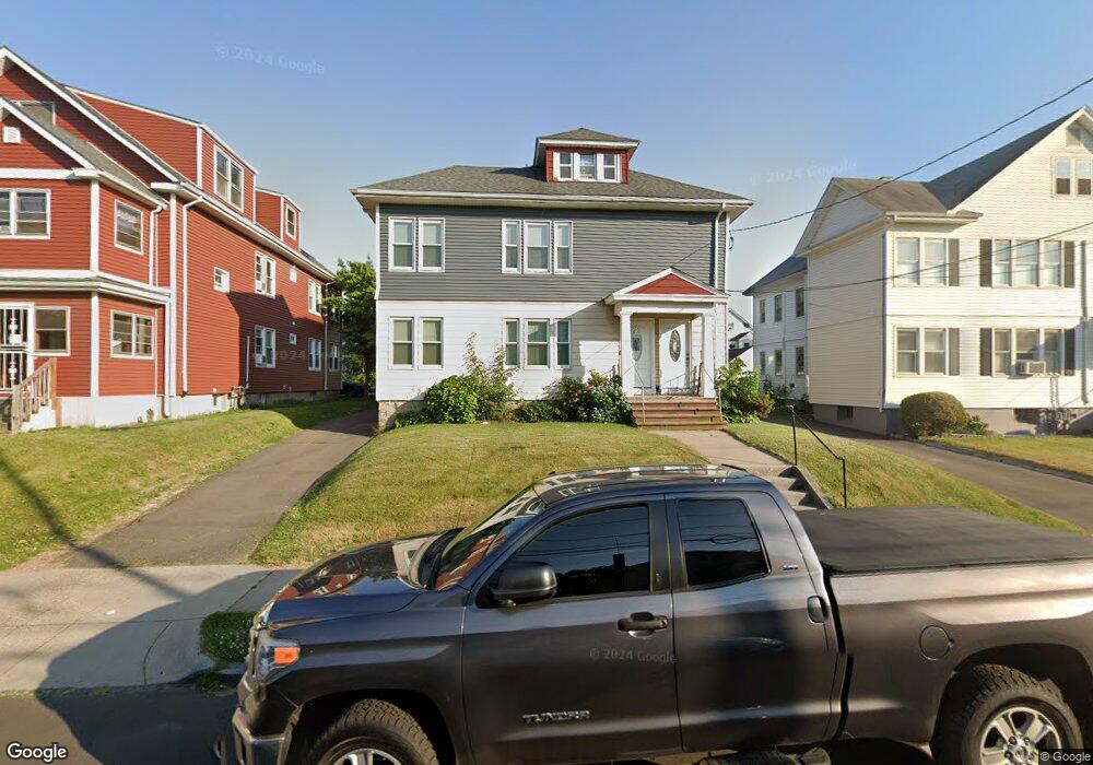
95 Mapleton St Unit 97 Hartford, CT 06114
Barry Square NeighborhoodEstimated Value: $316,138 - $437,000
4
Beds
2
Baths
2,626
Sq Ft
$148/Sq Ft
Est. Value
About This Home
This home is located at 95 Mapleton St Unit 97, Hartford, CT 06114 and is currently estimated at $387,535, approximately $147 per square foot. 95 Mapleton St Unit 97 is a home located in Hartford County with nearby schools including Asian Studies School At Dwight/Belizzi School, M. D. Fox School, and Dr. James H Naylor/Ccsu Leadership Academy.
Ownership History
Date
Name
Owned For
Owner Type
Purchase Details
Closed on
Feb 2, 2009
Sold by
Walter Wichowski T and Walter Jacobs
Bought by
Thompson Beverly
Current Estimated Value
Home Financials for this Owner
Home Financials are based on the most recent Mortgage that was taken out on this home.
Original Mortgage
$213,167
Outstanding Balance
$135,457
Interest Rate
5.28%
Mortgage Type
Purchase Money Mortgage
Estimated Equity
$252,078
Create a Home Valuation Report for This Property
The Home Valuation Report is an in-depth analysis detailing your home's value as well as a comparison with similar homes in the area
Home Values in the Area
Average Home Value in this Area
Purchase History
| Date | Buyer | Sale Price | Title Company |
|---|---|---|---|
| Thompson Beverly | $221,500 | -- |
Source: Public Records
Mortgage History
| Date | Status | Borrower | Loan Amount |
|---|---|---|---|
| Closed | Thompson Beverly | $29,500 | |
| Open | Thompson Beverly | $213,167 | |
| Closed | Thompson Beverly | $14,999 |
Source: Public Records
Tax History
| Year | Tax Paid | Tax Assessment Tax Assessment Total Assessment is a certain percentage of the fair market value that is determined by local assessors to be the total taxable value of land and additions on the property. | Land | Improvement |
|---|---|---|---|---|
| 2025 | $5,696 | $82,614 | $7,350 | $75,264 |
| 2024 | $5,696 | $82,614 | $7,350 | $75,264 |
| 2023 | $5,696 | $82,614 | $7,350 | $75,264 |
| 2022 | $4,602 | $82,614 | $7,350 | $75,264 |
| 2021 | $4,602 | $61,950 | $10,115 | $51,835 |
| 2020 | $4,602 | $61,950 | $10,115 | $51,835 |
| 2019 | $4,602 | $61,950 | $10,115 | $51,835 |
| 2018 | $4,447 | $59,861 | $9,774 | $50,087 |
| 2016 | $4,111 | $55,337 | $9,309 | $46,028 |
| 2015 | $3,916 | $52,708 | $8,866 | $43,842 |
| 2014 | $3,820 | $51,420 | $8,650 | $42,770 |
Source: Public Records
Map
Nearby Homes
- 405 W Preston St Unit 407
- 1954 Broad St
- 87 Grandview Terrace Unit 89
- 167 Campfield Ave
- 16 Henry St
- 37 Zion St Unit 39
- 240 South St Unit 242
- 330 Hillside Ave
- 535 New Britain Ave
- 70 Otis St Unit 72
- 158 Barker St Unit 160
- 43 Yale St
- 80 Cowles St
- 311 Hillside Ave
- 91 Whitmore St Unit 93
- 166 George St
- 199 Zion St
- 205 Zion St
- 120 Bond St
- 58 Catherine St Unit 58
- 91 Mapleton St Unit 93
- 99 Mapleton St Unit 101
- 87 Mapleton St Unit 89
- 103 Mapleton St Unit 105
- 370 W Preston St Unit 372
- 102 Mapleton St Unit 104
- 374 W Preston St Unit 376
- 366 W Preston St Unit 368
- 98 Mapleton St Unit 100
- 83 Mapleton St Unit 85
- 107 Mapleton St Unit 109
- 107 Mapleton St Unit 3rd Floor
- 378 W Preston St Unit 380
- 374 W Preston St ( 376)
- 362 W Preston St Unit 364
- 110 Mapleton St Unit 112
- 94 Mapleton St Unit 96
- 90 Mapleton St Unit 92
- 382 W Preston St Unit 384
- 106 Mapleton St Unit 108
Your Personal Tour Guide
Ask me questions while you tour the home.