95 Mcintire Rd Rock Spring, GA 30739
Rock Spring NeighborhoodEstimated Value: $372,000 - $430,524
3
Beds
3
Baths
2,584
Sq Ft
$153/Sq Ft
Est. Value
About This Home
This home is located at 95 Mcintire Rd, Rock Spring, GA 30739 and is currently estimated at $395,881, approximately $153 per square foot. 95 Mcintire Rd is a home located in Walker County with nearby schools including Rock Spring Elementary School, Lafayette High School, and Alice M Daley Adventist School.
Ownership History
Date
Name
Owned For
Owner Type
Purchase Details
Closed on
Jun 16, 2004
Sold by
Mitchell David and Wf Chanshini
Bought by
Mitchell Chanshini
Current Estimated Value
Purchase Details
Closed on
Apr 6, 2001
Sold by
Schroder Herschel and Schroder Joanna
Bought by
Mitchell David and Wf Chanshini
Purchase Details
Closed on
Apr 18, 1985
Sold by
Wm Redmond
Bought by
Schroder Herschel and Schroder Joanna
Purchase Details
Closed on
Jan 1, 1972
Bought by
Wm Redmond
Create a Home Valuation Report for This Property
The Home Valuation Report is an in-depth analysis detailing your home's value as well as a comparison with similar homes in the area
Home Values in the Area
Average Home Value in this Area
Purchase History
| Date | Buyer | Sale Price | Title Company |
|---|---|---|---|
| Mitchell Chanshini | -- | -- | |
| Mitchell David | $190,000 | -- | |
| Schroder Herschel | $7,000 | -- | |
| Wm Redmond | -- | -- |
Source: Public Records
Tax History Compared to Growth
Tax History
| Year | Tax Paid | Tax Assessment Tax Assessment Total Assessment is a certain percentage of the fair market value that is determined by local assessors to be the total taxable value of land and additions on the property. | Land | Improvement |
|---|---|---|---|---|
| 2024 | $2,772 | $150,362 | $35,810 | $114,552 |
| 2023 | $2,668 | $137,125 | $28,421 | $108,704 |
| 2022 | $2,530 | $124,360 | $31,500 | $92,860 |
| 2021 | $2,346 | $107,564 | $31,500 | $76,064 |
| 2020 | $2,047 | $93,409 | $31,500 | $61,909 |
| 2019 | $2,082 | $93,409 | $31,500 | $61,909 |
| 2018 | $2,472 | $93,409 | $31,500 | $61,909 |
| 2017 | $2,931 | $93,409 | $31,500 | $61,909 |
| 2016 | $2,367 | $93,409 | $31,500 | $61,909 |
| 2015 | $2,091 | $77,287 | $26,900 | $50,387 |
| 2014 | $1,964 | $77,287 | $26,900 | $50,387 |
| 2013 | -- | $77,287 | $26,900 | $50,387 |
Source: Public Records
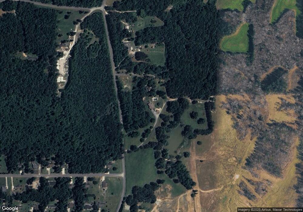
Map
Nearby Homes
- 201 Van Dell Dr
- 533 Van Dell Dr
- 1052 Huffman Rd
- 0 Temperance Hall Rd Unit 10506446
- 0 Temperance Hall Rd Unit 1510568
- 200 Ash Ln
- 1314 Mcintire Rd
- 23 Oak Meadow Dr
- 106 Meadow Oak Dr
- 58 Oak Run
- 5062 Georgia 95
- 287 E Teems Rd
- 1282 Temperance Hall Rd
- 524 E Teems Rd
- 200 Cattail Dr
- 76 Side Kick Ln
- 182 Boxer Ln
- 72 Brutis Dr
- 0 Georgia 95
- 15 Brutis Dr
- 91 Mcintire Rd
- 1185 Van Dell Dr
- 11 Mcintire Rd
- 941 Van Dell Dr
- 1184 Van Dell Dr
- 1180 Van Dell Dr
- 1137 Van Dell Dr
- 2096 Colbert Hollow Rd
- 32 Van Dell Dr
- 1150 Van Dell Dr
- 1101 Van Dell Dr
- 1069 Van Dell Dr
- 1101 Van Dell Dr
- 62 Van Dell Dr
- 1917 Colbert Hollow Rd
- 114 Van Dell Dr
- 1100 Van Dell Dr
- 37 Van Dell Dr
- 1085 Van Dell Dr
- 1085 Van Dell Dr Unit LOT 63