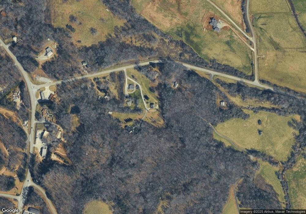
95 Memory Ln Dahlonega, GA 30533
Estimated Value: $286,823 - $366,000
--
Bed
2
Baths
1,653
Sq Ft
$193/Sq Ft
Est. Value
About This Home
This home is located at 95 Memory Ln, Dahlonega, GA 30533 and is currently estimated at $319,206, approximately $193 per square foot. 95 Memory Ln is a home located in Lumpkin County with nearby schools including Clay County Middle School and Lumpkin County High School.
Ownership History
Date
Name
Owned For
Owner Type
Purchase Details
Closed on
Dec 6, 2012
Sold by
Lowe William Jeffery
Bought by
Lowe Debra L
Current Estimated Value
Home Financials for this Owner
Home Financials are based on the most recent Mortgage that was taken out on this home.
Original Mortgage
$93,000
Outstanding Balance
$17,189
Interest Rate
3.45%
Mortgage Type
New Conventional
Estimated Equity
$302,017
Purchase Details
Closed on
Jul 18, 1994
Sold by
Nolan Debra L
Bought by
Lowe William Jeffery
Purchase Details
Closed on
Feb 10, 1994
Sold by
Nolan Robert L
Bought by
Nolan Debra L
Purchase Details
Closed on
Dec 1, 1987
Sold by
Nolan Debra L
Bought by
Nolan Robert L
Purchase Details
Closed on
May 1, 1986
Bought by
Nolan Debra L
Create a Home Valuation Report for This Property
The Home Valuation Report is an in-depth analysis detailing your home's value as well as a comparison with similar homes in the area
Home Values in the Area
Average Home Value in this Area
Purchase History
| Date | Buyer | Sale Price | Title Company |
|---|---|---|---|
| Lowe Debra L | -- | -- | |
| Lowe William Jeffery | -- | -- | |
| Nolan Debra L | -- | -- | |
| Nolan Robert L | -- | -- | |
| Nolan Debra L | -- | -- |
Source: Public Records
Mortgage History
| Date | Status | Borrower | Loan Amount |
|---|---|---|---|
| Open | Lowe Debra L | $93,000 |
Source: Public Records
Tax History Compared to Growth
Tax History
| Year | Tax Paid | Tax Assessment Tax Assessment Total Assessment is a certain percentage of the fair market value that is determined by local assessors to be the total taxable value of land and additions on the property. | Land | Improvement |
|---|---|---|---|---|
| 2024 | $24 | $95,885 | $11,347 | $84,538 |
| 2023 | $1,636 | $89,105 | $10,315 | $78,790 |
| 2022 | $1,842 | $76,413 | $8,598 | $67,815 |
| 2021 | $1,611 | $64,950 | $8,598 | $56,352 |
| 2020 | $1,609 | $63,006 | $8,238 | $54,768 |
| 2019 | $1,624 | $63,006 | $8,238 | $54,768 |
| 2018 | $1,545 | $56,468 | $8,238 | $48,230 |
| 2017 | $1,512 | $54,253 | $8,238 | $46,015 |
| 2016 | $1,382 | $48,219 | $8,238 | $39,981 |
| 2015 | $1,231 | $48,219 | $8,238 | $39,981 |
| 2014 | $1,231 | $48,706 | $8,238 | $40,468 |
| 2013 | -- | $49,192 | $8,238 | $40,954 |
Source: Public Records
Map
Nearby Homes
- 00 LOT C Cavender Creek Rd
- 00 Cavender Creek Rd
- 85 Summit Canyon Rd Unit H102
- 2589 Morrison Moore Pkwy E
- 4039 Highway 19 N
- 238 Grand View St
- 65 Golden Autumn Dr
- 1323 Cavender Creek Rd
- 34 Great Works Dr
- 149 Highland Rd S
- 77 Old River Rd
- LOT 6 Sky Country Rd
- 159 Misty Way
- 122 Tritt Rd
- 302 Pointe Cir
- 13 Hallmark Place
- 03 Kate Rd
- 1036 Wards Creek Dr
- 40 Memory Ln
- 100 Memory Ln
- 214 Cavender Creek Rd
- 318 Cavender Creek Rd
- 136 Cavender Creek Rd Unit A & B
- 136 Cavender Creek Rd
- 225 Memory Ln
- 118 Cavender Creek Rd
- 366 Cavender Creek Rd
- 20 26 Cavender Trail
- 0 Summit Dr Unit 8311013
- 0 Summit Dr Unit 5952270
- 0 Summit Dr Unit 7449726
- 0 Summit Dr Unit 7 FINAL PLATTED LOTS
- 0 Summit Dr Unit 20178404
- 0 Summit Dr Unit 9066269
- 0 Summit Dr Unit 6840955
- 0 Summit Dr Unit 8928464
- 0 Summit Dr Unit 6111182
- 0 Summit Dr Unit 8498502
