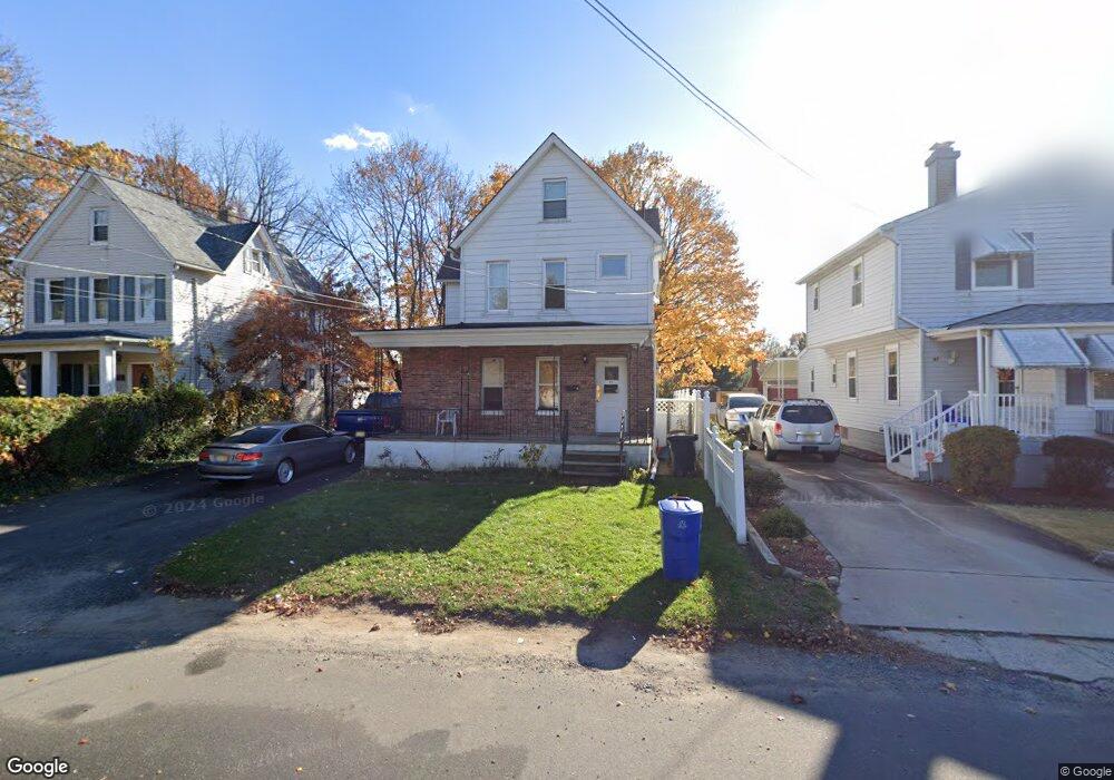
95 Milltown Rd Unit 1 East Brunswick, NJ 08816
Estimated Value: $338,985 - $500,000
2
Beds
1
Bath
1,614
Sq Ft
$261/Sq Ft
Est. Value
About This Home
This home is located at 95 Milltown Rd Unit 1, East Brunswick, NJ 08816 and is currently estimated at $421,746, approximately $261 per square foot. 95 Milltown Rd Unit 1 is a home located in Middlesex County with nearby schools including Central Elementary School, Churchill Junior High School, and Hammarskjold Upper Elementary School.
Ownership History
Date
Name
Owned For
Owner Type
Purchase Details
Closed on
Dec 16, 2015
Sold by
95 Milltown Rd Llc
Bought by
Real Estate Llp
Current Estimated Value
Purchase Details
Closed on
Oct 25, 2007
Purchase Details
Closed on
Oct 5, 2005
Sold by
Profaci Katerina
Bought by
Profaci Johh and Profaci Katerina
Home Financials for this Owner
Home Financials are based on the most recent Mortgage that was taken out on this home.
Original Mortgage
$185,000
Interest Rate
5.72%
Create a Home Valuation Report for This Property
The Home Valuation Report is an in-depth analysis detailing your home's value as well as a comparison with similar homes in the area
Home Values in the Area
Average Home Value in this Area
Purchase History
| Date | Buyer | Sale Price | Title Company |
|---|---|---|---|
| Real Estate Llp | $242,500 | Mega Title Llc | |
| -- | -- | -- | |
| Profaci Johh | $90,000 | -- |
Source: Public Records
Mortgage History
| Date | Status | Borrower | Loan Amount |
|---|---|---|---|
| Previous Owner | Profaci Johh | $185,000 |
Source: Public Records
Tax History Compared to Growth
Tax History
| Year | Tax Paid | Tax Assessment Tax Assessment Total Assessment is a certain percentage of the fair market value that is determined by local assessors to be the total taxable value of land and additions on the property. | Land | Improvement |
|---|---|---|---|---|
| 2025 | $7,515 | $62,600 | $15,800 | $46,800 |
| 2024 | $7,310 | $62,600 | $15,800 | $46,800 |
| 2023 | $7,310 | $62,600 | $15,800 | $46,800 |
| 2022 | $7,284 | $62,600 | $15,800 | $46,800 |
| 2021 | $7,076 | $62,600 | $15,800 | $46,800 |
| 2020 | $7,066 | $62,600 | $15,800 | $46,800 |
| 2019 | $6,992 | $62,600 | $15,800 | $46,800 |
| 2018 | $6,867 | $62,600 | $15,800 | $46,800 |
| 2017 | $6,755 | $62,600 | $15,800 | $46,800 |
| 2016 | $6,615 | $62,600 | $15,800 | $46,800 |
| 2015 | $6,449 | $62,600 | $15,800 | $46,800 |
| 2014 | $5,706 | $56,600 | $15,800 | $40,800 |
Source: Public Records
Map
Nearby Homes
- 82 Milltown Rd
- 15 Cortland Dr
- 45 Cortland Dr
- 4 Clayton Ct
- 28 Elm St
- 18 Milltown Rd
- 5 Lois Ave
- 77 Wilcox Ave
- 7 Wedgewood Ct
- 402 Cranbury Rd Unit 8
- 212 Old Bridge Turnpike
- 166 Joseph St
- 149 Prigmore St
- 28 Johnson Place
- 13 Mclellan Ct
- 4 Colin St
- 22 Roosevelt St
- 147 Old Bridge Turnpike
- 13 Garwood St
- 86 Hillside Ave