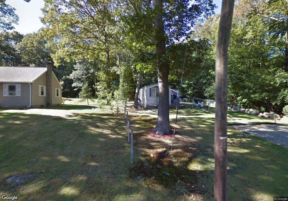
95 Moxley Rd Uncasville, CT 06382
Oxoboxo River NeighborhoodEstimated Value: $252,000 - $303,000
2
Beds
2
Baths
800
Sq Ft
$357/Sq Ft
Est. Value
About This Home
This home is located at 95 Moxley Rd, Uncasville, CT 06382 and is currently estimated at $285,493, approximately $356 per square foot. 95 Moxley Rd is a home with nearby schools including Leonard J. Tyl Middle School, Montville High School, and Bradley School-New London Regional.
Ownership History
Date
Name
Owned For
Owner Type
Purchase Details
Closed on
Aug 31, 2007
Sold by
Barlett David
Bought by
Church Douglas R and Church Joann T
Current Estimated Value
Purchase Details
Closed on
Apr 23, 2004
Sold by
Foster Jennifer
Bought by
Bartlett David
Create a Home Valuation Report for This Property
The Home Valuation Report is an in-depth analysis detailing your home's value as well as a comparison with similar homes in the area
Home Values in the Area
Average Home Value in this Area
Purchase History
| Date | Buyer | Sale Price | Title Company |
|---|---|---|---|
| Church Douglas R | $200,000 | -- | |
| Church Douglas R | $200,000 | -- | |
| Bartlett David | $152,000 | -- | |
| Bartlett David | $152,000 | -- |
Source: Public Records
Mortgage History
| Date | Status | Borrower | Loan Amount |
|---|---|---|---|
| Open | Bartlett David | $228,000 | |
| Previous Owner | Bartlett David | $163,000 |
Source: Public Records
Tax History Compared to Growth
Tax History
| Year | Tax Paid | Tax Assessment Tax Assessment Total Assessment is a certain percentage of the fair market value that is determined by local assessors to be the total taxable value of land and additions on the property. | Land | Improvement |
|---|---|---|---|---|
| 2025 | $3,363 | $116,480 | $33,600 | $82,880 |
| 2024 | $3,235 | $116,480 | $33,600 | $82,880 |
| 2023 | $3,235 | $116,480 | $33,600 | $82,880 |
| 2022 | $3,111 | $116,480 | $33,600 | $82,880 |
| 2021 | $12 | $82,420 | $31,840 | $50,580 |
| 2020 | $12 | $82,420 | $31,840 | $50,580 |
| 2019 | $2,679 | $82,420 | $31,840 | $50,580 |
| 2018 | $2,615 | $82,420 | $31,840 | $50,580 |
| 2017 | $2,613 | $82,420 | $31,840 | $50,580 |
| 2016 | $2,604 | $89,570 | $39,750 | $49,820 |
| 2015 | $2,604 | $89,570 | $39,750 | $49,820 |
| 2014 | $2,631 | $89,570 | $39,750 | $49,820 |
Source: Public Records
Map
Nearby Homes
- 22 Heather Brook Rd
- 19 Wyndwood Rd
- 60 Hammel Ln
- 5 Mountain Laurel Ridge
- 57 Roselund Hill Rd
- 10 Marcia Dr
- 1 High Ridge Cir
- 245 Norwich New London Turnpike Unit 22
- 230 Gay Hill Rd
- 0 Monahan Dr
- 270 Gay Hill Rd
- 36 Depot Rd
- 13 Dock Rd
- 320 Maple Ave
- 505 Old Colchester Rd
- 184 Kitemaug Rd
- 205 Old Norwich Rd
- 45 Lynch Hill Rd
- 6 Sunset Rd
- 9 West Dr