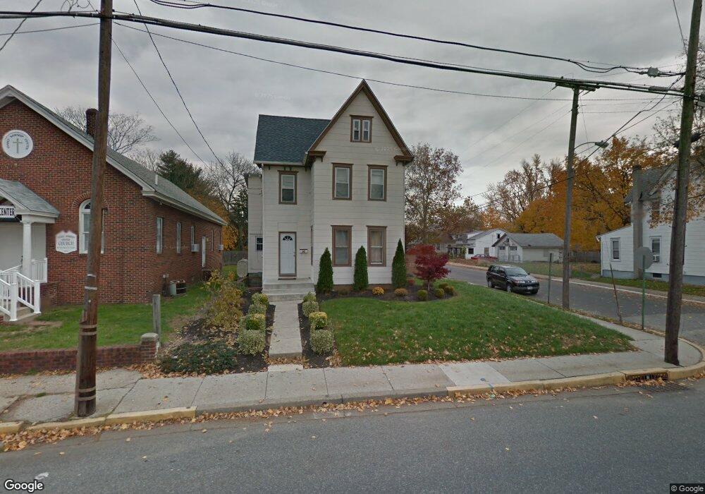
95 N Broad St Penns Grove, NJ 08069
Estimated Value: $95,000 - $289,000
--
Bed
--
Bath
1,737
Sq Ft
$110/Sq Ft
Est. Value
About This Home
This home is located at 95 N Broad St, Penns Grove, NJ 08069 and is currently estimated at $191,427, approximately $110 per square foot. 95 N Broad St is a home located in Salem County with nearby schools including Lafayette-Pershing Elementary School, Field Street Elementary School, and Paul W. Carleton Elementary School.
Ownership History
Date
Name
Owned For
Owner Type
Purchase Details
Closed on
Jul 3, 2017
Sold by
Torres Santiago
Bought by
Torres Christina
Current Estimated Value
Purchase Details
Closed on
Jun 23, 2008
Sold by
Zaluske Kathryn H
Bought by
Torres Santiago
Purchase Details
Closed on
Aug 27, 1999
Sold by
Zaluske Walter W
Bought by
Zaluske Kathryn H
Purchase Details
Closed on
Sep 30, 1996
Sold by
Zaluske Walter W
Bought by
Zaluske Walter W and Zaluske Kathryn H
Create a Home Valuation Report for This Property
The Home Valuation Report is an in-depth analysis detailing your home's value as well as a comparison with similar homes in the area
Home Values in the Area
Average Home Value in this Area
Purchase History
| Date | Buyer | Sale Price | Title Company |
|---|---|---|---|
| Torres Christina | $9,000 | None Available | |
| Torres Santiago | $32,500 | -- | |
| Zaluske Kathryn H | -- | -- | |
| Zaluske Walter W | -- | -- |
Source: Public Records
Tax History Compared to Growth
Tax History
| Year | Tax Paid | Tax Assessment Tax Assessment Total Assessment is a certain percentage of the fair market value that is determined by local assessors to be the total taxable value of land and additions on the property. | Land | Improvement |
|---|---|---|---|---|
| 2025 | $4,232 | $76,300 | $12,500 | $63,800 |
| 2024 | $4,090 | $76,300 | $12,500 | $63,800 |
| 2023 | $4,090 | $76,300 | $12,500 | $63,800 |
| 2022 | $3,942 | $76,300 | $12,500 | $63,800 |
| 2021 | $3,772 | $76,300 | $12,500 | $63,800 |
| 2020 | $3,822 | $76,300 | $12,500 | $63,800 |
| 2019 | $3,838 | $76,300 | $12,500 | $63,800 |
| 2018 | $3,130 | $77,600 | $20,500 | $57,100 |
| 2017 | $3,141 | $77,600 | $20,500 | $57,100 |
| 2016 | $3,023 | $77,600 | $20,500 | $57,100 |
| 2015 | $2,895 | $77,600 | $20,500 | $57,100 |
| 2014 | $2,863 | $77,600 | $20,500 | $57,100 |
Source: Public Records
Map
Nearby Homes
- 31 Elvin Ave
- 113 N Broad St
- 18 Pearl St
- 6 W Griffith St
- 27 E Line St
- 59 61 Broad St
- 71 Poplar St
- 54 W Pitman St
- 78 W Harmony St
- 35 Franklin St
- 99 N Virginia Ave
- 136 Penns Grove Auburn Rd
- 87 W Pitman St
- 3 Naylor Ave
- 0 Cumberland Ave
- 142 N Dolbow Ave
- 28 4th Ave
- 0 Lincoln Avenue & Cumberland
- 88 Railroad Ave
- 80 S Broad St